Vent
实时摄像头
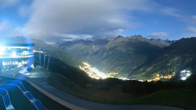
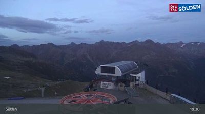
开放缆车: 0/4
积雪报告
- 过去24小时: 0 厘米
- 过去72小时: 0 厘米
- 过去7天: 0 厘米
- 过去7天: 山谷 0.1厘米 · 山腰 0厘米 · 山顶 0.1厘米
- 本季累计: 20.7 厘米
About Vent
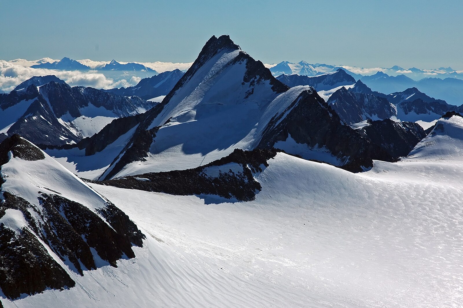
A secluded sanctuary for mountaineering purists, this quiet outpost serves as the gateway to the Ötztal’s most rugged high-alpine peaks.
Highlights
- High-altitude trekking
- Mountaineering tradition
- Serene isolation
- Glacier hiking
Key Facts
- Altitude: 1902m
- Top lift: 2646m
- Ski pistes: 15km
- Ski lifts: 4
- Population: 137
- Lakes nearby: 7
- MTB trails: 56.5km
- Mountain huts: 25
Ski Area
已包含在以下滑雪通票中
Weather and 10-day forecast for Vent
- Today: 5 to 15 °C, partly cloudy, 7 h of sunshine
- Freezing level today: about 4052 m (3610 to 4280 m)
| Day | Min / max | Sky | Precipitation | Sunshine |
|---|---|---|---|---|
| 9月20日周日 | 5 / 15 °C | partly cloudy | dry | 7 h sun |
| 9月21日周一 | 3 / 12 °C | clear sky | dry | 8 h sun |
| 9月22日周二 | 3 / 9 °C | clear sky | dry | 12 h sun |
| 9月23日周三 | 3 / 12 °C | clear sky | dry | 12 h sun |
| 9月24日周四 | 4 / 12 °C | clear sky | dry | 11 h sun |
| 9月25日周五 | 3 / 10 °C | clear sky | dry | 8 h sun |
| 9月26日周六 | 6 / 13 °C | clear sky | dry | 12 h sun |
| 9月27日周日 | 7 / 14 °C | clear sky | dry | 12 h sun |
| 9月28日周一 | 6 / 14 °C | clear sky | dry | 12 h sun |
| 9月29日周二 | 5 / 12 °C | clear sky | dry | 12 h sun |
Things to do in Vent
Hikes nearby — Vent (17)
17 curated hiking trails around Vent, sourced from OpenStreetMap and enriched with distance, elevation gain and difficulty.
-
Ötztal Trek Etappe 11
Etappe 11 crosses demanding, partly pathless high-alpine terrain — boulders, ice, rock slabs, and scree — where fixed ropes and steel hoops assist the steepest passages. The day ends at the Martin-Busch-Hütte, a comfortable refuge set in a high-mountain landscape.
-
Via Alpina Yellow B32
Similaunhütte / Rifugio Similaun - Vent
-
Via Alpina Yellow B33
Vent - Zwieselstein
-
Ötztal Trek Etappe 17
The route traverses the panoramic Venter Höhenweg above the Venter Tal before crossing the Tiefenbachergletscher — glacier experience is required — with a rest stop at the Restaurant Tiefenbacher breaking the long haul of ascents and descents to the Braunschweiger Hütte. Terrain is partly pathless, demanding both sure-footedness and high-alpine experience.
-
Ötztal Trek Etappe 16
A short stage offering grand views over the Grosser Vernagtferner glacier and the Hochvernagtspitze, with the Breslauer Hütte destination opening up further panoramas onto the Hochjochferner and the Weißkugel. Demanding terrain requires sure-footedness and high-alpine experience.
-
Sonnberg-Höhenweg
The Sonnberg-Höhenweg above Vent offers sweeping views back down toward the village and passes at least one still pond along its high route.
-
Venter Höhenweg
The Venter Höhenweg is a panoramic high-altitude trail that leads across demanding, partly pathless black-rated terrain to the Tiefenbach Glacier, with a stop at the Tiefenbacher restaurant along the way. Sure-footedness, glacier experience, and high alpine fitness are required for this challenging route through the Ötztal Alps above the village of Vent.
-
Ötztal Trek Etappe 10
Obergurgl → Ramolhaus
-
Ötztal Trek Etappe 12
Martin-Busch-Hütte → Similaunhütte
-
Ötztal Trek Etappe 13
Similaunhütte → Hochjochhospiz
-
Piccard-Übergang
-
Via Alpina Yellow B34
Zwieselstein - Braunschweiger Hütte
-
Wanderweg 924
-
Wanderweg 925
-
Fuldaer Höhenweg
-
Offenbacher Höhenweg
-
Mainzer Höhenweg
Mountain biking near Vent
- Hochgurgl - Wurmkogel
- Festkogl
- Langtalereckhütte
- Gurgler Achweg
- Cyprian-Granbichler-Weg
- Fernar Trail (6041) / 28b
Getting to Vent
Door-to-door travel times as used by the MR. ALPS ranking.
- Nearest airport: Innsbruck Airport (INN), 55 km away, about 1h32 by road
- Innsbruck: 1h38 by car, 105 km
- Bolzano - Bozen: 1h55 by car, 114 km
- Trento: 2h23 by car, 165 km
- München: 3h04 by car, 209 km
- Verona: 3h21 by car, 260 km
- Brescia: 3h52 by car, 296 km
Where to stay in Vent
31 places to stay for a night on 2026-09-25, from 110 EUR per night, median 230 EUR. Prices are direct with hotels and destinations, compared live on the Vent page.