Vals
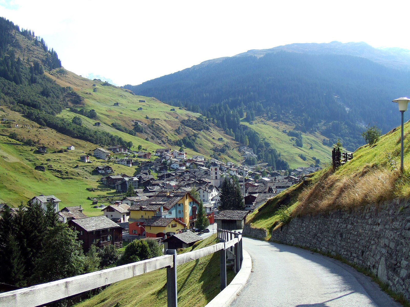
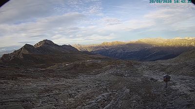
实时摄像头


开放缆车: 0/6
积雪报告
- 过去24小时: 0 厘米
- 过去72小时: 0 厘米
- 过去7天: 0 厘米
- 过去7天: 山谷 0厘米 · 山腰 0厘米 · 山顶 0厘米
- 本季累计: 14.8 厘米
About Vals
A minimalist sanctuary of gray quartzite, Vals is the high-altitude temple of Swiss design and restorative thermal bathing.
Highlights
- Peter Zumthor architecture
- Deep-valley isolation
- Monolithic stone baths
- Understated luxury
Key Facts
- Altitude: 1250m
- Top lift: 2851m
- Ski pistes: 25km
- Ski lifts: 6
- Population: 958
- Lakes nearby: 13
- MTB trails: 173.8km
- Mountain huts: 10
Ski Area
已包含在以下滑雪通票中
Weather and 10-day forecast for Vals
- Today: 7 to 15 °C, clear sky, 10 h of sunshine
- Freezing level today: about 4201 m (4090 to 4290 m)
| Day | Min / max | Sky | Precipitation | Sunshine |
|---|---|---|---|---|
| 9月20日周日 | 7 / 15 °C | clear sky | dry | 10 h sun |
| 9月21日周一 | 5 / 12 °C | overcast | dry | 3 h sun |
| 9月22日周二 | 3 / 12 °C | clear sky | dry | 10 h sun |
| 9月23日周三 | 4 / 14 °C | clear sky | dry | 11 h sun |
| 9月24日周四 | 0 / 9 °C | rain showers | dry | 3 h sun |
| 9月25日周五 | -1 / 11 °C | clear sky | dry | 12 h sun |
| 9月26日周六 | 4 / 16 °C | clear sky | dry | 12 h sun |
| 9月27日周日 | 6 / 18 °C | clear sky | dry | 12 h sun |
| 9月28日周一 | 7 / 19 °C | clear sky | dry | 12 h sun |
| 9月29日周二 | 4 / 18 °C | clear sky | dry | 12 h sun |
Things to do in Vals
Hikes nearby — Vals (20)
20+ curated hiking trails around Vals, sourced from OpenStreetMap and enriched with distance, elevation gain and difficulty.
-
Gadstatt-Zervreila
-
Zervreila Läntahütte
-
Vals-Zervreila
The trail crosses open, snow-covered moorland past numerous mountain streams, with views across the valley to the Fanellhorn, Guraletschhorn, and Ampervreilhorn — all overshadowed by the sharp pyramid of the Zervreilahorn, known as the Matterhorn of the Grisons, rising above the Zervreila reservoir.
-
Orte der Magie - Salischina
-
Zervreila Läntahütte
Greina Alta 4nd day
-
09-Alpenpässe-Weg
-
08-Alpenpässe-Weg
-
Walserweg - Etappe 2
-
Walserweg - Etappe 3
-
Plaun Tgiern-Parvalsauns
-
Orte der Magie - Vrin
Rundweg Vrin - Parvalsauns - Vrin
-
Capanna Motterascio - Garzott
-
Crap la Crusch - Capanna Motterascio
-
Camona dil Terri-Crap la Crusch
-
Zervreila - Diga del Luzzone
Zervreila->2:25->Lampetsch Alp->4:40->Luzzone->5:05->Lampetsch Alp->2:19->Zervreila
-
Walserweg: Hinterrhein - Vals Platz PTT
-
Alpenpässe-Weg: Vrin - Cap. Scaletta
-
Walserweg: Vals Platz PTT - Safien Turrahus
-
Walserweg: San Bernardino Posta - Hinterrhein
-
07-Via Alta Crio
Mountain biking near Vals
- Graubünden Bike - Etappe 10 (Safien Platz–Lumbrein)
- Alpine Bike - Etappe 7
- Nino Schurter Bike
- Lampertschalp
- Peil
- Leis
- Fruntweg
- Kartütschaweg
Getting to Vals
Door-to-door travel times as used by the MR. ALPS ranking.
- Nearest airport: Zürich Airport (ZRH), 105 km away, about 2h51 by road
- Zürich: 2h31 by car, 177 km
- Luzern: 2h42 by car, 161 km
- Basel: 3h28 by car, 259 km
- Milano: 3h46 by car, 242 km
- Innsbruck: 3h53 by car, 274 km
- Biel/Bienne: 3h54 by car, 297 km
Where to stay in Vals
20 places to stay for a night on 2026-09-25, from 165 EUR per night, median 578 EUR. Prices are direct with hotels and destinations, compared live on the Vals page.