Percha / Perca
实时摄像头


开放缆车: 0/32
积雪报告
- 过去24小时: 0 厘米
- 过去72小时: 0 厘米
- 过去7天: 0 厘米
- 过去7天: 山谷 0厘米 · 山腰 0厘米 · 山顶 0厘米
- 本季累计: 0 厘米
About Percha / Perca
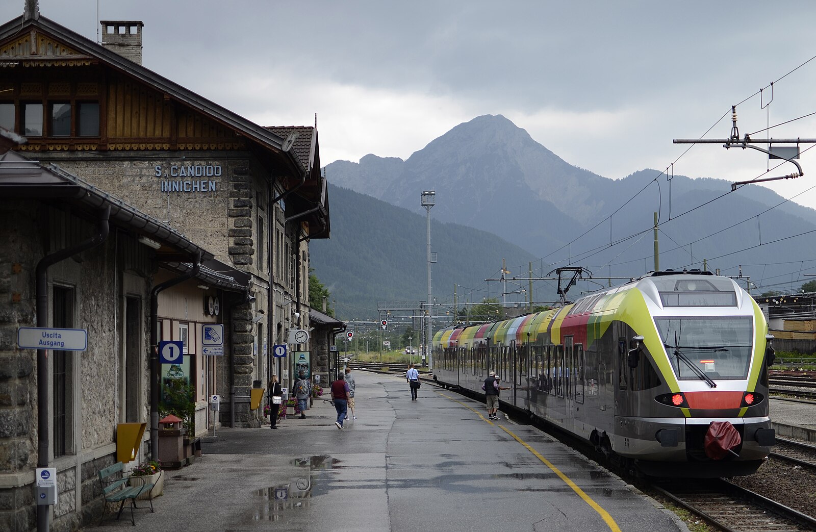
A practical South Tyrolean gateway offering seamless train-to-gondola access for those who prioritize efficiency over resort glitz.
Highlights
- Direct rail connections
- Kronplatz access
- Ladin culture
- Low-key atmosphere
Key Facts
- Altitude: 973m
- Top lift: 2275m
- Ski pistes: 121km
- Ski lifts: 31
- Population: 1,728
- Lakes nearby: 8
- MTB trails: 68.5km
- Mountain huts: 3
Ski Area
已包含在以下滑雪通票中
Weather and 10-day forecast for Percha / Perca
- Today: 8 to 18 °C, partly cloudy, 7 h of sunshine
- Freezing level today: about 4058 m (3820 to 4220 m)
| Day | Min / max | Sky | Precipitation | Sunshine |
|---|---|---|---|---|
| 9月20日周日 | 8 / 18 °C | partly cloudy | dry | 7 h sun |
| 9月21日周一 | 8 / 15 °C | overcast | dry | 3 h sun |
| 9月22日周二 | 5 / 12 °C | clear sky | dry | 13 h sun |
| 9月23日周三 | 4 / 15 °C | clear sky | dry | 12 h sun |
| 9月24日周四 | 6 / 15 °C | clear sky | dry | 11 h sun |
| 9月25日周五 | 6 / 17 °C | overcast | dry | 2 h sun |
| 9月26日周六 | 8 / 19 °C | clear sky | dry | 11 h sun |
| 9月27日周日 | 7 / 16 °C | overcast | dry | 3 h sun |
| 9月28日周一 | 5 / 20 °C | clear sky | dry | 11 h sun |
| 9月29日周二 | 6 / 20 °C | clear sky | dry | 8 h sun |
Things to do in Percha / Perca
Hikes nearby — Percha / Perca (20)
20+ curated hiking trails around Percha / Perca, sourced from OpenStreetMap and enriched with distance, elevation gain and difficulty.
-
Wanderroute 22
-
Naturlehrpfad
-
Panoramaweg
The Panoramaweg leads from the parish church of Niederolang through the quiet, shaded forest of the Riedwald, past the historic Schloss Lamprechtsburg, before descending into Bruneck along the Pustertal. Trail marker 15 threads through the Riedlerhöfe farmsteads before joining trail 14 for the final stretch into town.
-
Pyramidenweg
-
Rundweg Reischach
The trail sets out from the Tschurtschenthaler Park near the Ursuline Church in Bruneck's centre, crossing beneath the road before following trail no. 20 through forest to a Soldiers' Cemetery, then continuing partly through woodland and partly along open pathfields to reach Reischach/Riscone.
-
Kehlburgweg
-
Sagenweg - Sentiero delle leggende
-
Dorfrundweg Rasen
-
Archäologischer Panoramaweg - Sentiero panoramico archeologico
-
Panoramaweg
-
Koflsteig
-
Panoramasteig
-
Rundweg Klosterwald
-
Kirchweg
-
Steine erzählen
-
1 - Al Plan de Mareo => Kronplatz
-
11 - Ehrenburg
-
Almsteig
-
Biotopweg - Via del Biotopo
-
Dolomitenblickrunde
Mountain biking near Percha / Perca
- Andreas Trail
- Hans
- Korer Trail
- Alex Trail
- Uschi-Trail
Getting to Percha / Perca
Door-to-door travel times as used by the MR. ALPS ranking.
- Nearest airport: Innsbruck Airport (INN), 71 km away, about 1h47 by road
- Bolzano - Bozen: 1h10 by car, 77 km
- Innsbruck: 1h38 by car, 110 km
- Trento: 1h40 by car, 133 km
- Verona: 2h38 by car, 228 km
- Padova: 3h04 by car, 235 km
- Brescia: 3h09 by car, 264 km
Where to stay in Percha / Perca
200 places to stay for a night on 2026-09-25, from 130 EUR per night, median 377 EUR. Prices are direct with hotels and destinations, compared live on the Percha / Perca page.