Mayens de Conthey
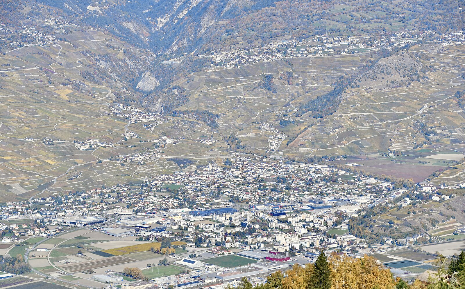
Webcam na żywo



Otwarte wyciągi: 18%
Raport śniegowy
- Ostatnie 24h: 0 cm
- Ostatnie 72h: 0 cm
- Ostatnie 7 dni: 0 cm
- Ostatnie 7 dni: Dolina 0cm · Środek stoku 0cm · Szczyt 0cm
- Suma sezonowa: 0 cm
Ośrodki narciarskie otwarte teraz · Raport śniegowy
About Mayens de Conthey
A secluded cluster of sun-drenched chalets overlooking the Rhone Valley, prized for its rustic authenticity and vast vineyard vistas.
Highlights
- Rustic stone dwellings
- Panoramic vineyard views
- Off-grid tranquility
- Terraced mountain slopes
Key Facts
- Altitude: 1362m
- Top lift: 1439m
- Ski pistes: 1km
- Ski lifts: 1
- Lakes nearby: 17
- MTB trails: 32.4km
- Mountain huts: 22
Ski Area
Karnety sezonowe obejmujące tę miejscowość
Weather and 10-day forecast for Mayens de Conthey
- Today: 12 to 18 °C, partly cloudy, 5 h of sunshine
- Freezing level today: about 3867 m (3700 to 4080 m)
| Day | Min / max | Sky | Precipitation | Sunshine |
|---|---|---|---|---|
| czw., 24 wrz | 12 / 18 °C | partly cloudy | dry | 5 h sun |
| pt., 25 wrz | 11 / 18 °C | partly cloudy | dry | 8 h sun |
| sob., 26 wrz | 13 / 22 °C | clear sky | dry | 12 h sun |
| niedz., 27 wrz | 13 / 24 °C | clear sky | dry | 12 h sun |
| pon., 28 wrz | 14 / 24 °C | clear sky | dry | 9 h sun |
| wt., 29 wrz | 13 / 24 °C | clear sky | dry | 12 h sun |
| śr., 30 wrz | 10 / 22 °C | overcast | dry | 2 h sun |
| czw., 1 paź | 10 / 23 °C | clear sky | dry | 11 h sun |
| pt., 2 paź | 9 / 16 °C | drizzle | dry | 11 h sun |
| sob., 3 paź | 7 / 17 °C | partly cloudy | dry | 4 h sun |
Things to do in Mayens de Conthey
Hikes nearby — Mayens de Conthey (20)
20+ curated hiking trails around Mayens de Conthey, sourced from OpenStreetMap and enriched with distance, elevation gain and difficulty.
-
Chemin Rhin-Reuss-Rhône
Étape 10 Sion - Saillon
-
02-Chemin du Vignoble
-
Sanetsch-Muveran-Weg
From the glacier-scoured limestone pavements of Tsanfleuron, the route drops steeply past the rocky shoulder of Sex Rouge into the protected valley of Derborence, home to one of Switzerland's last primeval mountain forests and a lake born from historic rockslides.
-
Via Alpina Red R104
The Via Alpina is a network of five long-distance hiking trails across the alpine regions of Slovenia, Austria, Germany, Liechtenstein, Switzerland, Italy, France, and Monaco. The longest of the trails is the Red Trail, whose termini are in Trieste and Monaco.
-
Bisse de la Tsandra
Two 15th-century irrigation channels — both fed by water from the Tsanfleuron Glacier near the Diablerets massif — guide walkers through the fields above Conthey, each bisse with its own distinct character. Along the second channel, information panels trace the centuries-old Valais tradition of hand-built suones that once carried glacier water to fields, orchards, and vineyards across the region.
-
Bisse de la Tsandra
Dwa piętnastowieczne kanały irygacyjne — oba zasilane wodą z lodowca Tsanfleuron w pobliżu masywu Diablerets — prowadzą wędrowców przez pola powyżej Conthey, przy czym każdy bisse ma swój własny, odrębny charakter. Wzdłuż drugiego kanału tablice informacyjne przybliżają liczącą setki lat tradycję Valais ręcznie budowanych suones, a trasa otwiera się na rozległe widoki na dolinę.
-
Plan-Conthey - Vétroz
-
Magnot - fixme
-
Bisse de Savièse (Torrent-Neuf)
Built in the early 15th century to carry water from the Morge River, this ancient irrigation canal path leads hikers across four suspension bridges — each around 100 metres long — above steep drop-offs carved through the Valais hillside.
-
Bisse de Savièse (Torrent-Neuf)
Zbudowany na początku XV wieku w celu doprowadzenia wody z rzeki Morge, ten starożytny szlak wzdłuż kanału irygacyjnego wymaga stalowych nerwów: trasa tam i z powrotem o długości około 8 km przecina cztery mosty wiszące, każdy o długości około 100 metrów, biegnąc nad stromymi urwiskami przez wzgórza ponad Savièse.
-
Via Alpina Stage 76: Auberge du Godey - Anzeinde
-
Bisse de Bitailla
The Bisse de Bitailla, first documented in 1307, leads through the Vallo de la Sionne from the water intake at Les Évouettes to St-Romain, following a channel that runs alternately enclosed and open through the landscape via Saxonne. One of the few bisses in Valais to carry water year-round, the route follows the "Chemin des papillons" and the Tour du Gô markings along this ancient irrigation channel.
-
Tour de l'Argentine
-
06-Tour pédestre du Val d'Hérens
-
00-Tour pédestre du Val d'Hérens
-
Chemin du vignoble: Saillon Village - 5
-
Sanetsch-Muveran-Weg: 120494 - Derborence
-
Bisses de Lentine et de Mont d'Orge
-
Sanetsch-Muveran-Weg: Derborence - Ovronnaz
-
Tour de L’Argentine
Mountain biking near Mayens de Conthey
- DH sous cabine
- Route de la Combe d'Arbaz
- antenne
- Bisse de Saxon
Getting to Mayens de Conthey
Door-to-door travel times as used by the MR. ALPS ranking.
- Nearest airport: Bern Airport (BRN), 75 km away, about 2h16 by road
- Lausanne: 1h28 by car, 103 km
- Bern: 2h04 by car, 160 km
- Genève: 2h07 by car, 165 km
- Biel/Bienne: 2h32 by car, 199 km
- Annecy: 2h38 by car, 171 km
- Chambéry: 3h03 by car, 215 km
Where to stay in Mayens de Conthey
200 places to stay for a night on 2026-09-25, from 170 EUR per night, median 222 EUR. Prices are direct with hotels and destinations, compared live on the Mayens de Conthey page.