Mayens de Conthey
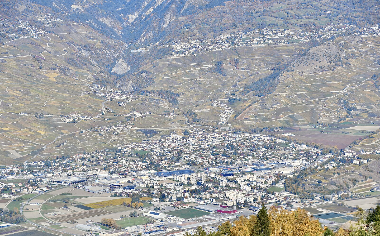
Živá webkamera



Otevřené vleky: 18%
Sněhová zpráva
- Posledních 24h: 0 cm
- Posledních 72h: 0 cm
- Posledních 7 dní: 0 cm
- Posledních 7 dní: Údolí 0cm · Střední část 0cm · Vrchol 0cm
- Sezónní úhrn: 0 cm
Lyžařská střediska otevřená právě teď · Sněhová zpráva
About Mayens de Conthey
A secluded cluster of sun-drenched chalets overlooking the Rhone Valley, prized for its rustic authenticity and vast vineyard vistas.
Highlights
- Rustic stone dwellings
- Panoramic vineyard views
- Off-grid tranquility
- Terraced mountain slopes
Key Facts
- Altitude: 1362m
- Top lift: 1439m
- Ski pistes: 1km
- Ski lifts: 1
- Lakes nearby: 17
- MTB trails: 32.4km
- Mountain huts: 22
Ski Area
Zahrnuto v těchto sezonních permanentkách
Weather and 10-day forecast for Mayens de Conthey
- Today: 10 to 18 °C, clear sky, 11 h of sunshine
- Freezing level today: about 4134 m (3770 to 4420 m)
| Day | Min / max | Sky | Precipitation | Sunshine |
|---|---|---|---|---|
| pá 25. 9. | 10 / 18 °C | clear sky | dry | 11 h sun |
| so 26. 9. | 13 / 19 °C | clear sky | dry | 12 h sun |
| ne 27. 9. | 13 / 24 °C | clear sky | dry | 12 h sun |
| po 28. 9. | 14 / 24 °C | clear sky | dry | 11 h sun |
| út 29. 9. | 14 / 25 °C | clear sky | dry | 10 h sun |
| st 30. 9. | 12 / 24 °C | clear sky | dry | 12 h sun |
| čt 1. 10. | 11 / 22 °C | partly cloudy | dry | 6 h sun |
| pá 2. 10. | 9 / 16 °C | drizzle | dry | 2 h sun |
| so 3. 10. | 7 / 17 °C | clear sky | dry | 11 h sun |
| ne 4. 10. | 8 / 14 °C | drizzle | dry | 11 h sun |
Things to do in Mayens de Conthey
Hikes nearby — Mayens de Conthey (20)
20+ curated hiking trails around Mayens de Conthey, sourced from OpenStreetMap and enriched with distance, elevation gain and difficulty.
-
Chemin Rhin-Reuss-Rhône
Étape 10 Sion - Saillon
-
02-Chemin du Vignoble
-
Sanetsch-Muveran-Weg
From the glacier-scoured limestone pavements of Tsanfleuron, the route drops steeply past the rocky shoulder of Sex Rouge into the protected valley of Derborence, home to one of Switzerland's last primeval mountain forests and a lake born from historic rockslides.
-
Via Alpina Red R104
The Via Alpina is a network of five long-distance hiking trails across the alpine regions of Slovenia, Austria, Germany, Liechtenstein, Switzerland, Italy, France, and Monaco. The longest of the trails is the Red Trail, whose termini are in Trieste and Monaco.
-
Bisse de la Tsandra
Two 15th-century irrigation channels — both fed by water from the Tsanfleuron Glacier near the Diablerets massif — guide walkers through the fields above Conthey, each bisse with its own distinct character. Along the second channel, information panels trace the centuries-old Valais tradition of hand-built suones that once carried glacier water to fields, orchards, and vineyards across the region.
-
Bisse de la Tsandra
Dva závlahové kanály z 15. století — oba napájené vodou z ledovce Tsanfleuron poblíž masivu Diablerets — vedou turisty přes pole nad Conthey, přičemž každý bisse má svůj vlastní nezaměnitelný charakter. Podél druhého kanálu informační tabule osvětlují staletou tradici Valais ručně budovaných suones, zatímco trasa se otevírá do širokých výhledů přes údolí.
-
Plan-Conthey - Vétroz
-
Magnot - fixme
-
Bisse de Savièse (Torrent-Neuf)
Built in the early 15th century to carry water from the Morge River, this ancient irrigation canal path leads hikers across four suspension bridges — each around 100 metres long — above steep drop-offs carved through the Valais hillside.
-
Bisse de Savièse (Torrent-Neuf)
Vybudovaný na počátku 15. století k přivádění vody z řeky Morge, tento starověký kanálový stezka pro zavlažování vyžaduje pevné nervy: trasa tam a zpět o délce přibližně 8 km překonává čtyři visutá lávky, každý přibližně 100 metrů dlouhý, vedoucí nad strmými srázy přes kopce nad Savièse.
-
Via Alpina Stage 76: Auberge du Godey - Anzeinde
-
Bisse de Bitailla
The Bisse de Bitailla, first documented in 1307, leads through the Vallo de la Sionne from the water intake at Les Évouettes to St-Romain, following a channel that runs alternately enclosed and open through the landscape via Saxonne. One of the few bisses in Valais to carry water year-round, the route follows the "Chemin des papillons" and the Tour du Gô markings along this ancient irrigation channel.
-
Tour de l'Argentine
-
06-Tour pédestre du Val d'Hérens
-
00-Tour pédestre du Val d'Hérens
-
Chemin du vignoble: Saillon Village - 5
-
Sanetsch-Muveran-Weg: 120494 - Derborence
-
Bisses de Lentine et de Mont d'Orge
-
Sanetsch-Muveran-Weg: Derborence - Ovronnaz
-
Tour de L’Argentine
Mountain biking near Mayens de Conthey
- DH sous cabine
- Route de la Combe d'Arbaz
- antenne
- Bisse de Saxon
Getting to Mayens de Conthey
Door-to-door travel times as used by the MR. ALPS ranking.
- Nearest airport: Bern Airport (BRN), 75 km away, about 2h16 by road
- Lausanne: 1h28 by car, 103 km
- Bern: 2h04 by car, 160 km
- Genève: 2h07 by car, 165 km
- Biel/Bienne: 2h32 by car, 199 km
- Annecy: 2h38 by car, 171 km
- Chambéry: 3h03 by car, 215 km
Where to stay in Mayens de Conthey
200 places to stay for a night on 2026-09-25, from 170 EUR per night, median 222 EUR. Prices are direct with hotels and destinations, compared live on the Mayens de Conthey page.