Ehrwald
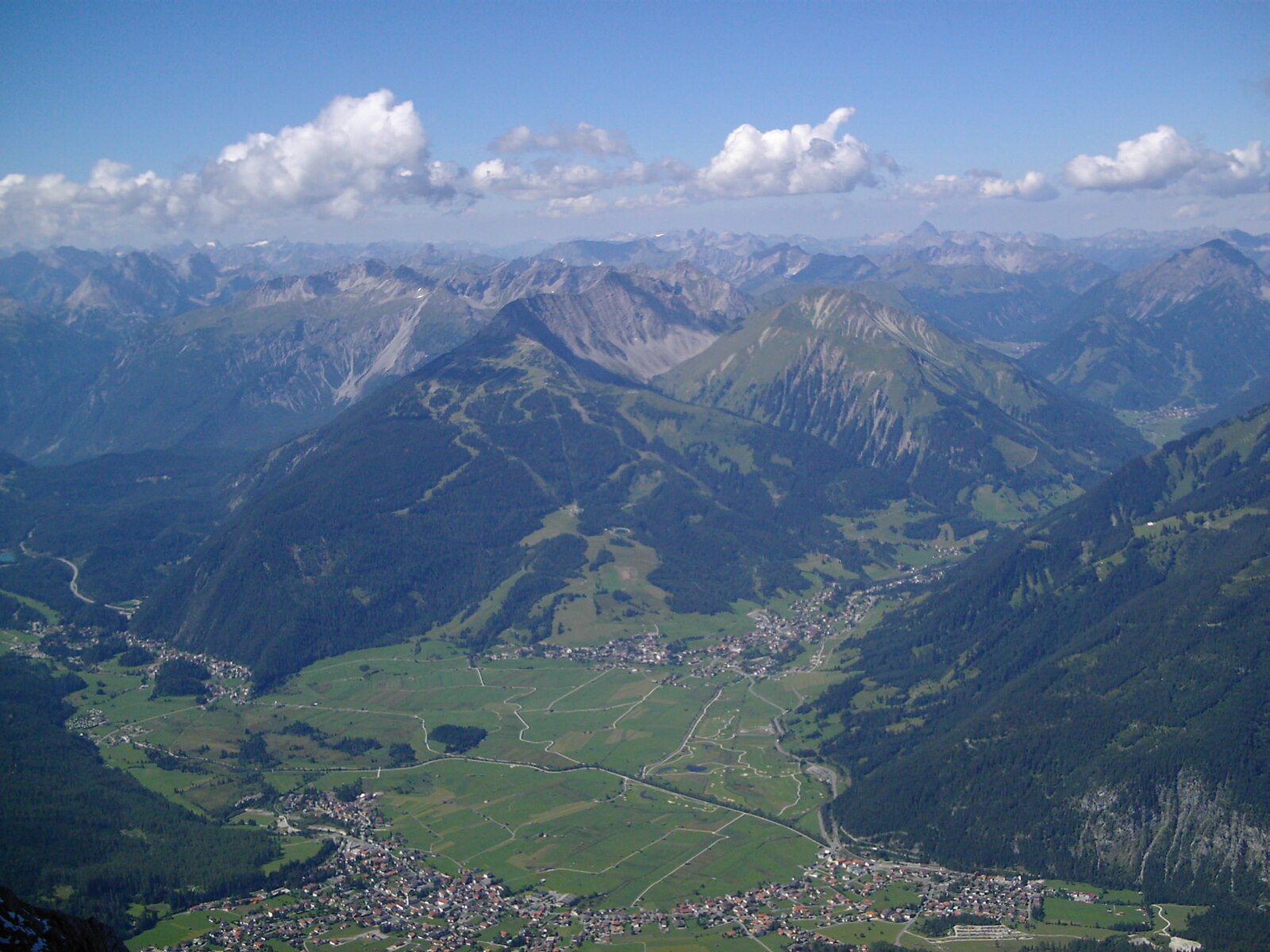
Webcam na żywo
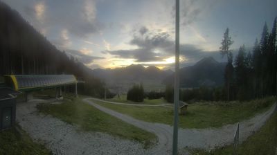
Otwarte wyciągi: 0/8
Raport śniegowy
- Ostatnie 24h: 0 cm
- Ostatnie 72h: 0 cm
- Ostatnie 7 dni: 0 cm
- Ostatnie 7 dni: Dolina 0cm · Środek stoku 0cm · Szczyt 0cm
- Suma sezonowa: 0 cm
Ośrodki narciarskie otwarte teraz · Raport śniegowy
About Ehrwald
A family-friendly hub nestled beneath the Zugspitze massif, blending traditional Tyrolean hospitality with easy mountain access.
Highlights
- High-altitude plateau
- Family-oriented slopes
- Zugspitze peak access
- Tyrolean charm
Key Facts
- Altitude: 1523m
- Top lift: 1923m
- Ski pistes: 27km
- Ski lifts: 7
- Population: 2,658
- Lakes nearby: 20
- MTB trails: 203.8km
- Mountain huts: 35
Ski Area
Karnety sezonowe obejmujące tę miejscowość
Weather and 10-day forecast for Ehrwald
- Today: 4 to 14 °C, clear sky, 10 h of sunshine
- Freezing level today: about 3573 m (2490 to 4080 m)
| Day | Min / max | Sky | Precipitation | Sunshine |
|---|---|---|---|---|
| pt., 25 wrz | 4 / 14 °C | clear sky | dry | 10 h sun |
| sob., 26 wrz | 7 / 18 °C | clear sky | dry | 12 h sun |
| niedz., 27 wrz | 7 / 20 °C | clear sky | dry | 12 h sun |
| pon., 28 wrz | 12 / 20 °C | clear sky | dry | 11 h sun |
| wt., 29 wrz | 12 / 21 °C | clear sky | dry | 8 h sun |
| śr., 30 wrz | 10 / 20 °C | overcast | dry | 1 h sun |
| czw., 1 paź | 9 / 20 °C | clear sky | dry | 11 h sun |
| pt., 2 paź | 6 / 15 °C | drizzle | 2 mm rain | 11 h sun |
| sob., 3 paź | 5 / 16 °C | drizzle | 6 mm rain | 11 h sun |
| niedz., 4 paź | 5 / 15 °C | drizzle | 1 mm rain | 11 h sun |
Things to do in Ehrwald
Hikes nearby — Ehrwald (14)
14 curated hiking trails around Ehrwald, sourced from OpenStreetMap and enriched with distance, elevation gain and difficulty.
-
AV Weg 801A (Ehrwald - Gaistal - Leutasch)
-
AV Weg 814 (Biberwier - Biberwierer Scharte - Coburger Hütte)
-
AV Weg 812 (Obsteig - Coburger Hütte - Ehrwald)
-
Via Alpina Red R46
Reintalangerhütte - Coburger Hütte
-
Via Alpina Red R47
Coburger Hütte - Wolfratshauser Hütte
-
AV Weg 801
Ehrwald - WN-Hütte - Zugspitze - Reintal - Scharnitz
-
Bayernsteig
-
Adlerweg Etappe 17
Ehrwald - Loreahütte
-
Adlerweg Etappe 16
Leutasch - Ehrwald
-
AV Weg 815 (Gaistal - Gatterl - Knorrhütte)
Trasa wspina się przez alpejskie łąki i zarośla kosodrzewiny, przecina zabezpieczony skalny przejście przy Gatterl i prowadzi turystów do Knorrhütte przed ostatnim podejściem na szczyt Zugspitze i jego słynny krzyż.
-
Ehrwalder Höhenweg
-
AV Weg 816 (Gaistalalm - Feldernjöchel)
-
Höllentalsteig
The Höllentalsteig is a via ferrata route beginning at the Höllentalangerhütte and climbing to the Zugspitze, the highest peak in Germany. It is rated hard and offers panoramic views along its point-to-point ascent.
-
Südwandsteig
The Südwandsteig traces the south side of the Wetterstein mountains along the base of vertical, menacing rock walls, passing seven mountain pastures through terrain that demands sure-footedness. Its southern exposure keeps it hikeable well into late fall, when the Gaistal valley takes on a Canadian-forest character and some mountain huts remain open for refreshment stops.
Mountain biking near Ehrwald
- Gaistal - Rotmoosalm
- Ehrwalder Alm-Seebensee (813)
- Blue Bird
- Fifty/Fifty
- Alplweg
- Ochsenbründlsteig
- Bare Knuckle
Getting to Ehrwald
Door-to-door travel times as used by the MR. ALPS ranking.
- Nearest airport: Innsbruck Airport (INN), 31 km away, about 1h23 by road
- Innsbruck: 1h12 by car, 81 km
- München: 1h32 by car, 114 km
- Bolzano - Bozen: 2h35 by car, 193 km
- Stuttgart: 3h02 by car, 258 km
- Trento: 3h06 by car, 249 km
- Nürnberg: 3h16 by car, 292 km
Where to stay in Ehrwald
200 places to stay for a night on 2026-09-25, from 364 EUR per night, median 548 EUR. Prices are direct with hotels and destinations, compared live on the Ehrwald page.