Ehrwald
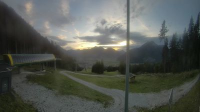
Live webcam
Open liften: 0/8
Sneeuwbericht
- Laatste 24 uur: 0 cm
- Laatste 72 uur: 0 cm
- Laatste 7 dagen: 0 cm
- Laatste 7 dagen: Dal 0cm · Middenstation 0cm · Top 0cm
- Seizoenstotaal: 0 cm
Skigebieden nu open · Sneeuwbericht
About Ehrwald
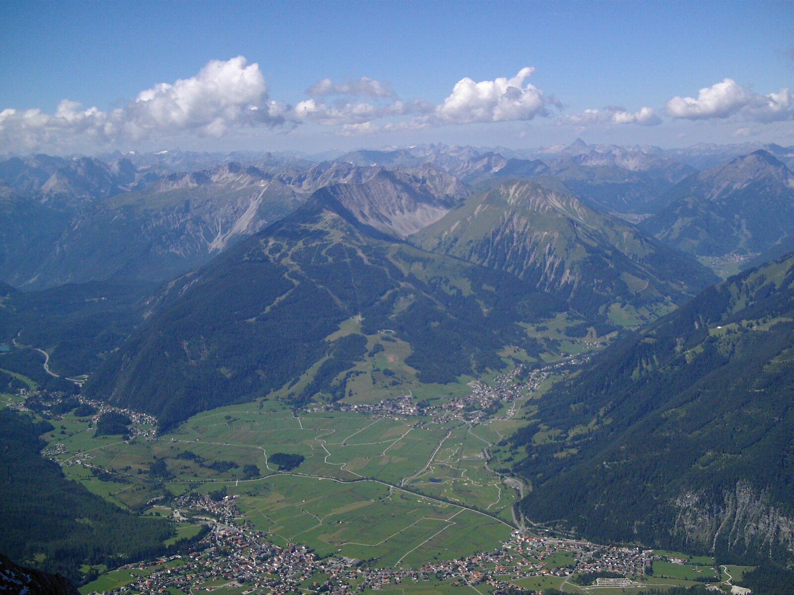
A family-friendly hub nestled beneath the Zugspitze massif, blending traditional Tyrolean hospitality with easy mountain access.
Highlights
- High-altitude plateau
- Family-oriented slopes
- Zugspitze peak access
- Tyrolean charm
Key Facts
- Altitude: 1523m
- Top lift: 1923m
- Ski pistes: 27km
- Ski lifts: 7
- Population: 2,658
- Lakes nearby: 20
- MTB trails: 153.4km
- Mountain huts: 35
Ski Area
Inbegrepen in deze seizoenpassen
Weather and 10-day forecast for Ehrwald
- Today: 6 to 17 °C, partly cloudy, 8 h of sunshine
- Freezing level today: about 4001 m (3530 to 4200 m)
| Day | Min / max | Sky | Precipitation | Sunshine |
|---|---|---|---|---|
| zo 20 sep | 6 / 17 °C | partly cloudy | dry | 8 h sun |
| ma 21 sep | 5 / 10 °C | overcast | dry | 2 h sun |
| di 22 sep | 2 / 11 °C | clear sky | dry | 12 h sun |
| wo 23 sep | 4 / 15 °C | clear sky | dry | 12 h sun |
| do 24 sep | 8 / 14 °C | clear sky | dry | 8 h sun |
| vr 25 sep | 7 / 18 °C | partly cloudy | dry | 7 h sun |
| za 26 sep | 5 / 19 °C | clear sky | dry | 12 h sun |
| zo 27 sep | 7 / 19 °C | overcast | dry | 1 h sun |
| ma 28 sep | 4 / 19 °C | clear sky | dry | 12 h sun |
| di 29 sep | 4 / 19 °C | clear sky | dry | 11 h sun |
Things to do in Ehrwald
Hikes nearby — Ehrwald (14)
14 curated hiking trails around Ehrwald, sourced from OpenStreetMap and enriched with distance, elevation gain and difficulty.
-
AV Weg 801A (Ehrwald - Gaistal - Leutasch)
-
AV Weg 814 (Biberwier - Biberwierer Scharte - Coburger Hütte)
-
AV Weg 812 (Obsteig - Coburger Hütte - Ehrwald)
-
Via Alpina Red R46
Reintalangerhütte - Coburger Hütte
-
Via Alpina Red R47
Coburger Hütte - Wolfratshauser Hütte
-
AV Weg 801
Ehrwald - WN-Hütte - Zugspitze - Reintal - Scharnitz
-
Bayernsteig
-
Adlerweg Etappe 17
Ehrwald - Loreahütte
-
Adlerweg Etappe 16
Leutasch - Ehrwald
-
AV Weg 815 (Gaistal - Gatterl - Knorrhütte)
De route klimt door alpiene weiden en dwergdennenbestanden, steekt de beveiligde rotspassage bij de Gatterl over en brengt wandelaars naar de Knorrhütte voor de laatste klim naar de top van de Zugspitze en zijn beroemde kruis.
-
Ehrwalder Höhenweg
-
AV Weg 816 (Gaistalalm - Feldernjöchel)
-
Höllentalsteig
The Höllentalsteig is a via ferrata route beginning at the Höllentalangerhütte and climbing to the Zugspitze, the highest peak in Germany. It is rated hard and offers panoramic views along its point-to-point ascent.
-
Südwandsteig
The Südwandsteig traces the south side of the Wetterstein mountains along the base of vertical, menacing rock walls, passing seven mountain pastures through terrain that demands sure-footedness. Its southern exposure keeps it hikeable well into late fall, when the Gaistal valley takes on a Canadian-forest character and some mountain huts remain open for refreshment stops.
Mountain biking near Ehrwald
- Gaistal - Rotmoosalm
- Ehrwalder Alm-Seebensee (813)
- Blue Bird
- Fifty/Fifty
- Bare Knuckle
- Alplweg
- Ochsenbründlsteig
Getting to Ehrwald
Door-to-door travel times as used by the MR. ALPS ranking.
- Nearest airport: Innsbruck Airport (INN), 31 km away, about 1h23 by road
- Innsbruck: 1h12 by car, 81 km
- München: 1h32 by car, 114 km
- Bolzano - Bozen: 2h35 by car, 193 km
- Stuttgart: 3h02 by car, 258 km
- Trento: 3h06 by car, 249 km
- Nürnberg: 3h16 by car, 292 km
Where to stay in Ehrwald
200 places to stay for a night on 2026-09-25, from 219 EUR per night, median 413 EUR. Prices are direct with hotels and destinations, compared live on the Ehrwald page.