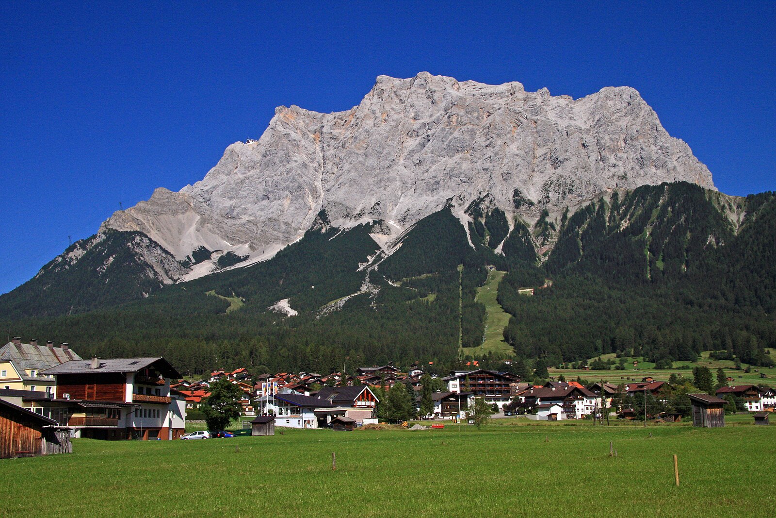
Zugspitze
Live webcam
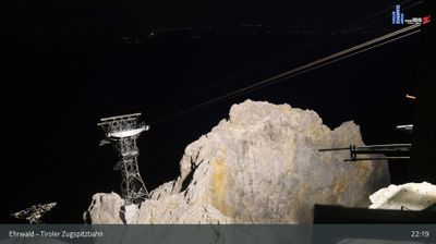
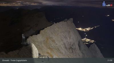
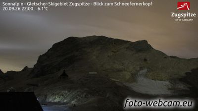
Open liften: 0/8
Sneeuwbericht
- Laatste 24 uur: 0 cm
- Laatste 72 uur: 0 cm
- Laatste 7 dagen: 0 cm
- Laatste 7 dagen: Dal 0cm · Middenstation 0cm · Top 0cm
- Seizoenstotaal: 0 cm
Skigebieden nu open · Sneeuwbericht
About Zugspitze
Germany’s highest peak offers a dramatic limestone landscape where modern engineering meets traditional Bavarian mountain culture.
Highlights
- Glacier plateau skiing
- High-speed cable cars
- Panoramic summit views
- Traditional mountain huts
Key Facts
- Altitude: 2000m
- Top lift: 2720m
- Ski pistes: 20km
- Ski lifts: 10
- Lakes nearby: 17
- MTB trails: 162.7km
- Mountain huts: 33
Ski Area
Weather and 10-day forecast for Zugspitze
- Today: 6 to 12 °C, partly cloudy, 8 h of sunshine
- Freezing level today: about 3986 m (3420 to 4190 m)
| Day | Min / max | Sky | Precipitation | Sunshine |
|---|---|---|---|---|
| zo 20 sep | 6 / 12 °C | partly cloudy | dry | 8 h sun |
| ma 21 sep | 2 / 6 °C | overcast | dry | 2 h sun |
| di 22 sep | 1 / 6 °C | clear sky | dry | 12 h sun |
| wo 23 sep | 0 / 11 °C | clear sky | dry | 12 h sun |
| do 24 sep | 4 / 10 °C | clear sky | dry | 8 h sun |
| vr 25 sep | 3 / 14 °C | partly cloudy | dry | 7 h sun |
| za 26 sep | 0 / 15 °C | clear sky | dry | 12 h sun |
| zo 27 sep | 3 / 15 °C | overcast | dry | 1 h sun |
| ma 28 sep | 1 / 17 °C | clear sky | dry | 12 h sun |
| di 29 sep | 1 / 15 °C | clear sky | dry | 11 h sun |
Things to do in Zugspitze
Hikes nearby — Zugspitze (15)
15 curated hiking trails around Zugspitze, sourced from OpenStreetMap and enriched with distance, elevation gain and difficulty.
-
AV Weg 801A (Ehrwald - Gaistal - Leutasch)
-
Via Alpina Red R46
Reintalangerhütte - Coburger Hütte
-
Via Alpina Red R45
Meilerhütte - Reintalangerhütte
-
Bayernsteig
-
AV Weg 801
Ehrwald - WN-Hütte - Zugspitze - Reintal - Scharnitz
-
Adlerweg Etappe 16
Leutasch - Ehrwald
-
Höllentalsteig
The Höllentalsteig is a via ferrata route beginning at the Höllentalangerhütte and climbing to the Zugspitze, the highest peak in Germany. It is rated hard and offers panoramic views along its point-to-point ascent.
-
Ehrwalder Höhenweg
-
Matheisenkar
-
AV Weg 815 (Gaistal - Gatterl - Knorrhütte)
De route klimt door alpiene weiden en dwergdennenbestanden, steekt de beveiligde rotspassage bij de Gatterl over en brengt wandelaars naar de Knorrhütte voor de laatste klim naar de top van de Zugspitze en zijn beroemde kruis.
-
Höhenweg Höllental Eibsee
-
Eibsee Rundwanderweg
-
AV Weg 831A (Höllental)
-
AV Weg 816 (Gaistalalm - Feldernjöchel)
-
Via Alpina Purple A60
Garmisch-Partenkirchen - Linderhof
Mountain biking near Zugspitze
- Rund um die Thörlen
- Gaistal - Rotmoosalm
- Höhenweg Ehrwald
- Thörle-Eibsee
- Fifty/Fifty
- Blue Bird
- Gelbes Gwänd Steig
- Alplweg
Getting to Zugspitze
Door-to-door travel times as used by the MR. ALPS ranking.
- Nearest airport: Innsbruck Airport (INN), 32 km away, about 1h24 by road
- Innsbruck: 1h44 by car, 85 km
- München: 2h02 by car, 116 km
- Bolzano - Bozen: 3h08 by car, 197 km
- Stuttgart: 3h32 by car, 260 km
- Trento: 3h39 by car, 252 km
- Nürnberg: 3h47 by car, 293 km
Where to stay in Zugspitze
200 places to stay for a night on 2026-09-25, from 206 EUR per night, median 353 EUR. Prices are direct with hotels and destinations, compared live on the Zugspitze page.