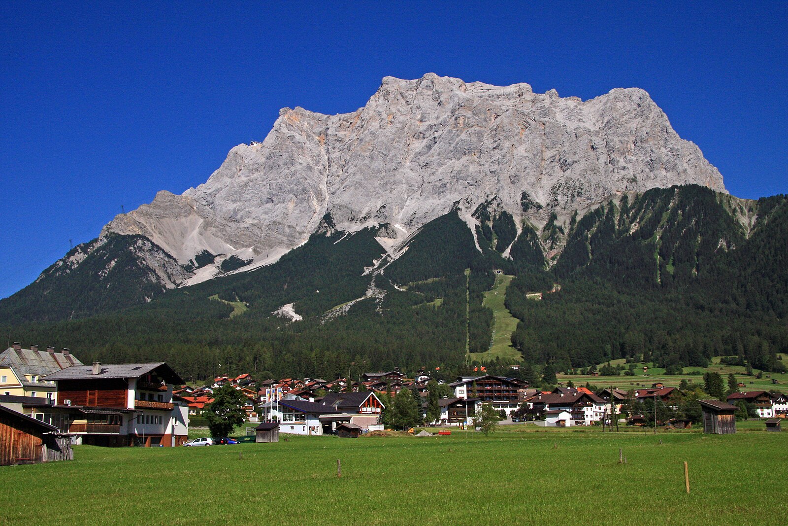
Zugspitze
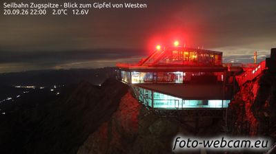
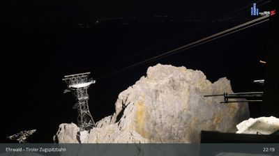
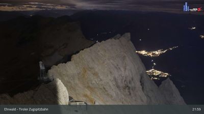
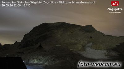
Webcam en directo
Remontes abiertos: 0/8
Parte de nieve
- Últimas 24h: 0 cm
- Últimas 72h: 0 cm
- Últimos 7 días: 0 cm
- Últimos 7 días: Valle 0cm · Media montaña 0cm · Cumbre 0cm
- Acumulado de temporada: 0 cm
Estaciones de esquí abiertas ahora · Parte de nieve
About Zugspitze
Germany’s highest peak offers a dramatic limestone landscape where modern engineering meets traditional Bavarian mountain culture.
Highlights
- Glacier plateau skiing
- High-speed cable cars
- Panoramic summit views
- Traditional mountain huts
Key Facts
- Altitude: 2000m
- Top lift: 2720m
- Ski pistes: 20km
- Ski lifts: 10
- Lakes nearby: 17
- MTB trails: 222km
- Mountain huts: 33
Ski Area
Weather and 10-day forecast for Zugspitze
- Today: -3 to 2 °C, rain showers, 1 h of sunshine
- Freezing level today: about 2855 m (2410 to 3220 m)
| Day | Min / max | Sky | Precipitation | Sunshine |
|---|---|---|---|---|
| jue, 24 sept | -3 / 2 °C | rain showers | 1 mm rain | 1 h sun |
| vie, 25 sept | -3 / 4 °C | clear sky | dry | 12 h sun |
| sáb, 26 sept | 1 / 9 °C | partly cloudy | dry | 7 h sun |
| dom, 27 sept | 1 / 11 °C | clear sky | dry | 12 h sun |
| lun, 28 sept | 4 / 12 °C | clear sky | dry | 11 h sun |
| mar, 29 sept | 0 / 13 °C | clear sky | dry | 11 h sun |
| mié, 30 sept | 0 / 13 °C | clear sky | dry | 11 h sun |
| jue, 1 oct | -1 / 10 °C | mainly clear | dry | 11 h sun |
| vie, 2 oct | -4 / 5 °C | drizzle | 1 mm rain | 11 h sun |
| sáb, 3 oct | -4 / 5 °C | drizzle | 5 mm rain | 11 h sun |
Things to do in Zugspitze
Hikes nearby — Zugspitze (15)
15 curated hiking trails around Zugspitze, sourced from OpenStreetMap and enriched with distance, elevation gain and difficulty.
-
AV Weg 801A (Ehrwald - Gaistal - Leutasch)
-
Via Alpina Red R46
Reintalangerhütte - Coburger Hütte
-
Via Alpina Red R45
Meilerhütte - Reintalangerhütte
-
Bayernsteig
-
AV Weg 801
Ehrwald - WN-Hütte - Zugspitze - Reintal - Scharnitz
-
Adlerweg Etappe 16
Leutasch - Ehrwald
-
Höllentalsteig
The Höllentalsteig is a via ferrata route beginning at the Höllentalangerhütte and climbing to the Zugspitze, the highest peak in Germany. It is rated hard and offers panoramic views along its point-to-point ascent.
-
Ehrwalder Höhenweg
-
Matheisenkar
-
AV Weg 815 (Gaistal - Gatterl - Knorrhütte)
La ruta asciende a través de prados alpinos y rodales de pino enano, cruza el paso rocoso asegurado en el Gatterl y lleva a los senderistas a la Knorrhütte antes del empuje final hacia la cima de la Zugspitze y su famosa cruz.
-
Höhenweg Höllental Eibsee
-
Eibsee Rundwanderweg
-
AV Weg 831A (Höllental)
-
AV Weg 816 (Gaistalalm - Feldernjöchel)
-
Via Alpina Purple A60
Garmisch-Partenkirchen - Linderhof
Mountain biking near Zugspitze
- Rund um die Thörlen
- Gaistal - Rotmoosalm
- Höhenweg Ehrwald
- Thörle-Eibsee
- Gelbes Gwänd Steig
- Fifty/Fifty
- Alplweg
- Blue Bird
Getting to Zugspitze
Door-to-door travel times as used by the MR. ALPS ranking.
- Nearest airport: Innsbruck Airport (INN), 32 km away, about 1h24 by road
- Innsbruck: 1h44 by car, 85 km
- München: 2h02 by car, 116 km
- Bolzano - Bozen: 3h08 by car, 197 km
- Stuttgart: 3h32 by car, 260 km
- Trento: 3h39 by car, 252 km
- Nürnberg: 3h47 by car, 293 km
Where to stay in Zugspitze
200 places to stay for a night on 2026-09-25, from 174 EUR per night, median 502 EUR. Prices are direct with hotels and destinations, compared live on the Zugspitze page.