Tschierv
Live webcam
Open liften: 0/4
Sneeuwbericht
- Laatste 24 uur: 0 cm
- Laatste 72 uur: 0 cm
- Laatste 7 dagen: 0 cm
- Laatste 7 dagen: Dal 0cm · Middenstation 0cm · Top 0cm
- Seizoenstotaal: 12 cm
Skigebieden nu open · Sneeuwbericht
About Tschierv
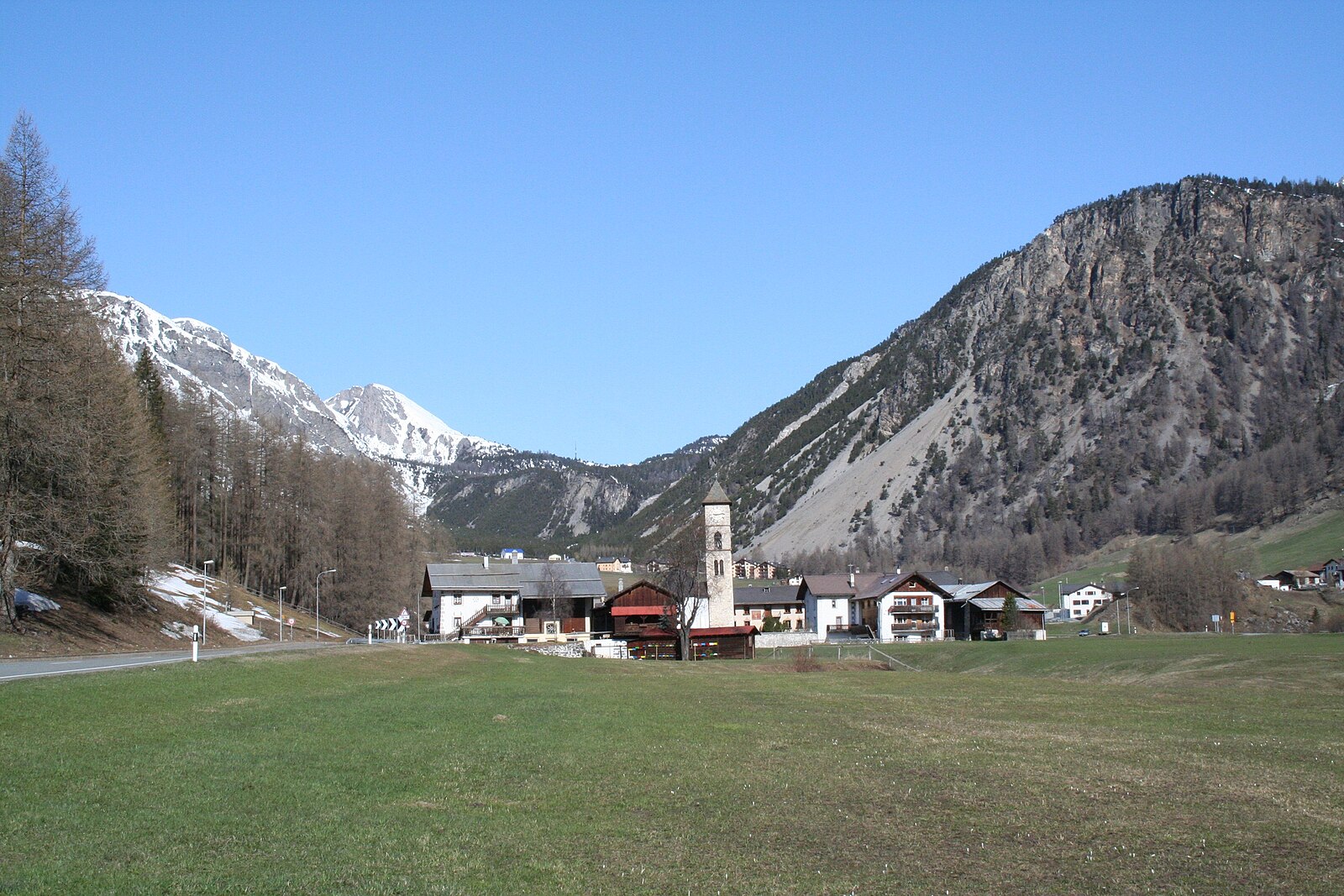
A quiet Romansh enclave serving as the wild gateway to the Swiss National Park, where ancient stone houses meet rugged mountain solitude.
Highlights
- Romansh heritage
- National Park gateway
- Cross-country trails
- Traditional stone architecture
Key Facts
- Altitude: 1670m
- Top lift: 2662m
- Ski pistes: 25km
- Ski lifts: 4
- Population: 167
- Lakes nearby: 11
- MTB trails: 142.4km
- Mountain huts: 6
Ski Area
Inbegrepen in deze seizoenpassen
Weather and 10-day forecast for Tschierv
- Today: 6 to 17 °C, partly cloudy, 8 h of sunshine
- Freezing level today: about 4148 m (4020 to 4260 m)
| Day | Min / max | Sky | Precipitation | Sunshine |
|---|---|---|---|---|
| zo 20 sep | 6 / 17 °C | partly cloudy | dry | 8 h sun |
| ma 21 sep | 4 / 14 °C | partly cloudy | dry | 7 h sun |
| di 22 sep | 3 / 11 °C | partly cloudy | dry | 6 h sun |
| wo 23 sep | 4 / 15 °C | clear sky | dry | 11 h sun |
| do 24 sep | 1 / 6 °C | rain showers | dry | 4 h sun |
| vr 25 sep | 1 / 8 °C | partly cloudy | dry | 7 h sun |
| za 26 sep | 0 / 14 °C | clear sky | dry | 12 h sun |
| zo 27 sep | 3 / 16 °C | partly cloudy | dry | 6 h sun |
| ma 28 sep | 3 / 15 °C | partly cloudy | dry | 7 h sun |
| di 29 sep | 2 / 15 °C | clear sky | dry | 12 h sun |
Things to do in Tschierv
Hikes nearby — Tschierv (20)
20+ curated hiking trails around Tschierv, sourced from OpenStreetMap and enriched with distance, elevation gain and difficulty.
-
Via son Giachen
-
Via son Giachen
-
Nationalpark Panoramaweg
-
Pass dal Fuorn - Süsom Tschierv
-
Senda Val Müstair
The trail begins in forest before opening onto a grassy plateau, continuing on to Alp da Munt on its point-to-point route from the Oven Pass (Ofenpass) to Lü, entirely within the Biosfera Val Müstair.
-
Fuldera - Runca
-
Riva dal Rom
The trail follows the Rom, the wild main river of Val Müstair, winding through a river landscape of floodplains, gravel banks, and flower meadows from the river's source all the way to Müstair. Information boards and a brochure along the way illuminate the river's history, its distinctive habitats, and local legends surrounding the Rombach.
-
Nationalpark Wanderroute 16 (Fuorntal)
-
Nationalpark Wanderroute 15 (Munt la Schera)
-
Nationalpark Panoramaweg
-
Nationalpark Panoramaweg
-
Senda Trafögl
-
Val Mora - Grenze (- San Giacomo di Fraele)
-
Dorfrundweg
-
Nationalpark Wanderroute 14 (Punt la Drossa - Il Fuorn)
-
Nationalpark-Panoramaweg: S-charl - Pass dal Fuorn
-
Jakobsweg Graubünden: Lü - S-charl
-
Jakobsweg Graubünden: Müstair Claustra Parkplatz - Lü
-
A la riva dal Rom
-
Nationalpark-Panoramaweg: Pass dal Fuorn - Il Fuorn
Mountain biking near Tschierv
- Via Alp Champatsch
- Via Jufplaun
- Via da Tamangur
Getting to Tschierv
Door-to-door travel times as used by the MR. ALPS ranking.
- Nearest airport: Innsbruck Airport (INN), 103 km away, about 2h33 by road
- Bolzano - Bozen: 1h58 by car, 112 km
- Trento: 2h27 by car, 162 km
- Innsbruck: 2h29 by car, 168 km
- Zürich: 2h52 by car, 204 km
- Luzern: 3h12 by car, 227 km
- Verona: 3h25 by car, 258 km
Where to stay in Tschierv
26 places to stay for a night on 2026-09-25, from 178 EUR per night, median 214 EUR. Prices are direct with hotels and destinations, compared live on the Tschierv page.