Tschierv
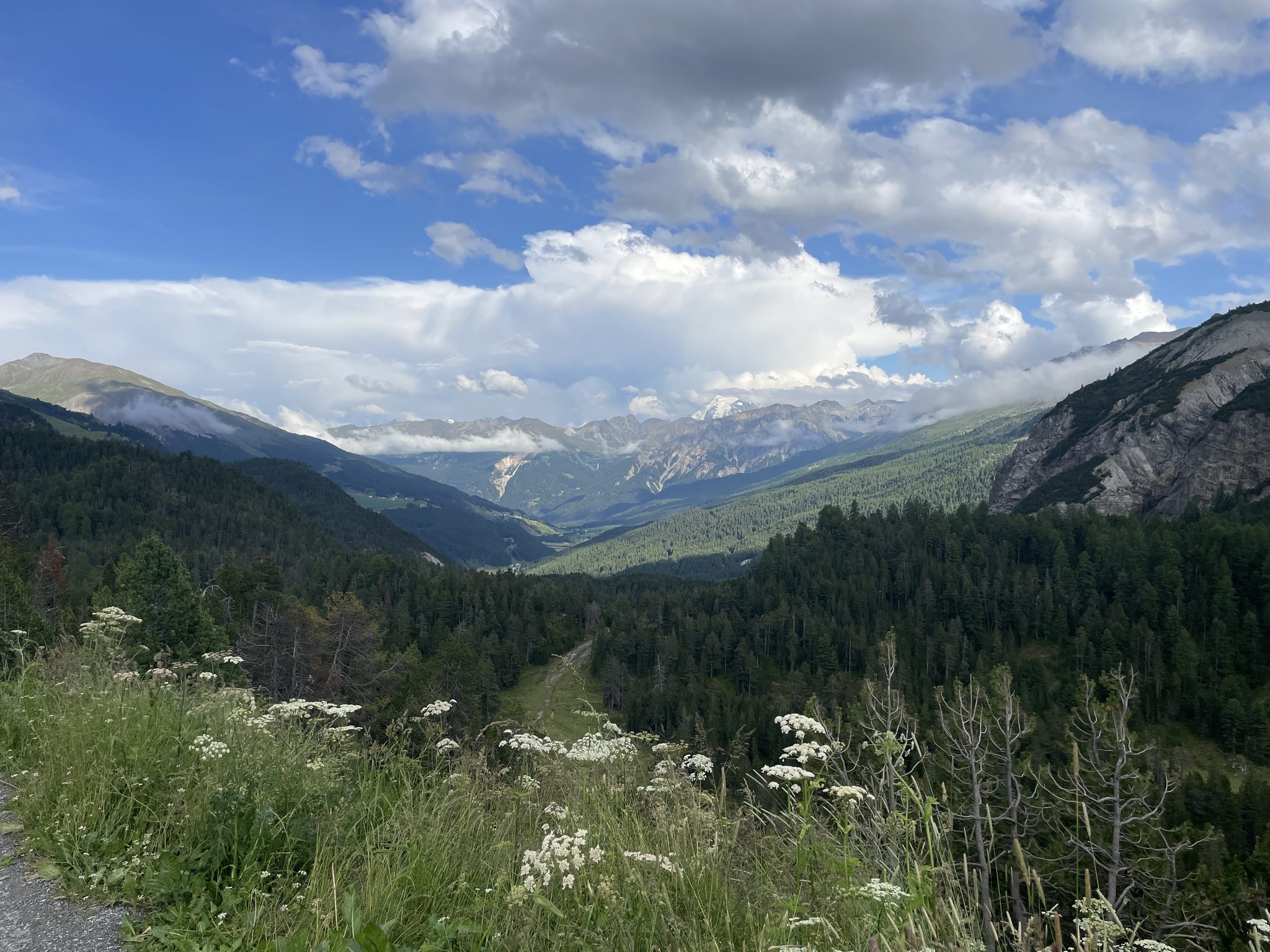
Webcam en direct
Remontées ouvertes: 0/4
Bulletin d'enneigement
- Dernières 24h (2166 m): 3 cm
- Dernières 72h (2166 m): 7 cm
- 7 derniers jours: Sommet (2662 m) 19cm · Mi-montagne (2166 m) 16cm · Vallée (1670 m) 8cm
- Cumul de saison (2166 m): 63 cm
Domaines skiables ouverts maintenant · Bulletin d'enneigement
About Tschierv
A quiet Romansh enclave serving as the wild gateway to the Swiss National Park, where ancient stone houses meet rugged mountain solitude.
Highlights
- Romansh heritage
- National Park gateway
- Cross-country trails
- Traditional stone architecture
Key Facts
- Altitude: 1670m
- Top lift: 2662m
- Ski pistes: 19.2km
- Ski lifts: 4
- Population: 167
- Lakes nearby: 11
- MTB trails: 211.1km
- Mountain huts: 6
Ski Area
Inclus dans ces forfaits saison
Weather and 10-day forecast for Tschierv
- Today: -7 to -1 °C, snow, 0 h of sunshine
- Freezing level today: about 1965 m (1730 to 2110 m)
- Snowfall in the last 7 days: 17 cm
| Day | Min / max | Sky | Precipitation | Sunshine |
|---|---|---|---|---|
| dim. 22 nov. | -7 / -1 °C | snow | 3 cm snow | 0 h sun |
| lun. 23 nov. | -7 / -4 °C | snow showers | 2 cm snow | 1 h sun |
| mar. 24 nov. | -10 / -2 °C | overcast | 0 cm snow | 2 h sun |
| mer. 25 nov. | -7 / -3 °C | snow | 4 cm snow | 0 h sun |
| jeu. 26 nov. | -9 / -3 °C | mainly clear | 3 cm snow | 4 h sun |
| ven. 27 nov. | -15 / -5 °C | mainly clear | dry | 6 h sun |
| sam. 28 nov. | -15 / 1 °C | mainly clear | dry | 7 h sun |
| dim. 29 nov. | -17 / -2 °C | overcast | dry | 6 h sun |
| lun. 30 nov. | -21 / -3 °C | fog | dry | 8 h sun |
| mar. 1 déc. | -18 / -3 °C | snow | 1 cm snow | 6 h sun |
Things to do in Tschierv
Hikes nearby - Tschierv (20)
20+ curated hiking trails around Tschierv, sourced from OpenStreetMap and enriched with distance, elevation gain and difficulty.
-
Via son Giachen
-
Via son Giachen
-
Nationalpark Panoramaweg
-
Pass dal Fuorn - Süsom Tschierv
-
Senda Val Müstair
Le sentier commence en forêt avant de s'ouvrir sur un plateau herbeux, pour continuer jusqu'à l'Alp da Munt sur son itinéraire point à point du col de l'Oven (Ofenpass) à Lü, entièrement dans la Biosfera Val Müstair.
-
Fuldera - Runca
-
Riva dal Rom
The trail follows the Rom, the wild main river of Val Müstair, winding through a river landscape of floodplains, gravel banks, and flower meadows from the river's source all the way to Müstair. Information boards and a brochure along the way illuminate the river's history, its distinctive habitats, and local legends surrounding the Rombach.
-
Nationalpark Wanderroute 16 (Fuorntal)
-
Nationalpark Wanderroute 15 (Munt la Schera)
-
Nationalpark Panoramaweg
-
Nationalpark Panoramaweg
-
Senda Trafögl
-
Val Mora - Grenze (- San Giacomo di Fraele)
-
Dorfrundweg
-
Nationalpark Wanderroute 14 (Punt la Drossa - Il Fuorn)
-
Nationalpark-Panoramaweg: S-charl - Pass dal Fuorn
-
Jakobsweg Graubünden: Lü - S-charl
-
Jakobsweg Graubünden: Müstair Claustra Parkplatz - Lü
-
A la riva dal Rom
-
Nationalpark-Panoramaweg: Pass dal Fuorn - Il Fuorn
VTT près de Tschierv
- Via da Tamangur
- Via Alp Champatsch
- Via Jufplaun
Getting to Tschierv
Door-to-door travel times as used by the MR. ALPS ranking.
- Nearest airport: Innsbruck Airport (INN), 103 km away, about 2h33 by road
- Bolzano - Bozen: 1h58 by car, 112 km
- Trento: 2h27 by car, 162 km
- Innsbruck: 2h29 by car, 168 km
- Zürich: 2h52 by car, 204 km
- Luzern: 3h12 by car, 227 km
- Verona: 3h25 by car, 258 km