Thyon
Live webcam




Open liften: 0/68
Sneeuwbericht
- Laatste 24 uur: 0 cm
- Laatste 72 uur: 0 cm
- Laatste 7 dagen: 0 cm
- Laatste 7 dagen: Dal 0cm · Middenstation 0cm · Top 0cm
- Seizoenstotaal: 13.2 cm
Skigebieden nu open · Sneeuwbericht
About Thyon
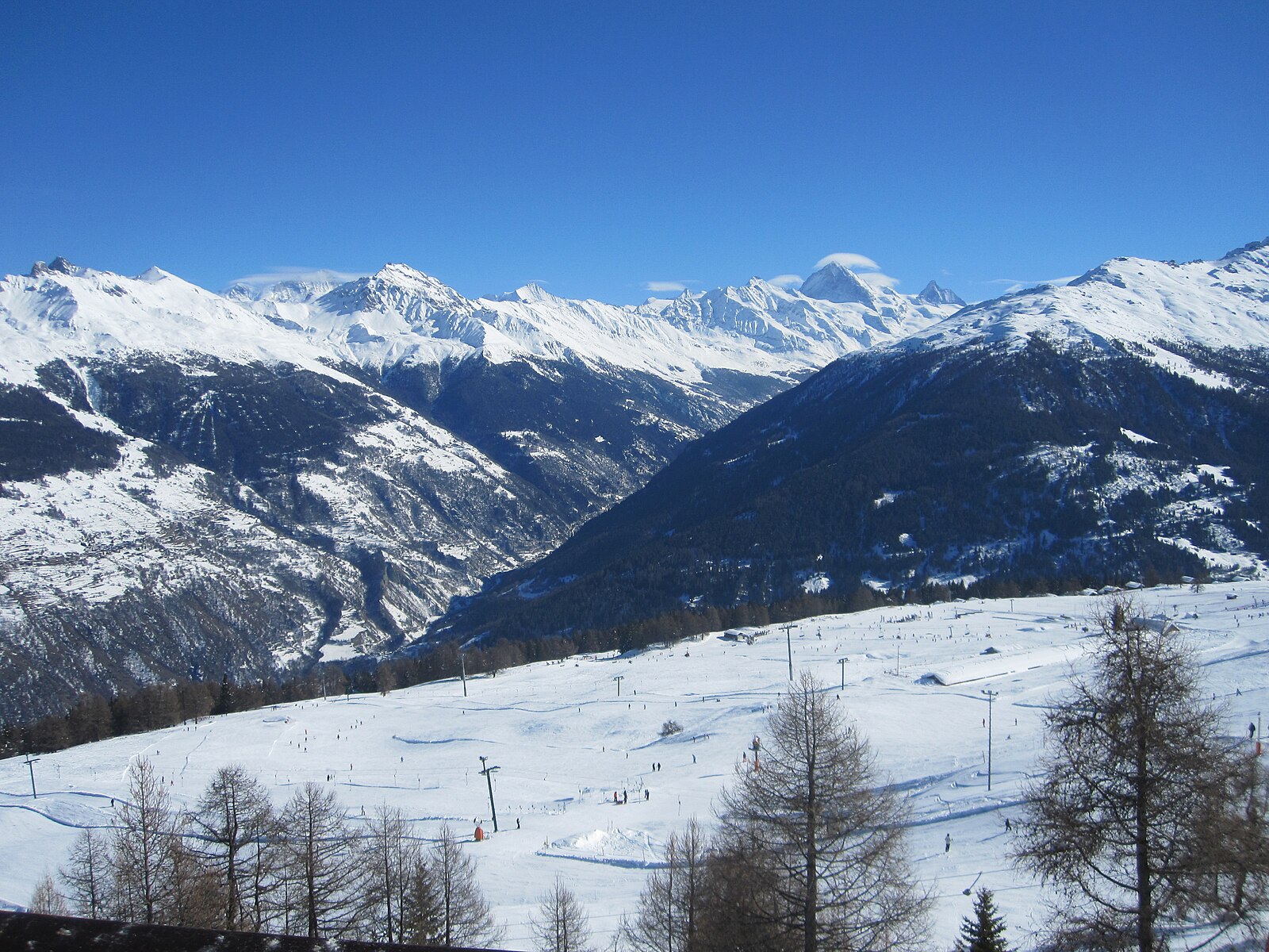
A high-altitude base at 2,090m within the Val d’Hérens, this authentic settlement provides direct access to the 4 Vallées network. During the shoulder season, the 225km of pistes are notably quiet, offering high-elevation terrain and vertical drops of 1,218m via the Epic Pass.
Highlights
- Vast plateau views
- Ski-in ski-out access
- Quiet family atmosphere
- Endless sunny slopes
Key Facts
- Altitude: 2090m
- Top lift: 2652m
- Ski pistes: 225km
- Ski lifts: 67
- Population: 63
- Lakes nearby: 19
- MTB trails: 0.1km
- Mountain huts: 15
Ski Area
Inbegrepen in deze seizoenpassen
Weather and 10-day forecast for Thyon
- Today: 6 to 14 °C, clear sky, 10 h of sunshine
- Freezing level today: about 4187 m (3910 to 4300 m)
| Day | Min / max | Sky | Precipitation | Sunshine |
|---|---|---|---|---|
| zo 20 sep | 6 / 14 °C | clear sky | dry | 10 h sun |
| ma 21 sep | 6 / 13 °C | overcast | dry | 1 h sun |
| di 22 sep | 6 / 14 °C | clear sky | dry | 12 h sun |
| wo 23 sep | 7 / 14 °C | clear sky | dry | 12 h sun |
| do 24 sep | 6 / 13 °C | partly cloudy | dry | 8 h sun |
| vr 25 sep | 8 / 14 °C | partly cloudy | dry | 7 h sun |
| za 26 sep | 7 / 14 °C | clear sky | dry | 12 h sun |
| zo 27 sep | 8 / 14 °C | rain showers | dry | 2 h sun |
| ma 28 sep | 5 / 16 °C | clear sky | dry | 12 h sun |
| di 29 sep | 7 / 15 °C | clear sky | dry | 12 h sun |
Things to do in Thyon
Hikes nearby — Thyon (20)
20+ curated hiking trails around Thyon, sourced from OpenStreetMap and enriched with distance, elevation gain and difficulty.
-
00-Tour pédestre du Val d'Hérens
The route descends from the Cabane des Becs de Bosson at 2985 m — renovated in 2012 and perched below the 3149 m summit with panoramic views of Valais 4000-metre peaks — through the wild and remote Vallon de Réchy. It finishes at Nax, known as the "Balcony of the Sky" for its elevated position.
-
01-Tour pédestre du Val d'Hérens
From alpine pastures and a 13,000-year-old raised bog — the Gouilles d'Essertze, where information panels describe local fauna — the route builds toward the Grande Dixence dam: at 285 metres high and 15 million tonnes, the world's tallest gravity dam, holding 400 billion litres of water in Switzerland's largest reservoir. The entire stage unfolds above 2,000 m, with views across the Val d'Hérémence to glacier-covered peaks of the Valais Alps.
-
03-Chemin des Bisses
-
Mayens-de-Sion ouest - Planchouet
markierter Wanderweg
-
04-Chemin des Bisses
The fifth segment of the Chemin des Bisses runs from St-Martin to Nax, tracing the course of ancient irrigation canals through a landscape of mixed forests, spectacular mountain peaks, and the constant murmur of water channelled through centuries-old bisses. These ingenious waterways, built by Valais farmers to carry water to their fields, thread through a varied flora and carry with them a deep layer of regional history.
-
06-Tour pédestre du Val d'Hérens
-
Chemin du Grand Bisse de Vex
A historic irrigation channel — the "bisse" — runs beside you through dense larch and spruce forest, its quiet broken only by sudden open views across the wide valley floor to the mountain world beyond. Tiny glades and secluded picnic spots punctuate the mostly wide path through this idyllic region above the valley.
-
Euseigne - fixme
markierter Wanderweg
-
Euseigne - Hérémence
markierter Wanderweg
-
Euseigne - fixme
markierter Wanderweg
-
03-Chemin du Vignoble
-
Bisse de Savièse (Torrent-Neuf)
-
Bisse de Savièse (Torrent-Neuf)
Gebouwd aan het begin van de 15e eeuw om water van de rivier de Morge te transporteren, vereist dit oude irrigatiekanaalpad stevige zenuwen: de heen-en-terugRoute van ongeveer 8 km kruist vier hangbruggen, elk ongeveer 100 meter lang, die boven steile afgronden door de heuvels boven Savièse slingeren.
-
Bisse de la Tsandra
-
Bisse de la Tsandra
Twee vijftiende-eeuwse irrigatiekanalen — beide gevoed door water van de Tsanfleuron-gletsjer nabij het Diablerets-massief — leiden wandelaars door de velden boven Conthey, waarbij elke bisse zijn eigen onderscheidend karakter heeft. Langs het tweede kanaal belichten informatiepanelen de eeuwenoude Valais-traditie van met de hand gebouwde suones, terwijl de route uitkomt op brede vergezichten over het dal.
-
Chemin des Bisses: Veysonnaz - Saint-Martin
-
Chemin d’Ossona
-
Chemin des Bisses: 40 - Veysonnaz
-
Bisses de Lentine et de Mont d'Orge
-
Chemin des Bisses: Saint-Martin - Nax
Mountain biking near Thyon
- Chemin la Planie
- Chemin de Vendes
Getting to Thyon
Door-to-door travel times as used by the MR. ALPS ranking.
- Nearest airport: Geneva International Airport (GVA), 97 km away, about 2h20 by road
- Lausanne: 1h57 by car, 119 km
- Bern: 2h33 by car, 176 km
- Genève: 2h36 by car, 181 km
- Biel/Bienne: 3h01 by car, 215 km
- Annecy: 3h07 by car, 187 km
- Chambéry: 3h32 by car, 231 km
Where to stay in Thyon
200 places to stay for a night on 2026-09-25, from 134 EUR per night, median 221 EUR. Prices are direct with hotels and destinations, compared live on the Thyon page.