Thyon
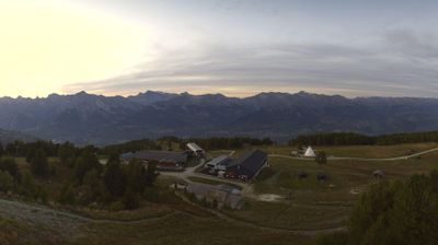
ライブカメラ




営業中のリフト: 0/68
積雪情報
- 過去24時間: 0 cm
- 過去72時間: 0 cm
- 過去7日間: 0 cm
- 過去7日間: 山麓 0cm · 中腹 0cm · 山頂 0cm
- シーズン累計: 13.2 cm
About Thyon
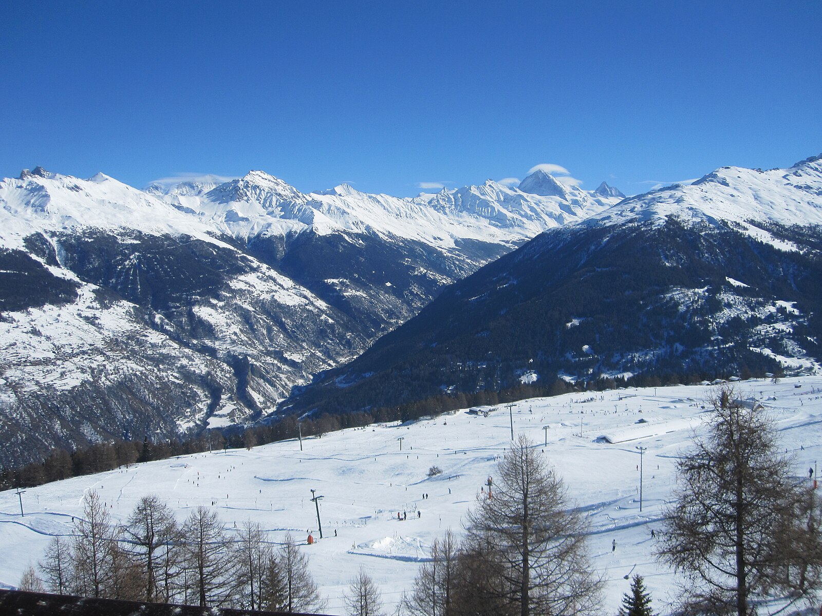
A high-altitude base at 2,090m within the Val d’Hérens, this authentic settlement provides direct access to the 4 Vallées network. During the shoulder season, the 225km of pistes are notably quiet, offering high-elevation terrain and vertical drops of 1,218m via the Epic Pass.
Highlights
- Vast plateau views
- Ski-in ski-out access
- Quiet family atmosphere
- Endless sunny slopes
Key Facts
- Altitude: 2090m
- Top lift: 2652m
- Ski pistes: 225km
- Ski lifts: 67
- Population: 63
- Lakes nearby: 19
- MTB trails: 0.1km
- Mountain huts: 15
Ski Area
この目的地が含まれるシーズンパス
Weather and 10-day forecast for Thyon
- Today: 6 to 14 °C, clear sky, 10 h of sunshine
- Freezing level today: about 4187 m (3910 to 4300 m)
| Day | Min / max | Sky | Precipitation | Sunshine |
|---|---|---|---|---|
| 9月20日(日) | 6 / 14 °C | clear sky | dry | 10 h sun |
| 9月21日(月) | 6 / 13 °C | overcast | dry | 1 h sun |
| 9月22日(火) | 6 / 14 °C | clear sky | dry | 12 h sun |
| 9月23日(水) | 7 / 14 °C | clear sky | dry | 12 h sun |
| 9月24日(木) | 6 / 13 °C | partly cloudy | dry | 8 h sun |
| 9月25日(金) | 8 / 14 °C | partly cloudy | dry | 7 h sun |
| 9月26日(土) | 7 / 14 °C | clear sky | dry | 12 h sun |
| 9月27日(日) | 8 / 14 °C | rain showers | dry | 2 h sun |
| 9月28日(月) | 5 / 16 °C | clear sky | dry | 12 h sun |
| 9月29日(火) | 7 / 15 °C | clear sky | dry | 12 h sun |
Things to do in Thyon
Hikes nearby — Thyon (20)
20+ curated hiking trails around Thyon, sourced from OpenStreetMap and enriched with distance, elevation gain and difficulty.
-
00-Tour pédestre du Val d'Hérens
The route descends from the Cabane des Becs de Bosson at 2985 m — renovated in 2012 and perched below the 3149 m summit with panoramic views of Valais 4000-metre peaks — through the wild and remote Vallon de Réchy. It finishes at Nax, known as the "Balcony of the Sky" for its elevated position.
-
01-Tour pédestre du Val d'Hérens
From alpine pastures and a 13,000-year-old raised bog — the Gouilles d'Essertze, where information panels describe local fauna — the route builds toward the Grande Dixence dam: at 285 metres high and 15 million tonnes, the world's tallest gravity dam, holding 400 billion litres of water in Switzerland's largest reservoir. The entire stage unfolds above 2,000 m, with views across the Val d'Hérémence to glacier-covered peaks of the Valais Alps.
-
03-Chemin des Bisses
-
Mayens-de-Sion ouest - Planchouet
markierter Wanderweg
-
04-Chemin des Bisses
The fifth segment of the Chemin des Bisses runs from St-Martin to Nax, tracing the course of ancient irrigation canals through a landscape of mixed forests, spectacular mountain peaks, and the constant murmur of water channelled through centuries-old bisses. These ingenious waterways, built by Valais farmers to carry water to their fields, thread through a varied flora and carry with them a deep layer of regional history.
-
06-Tour pédestre du Val d'Hérens
-
Chemin du Grand Bisse de Vex
A historic irrigation channel — the "bisse" — runs beside you through dense larch and spruce forest, its quiet broken only by sudden open views across the wide valley floor to the mountain world beyond. Tiny glades and secluded picnic spots punctuate the mostly wide path through this idyllic region above the valley.
-
Euseigne - fixme
markierter Wanderweg
-
Euseigne - Hérémence
markierter Wanderweg
-
Euseigne - fixme
markierter Wanderweg
-
03-Chemin du Vignoble
-
Bisse de Savièse (Torrent-Neuf)
-
Bisse de Savièse (Torrent-Neuf)
15世紀初頭にMorge川から水を引くために建設されたこの古代の灌漑水路沿いの道は、しっかりとした度胸を要求します。約8kmの往復ルートは、それぞれ約100メートルの長さの4つの吊り橋を渡り、Savièseの上方の丘の急峻な崖の上を縫うように進みます。
-
Bisse de la Tsandra
-
Bisse de la Tsandra
ディアブルレ山塊近くのツァンフルロン氷河からの水を両方とも水源とする15世紀の二つの灌漑水路が、コンテイ上方の野原をハイカーに案内し、それぞれのビスは独自の個性を持っています。二番目の水路に沿って、案内板がヴァレー州に何世紀にもわたって受け継がれてきた手作りのスオーヌの伝統を解説し、ルートは谷を見渡す広大な眺望へと開けています。
-
Chemin des Bisses: Veysonnaz - Saint-Martin
-
Chemin d’Ossona
-
Chemin des Bisses: 40 - Veysonnaz
-
Bisses de Lentine et de Mont d'Orge
-
Chemin des Bisses: Saint-Martin - Nax
Mountain biking near Thyon
- Chemin la Planie
- Chemin de Vendes
Getting to Thyon
Door-to-door travel times as used by the MR. ALPS ranking.
- Nearest airport: Geneva International Airport (GVA), 97 km away, about 2h20 by road
- Lausanne: 1h57 by car, 119 km
- Bern: 2h33 by car, 176 km
- Genève: 2h36 by car, 181 km
- Biel/Bienne: 3h01 by car, 215 km
- Annecy: 3h07 by car, 187 km
- Chambéry: 3h32 by car, 231 km
Where to stay in Thyon
200 places to stay for a night on 2026-09-25, from 134 EUR per night, median 221 EUR. Prices are direct with hotels and destinations, compared live on the Thyon page.