Pra Loup
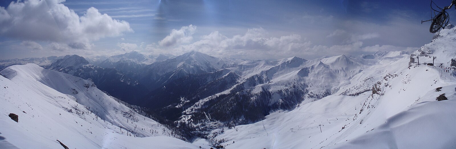
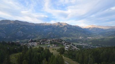
Live webcam


Open liften: 0/36
Sneeuwbericht
- Laatste 24 uur: 0 cm
- Laatste 72 uur: 0 cm
- Laatste 7 dagen: 0 cm
- Laatste 7 dagen: Dal 0cm · Middenstation 0cm · Top 0cm
- Seizoenstotaal: 0 cm
Skigebieden nu open · Sneeuwbericht
About Pra Loup
A Southern Alps favorite where Mediterranean sunshine meets sprawling larch forests and a laid-back, family-friendly atmosphere.
Highlights
- Sunny southern slopes
- Larch forest trails
- Family-centric vibe
- Interconnected ridgelines
Key Facts
- Altitude: 1621m
- Top lift: 2576m
- Ski pistes: 180km
- Ski lifts: 36
- Population: 72
- Lakes nearby: 4
- MTB trails: 209.9km
- Mountain huts: 5
Ski Area
Weather and 10-day forecast for Pra Loup
- Today: 7 to 16 °C, clear sky, 9 h of sunshine
- Freezing level today: about 3949 m (3640 to 4370 m)
| Day | Min / max | Sky | Precipitation | Sunshine |
|---|---|---|---|---|
| za 19 sep | 7 / 16 °C | clear sky | dry | 9 h sun |
| zo 20 sep | 8 / 19 °C | clear sky | dry | 10 h sun |
| ma 21 sep | 12 / 21 °C | partly cloudy | dry | 4 h sun |
| di 22 sep | 10 / 19 °C | partly cloudy | dry | 9 h sun |
| wo 23 sep | 8 / 17 °C | partly cloudy | dry | 8 h sun |
| do 24 sep | 7 / 17 °C | partly cloudy | dry | 8 h sun |
| vr 25 sep | 2 / 14 °C | partly cloudy | dry | 6 h sun |
| za 26 sep | 4 / 15 °C | clear sky | dry | 9 h sun |
| zo 27 sep | 1 / 17 °C | partly cloudy | dry | 9 h sun |
| ma 28 sep | 1 / 15 °C | drizzle | dry | 0 h sun |
Things to do in Pra Loup
Hikes nearby — Pra Loup (17)
17 curated hiking trails around Pra Loup, sourced from OpenStreetMap and enriched with distance, elevation gain and difficulty.
-
Lac de l'Aupillon
A small, round lake hides in the heights of the Rioclar valley, sheltered by summits approaching 3,000 metres — the only lake on the sun-facing slope (*adret*) of Barcelonnette worthy of the name. The route climbs past pastoral shepherds' huts at Les Hières, threads beneath the cascade de la Pisse, and crosses high alpine pastures before reaching the lake, which sometimes runs dry in summer.
-
Circuit des hameaux
-
Puy Bas
-
Crêtes des Cognetons
-
De Seyne au Col du Roburent
Il s’agit de l’étape la plus longue et difficile de l’itinéraire. Attention, risque d’enneigement jusqu’au mois de juin rendant le passage du col dangereux voire impraticable.
-
Le Belvédère du Fau
-
Chemin pastoral de LesThuiles à Laverq
-
Chemin de Barcelonnette au Sauze
-
Col de Terres Blanches
-
Col des Orres - Cabane du Grand Vallon
-
Col des Orres
-
Cabane du Grand Vallon - ?
-
Remollon - Vieille Cabane
-
Tour de l'Ubaye
-
Boucle du Bachelard
-
Chapeau de Gendarme (2 683 m)
-
Cabanes de Talon - Preinier
Mountain biking near Pra Loup
- Barcelonnette - Pra-Loup
- Barcelonnette - Uvernet-Fours
- The Flow
- Family & Kids
- Blue Brother
- Black Jack
- Red Carpet
Getting to Pra Loup
Door-to-door travel times as used by the MR. ALPS ranking.
- Nearest airport: Marseille Provence Airport (MRS), 152 km away, about 2h46 by road
- Marseille: 2h58 by car, 232 km
- Nice: 3h02 by car, 158 km
- Grenoble: 3h05 by car, 175 km
- Torino: 3h08 by car, 207 km
- Chambéry: 3h42 by car, 234 km
- Genova: 3h42 by car, 255 km
Where to stay in Pra Loup
53 places to stay for a night on 2026-09-25, from 93 EUR per night, median 171 EUR. Prices are direct with hotels and destinations, compared live on the Pra Loup page.