Saint-Gervais
ライブカメラ



営業中のリフト: 0/60
積雪情報
- 過去24時間: 0 cm
- 過去72時間: 0 cm
- 過去7日間: 0 cm
- 過去7日間: 山麓 0cm · 中腹 0cm · 山頂 0cm
- シーズン累計: 0.4 cm
About Saint-Gervais
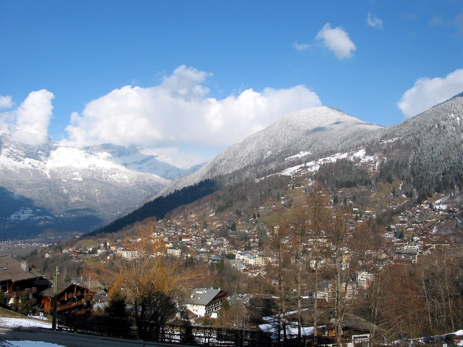
A refined spa town where Belle Époque architecture meets serious mountaineering culture at the foot of the Mont Blanc massif.
Highlights
- Thermal bath heritage
- Belle Époque charm
- Historic tramway access
- Authentic market town
Key Facts
- Altitude: 813m
- Top lift: 2353m
- Ski pistes: 263km
- Ski lifts: 81
- Population: 5,678
- 4000m+ peaks nearby: 18
- Lakes nearby: 17
- MTB trails: 263.8km
- Mountain huts: 39
Ski Area
この目的地が含まれるシーズンパス
Weather and 10-day forecast for Saint-Gervais
- Today: 6 to 16 °C, clear sky, 9 h of sunshine
- Freezing level today: about 3873 m (3540 to 4170 m)
| Day | Min / max | Sky | Precipitation | Sunshine |
|---|---|---|---|---|
| 9月19日(土) | 6 / 16 °C | clear sky | dry | 9 h sun |
| 9月20日(日) | 9 / 18 °C | partly cloudy | dry | 7 h sun |
| 9月21日(月) | 9 / 17 °C | overcast | dry | 2 h sun |
| 9月22日(火) | 7 / 19 °C | clear sky | dry | 12 h sun |
| 9月23日(水) | 6 / 18 °C | clear sky | dry | 12 h sun |
| 9月24日(木) | 6 / 13 °C | partly cloudy | dry | 6 h sun |
| 9月25日(金) | 4 / 14 °C | partly cloudy | dry | 9 h sun |
| 9月26日(土) | 6 / 16 °C | clear sky | dry | 9 h sun |
| 9月27日(日) | 6 / 20 °C | partly cloudy | dry | 5 h sun |
| 9月28日(月) | 6 / 19 °C | clear sky | dry | 12 h sun |
Things to do in Saint-Gervais
Hikes nearby — Saint-Gervais (14)
14 curated hiking trails around Saint-Gervais, sourced from OpenStreetMap and enriched with distance, elevation gain and difficulty.
-
Sur les Pas des Premiers Guides
Departing from Champel, a hamlet that dominates the Val Montjoie, this loop trail through the Bionnassay valley follows a mountain-flank path to trace the history of mountaineering as a themed, family-accessible route.
-
Col de Tricot
The route begins in the village of Les Chavants in the Houches valley and passes through a varied Savoyard landscape on its way to the col.
-
Tour Du Mont Blanc - Variante du Col de Tricot
-
L'Alpage de Porcherey
-
Le Bettex - Arbois
This moderate loop from Le Bettex weaves through forest trails and gentle alpine scenery, with the gondola link between Le Bettex and Mont d'Arbois offering a panoramic reward — a sweeping view of Mont Blanc from the summit.
-
La Gruvaz - Le Truc - Alpage de Miage
This superb loop climbs from the La Gruvaz gorges — where chamois and marmots may be spotted — up to two high alpine pastures: the Truc plateau and the Miage chalets. Both sites deliver sweeping views of the Dômes de Miage and the Aiguille de Bionnassay.
-
Boucle de Miage
-
Balade du Plateau d'Assy au Lac Vert
-
Balade panoramique du Haut-Combloux
-
Boucle des Balcons d'Assy
-
Aiguille Croche
-
Boucle des Bénés
-
Boucle de Pormenaz
-
Aiguillette des Houches
Mountain biking near Saint-Gervais
- Tête Noire par le col de la Forclaz
- La Bambinade
- Dré dans le pentu de Voza à Saint-Gervais
- Directe St-Ger
- La Valléenne
- Les balcons du Mont-Blanc
- Saucette
- Sherwood
Getting to Saint-Gervais
Door-to-door travel times as used by the MR. ALPS ranking.
- Nearest airport: Geneva International Airport (GVA), 60 km away, about 1h14 by road
- Genève: 56 min by car, 69 km
- Annecy: 1h06 by car, 81 km
- Chambéry: 1h22 by car, 96 km
- Lausanne: 1h41 by car, 131 km
- Grenoble: 1h46 by car, 127 km
- Lyon: 2h29 by car, 210 km
Where to stay in Saint-Gervais
200 places to stay for a night on 2026-09-25, from 75 EUR per night, median 157 EUR. Prices are direct with hotels and destinations, compared live on the Saint-Gervais page.