Saint-Gervais
Alpen › Grajische Alpen › Mont-Blanc-Gruppe
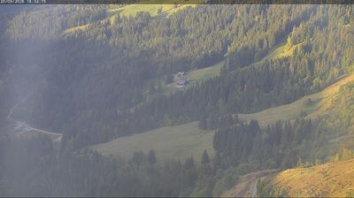
Live-Webcam


Offene Lifte: 0/60
Schneebericht
- Letzte 24h (1583 m): 11 cm
- Letzte 72h (1583 m): 31 cm
- Letzte 7 Tage: Gipfel (2353 m) 93cm · Mittelstation (1583 m) 48cm · Tal (813 m) 0cm
- Saisonsumme (1583 m): 0 cm
Skigebiete jetzt geöffnet · Schneebericht
About Saint-Gervais
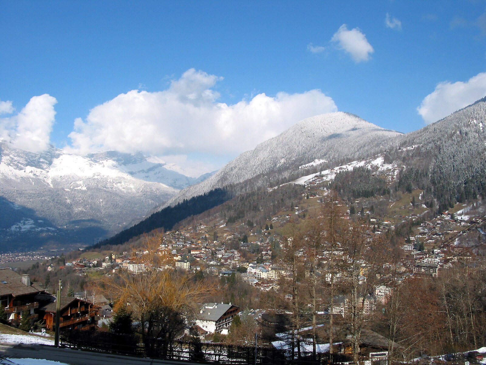
A refined spa town where Belle Époque architecture meets serious mountaineering culture at the foot of the Mont Blanc massif.
Highlights
- Thermal bath heritage
- Belle Époque charm
- Historic tramway access
- Authentic market town
Key Facts
- Altitude: 813m
- Top lift: 2353m
- Ski pistes: 235km
- Ski lifts: 81
- Population: 5,678
- 4000m+ peaks nearby: 18
- Lakes nearby: 17
- MTB trails: 278.9km
- Mountain huts: 39
Ski Area
Enthalten in diesen Saisonpässen
Weather and 10-day forecast for Saint-Gervais
- Today: 2 to 7 °C, rain, 0 h of sunshine
- Freezing level today: about 1843 m (1470 to 2760 m)
| Day | Min / max | Sky | Precipitation | Sunshine |
|---|---|---|---|---|
| So., 22. Nov. | 2 / 7 °C | rain | 64 mm rain | 0 h sun |
| Mo., 23. Nov. | 0 / 4 °C | rain | 8 cm snow | 0 h sun |
| Di., 24. Nov. | 1 / 6 °C | overcast | 1 mm rain | 1 h sun |
| Mi., 25. Nov. | 3 / 5 °C | rain | 3 mm rain | 0 h sun |
| Do., 26. Nov. | 2 / 4 °C | overcast | 4 mm rain | 2 h sun |
| Fr., 27. Nov. | -1 / 5 °C | clear sky | dry | 8 h sun |
| Sa., 28. Nov. | 4 / 12 °C | mainly clear | dry | 6 h sun |
| So., 29. Nov. | -4 / 9 °C | rain | 0 mm rain | 5 h sun |
| Mo., 30. Nov. | -7 / 6 °C | overcast | dry | 9 h sun |
| Di., 1. Dez. | -7 / 8 °C | overcast | dry | 8 h sun |
Things to do in Saint-Gervais
Hikes nearby - Saint-Gervais (14)
14 curated hiking trails around Saint-Gervais, sourced from OpenStreetMap and enriched with distance, elevation gain and difficulty.
-
Sur les Pas des Premiers Guides
Departing from Champel, a hamlet that dominates the Val Montjoie, this loop trail through the Bionnassay valley follows a mountain-flank path to trace the history of mountaineering as a themed, family-accessible route.
-
Col de Tricot
Die Route beginnt im Dorf Les Chavants im Tal von Les Houches und durchquert auf dem Weg zum Col eine abwechslungsreiche savoyardische Landschaft.
-
Tour Du Mont Blanc - Variante du Col de Tricot
-
L'Alpage de Porcherey
-
Le Bettex - Arbois
This moderate loop from Le Bettex weaves through forest trails and gentle alpine scenery, with the gondola link between Le Bettex and Mont d'Arbois offering a panoramic reward — a sweeping view of Mont Blanc from the summit.
-
La Gruvaz - Le Truc - Alpage de Miage
This superb loop climbs from the La Gruvaz gorges — where chamois and marmots may be spotted — up to two high alpine pastures: the Truc plateau and the Miage chalets. Both sites deliver sweeping views of the Dômes de Miage and the Aiguille de Bionnassay.
-
Boucle de Miage
-
Balade du Plateau d'Assy au Lac Vert
-
Balade panoramique du Haut-Combloux
-
Boucle des Balcons d'Assy
-
Aiguille Croche
Eine Hochgebirgsroute in den Nördlichen Alpen, die auf den 2.500 m hohen Gipfel der Aiguille Croche führt, einem emblematischen Gipfel der Haute-Savoie mit 360°-Panoramablick. Eine Orientierungstafel am Gipfel hilft Wanderern, die umliegenden Gipfel zu identifizieren, während der Weg entlang der Hänge des Mont Joly mit Blick über das Tal in Richtung Mont Blanc verläuft.
-
Boucle des Bénés
-
Boucle de Pormenaz
-
Aiguillette des Houches
Mountainbiken bei Saint-Gervais
- Tête Noire par le col de la Forclaz
- La Bambinade
- Dré dans le pentu de Voza à Saint-Gervais
- Directe St-Ger
- La Valléenne
- Les balcons du Mont-Blanc
- Saucette
- Alpage Respect
Hier gedreht
- We Love You, You Bastard (2014)
- Crime Is Our Business (2008)
- Malabar Princess (2004)
Getting to Saint-Gervais
Door-to-door travel times as used by the MR. ALPS ranking.
- Nearest airport: Geneva International Airport (GVA), 60 km away, about 1h14 by road
- Genève: 56 min by car, 69 km
- Annecy: 1h06 by car, 81 km
- Chambéry: 1h22 by car, 96 km
- Lausanne: 1h41 by car, 131 km
- Grenoble: 1h46 by car, 127 km
- Lyon: 2h29 by car, 210 km
Where to stay in Saint-Gervais
216 places to stay for a night on 2026-11-27, from 59 EUR per night, median 128 EUR. Prices are direct with hotels and destinations, compared live on the Saint-Gervais page.