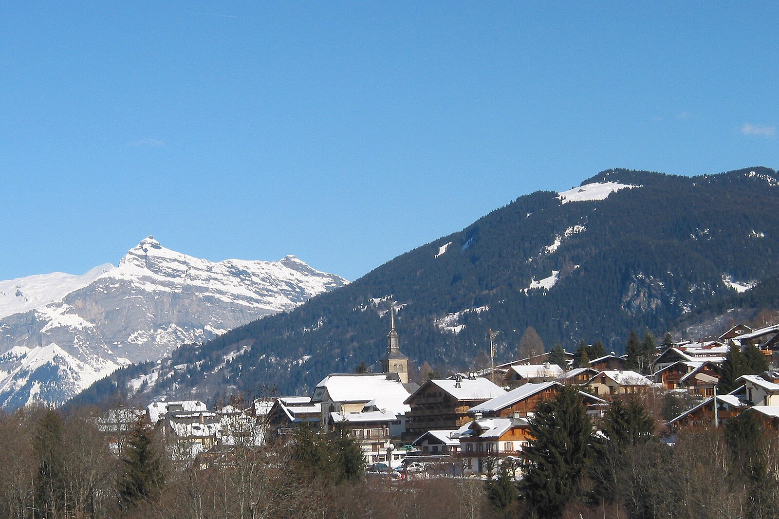
Les Contamines
ライブカメラ
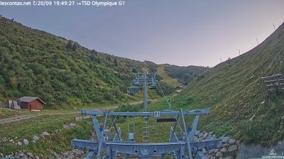
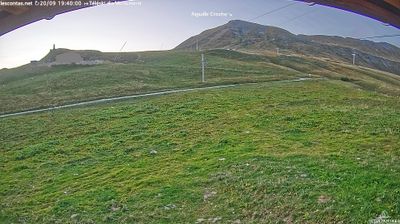
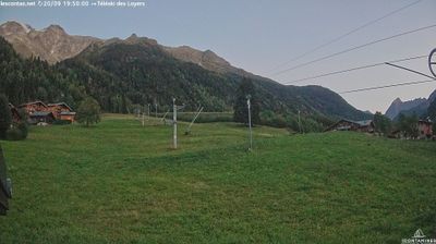
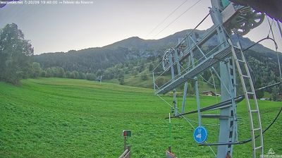
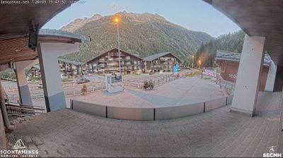
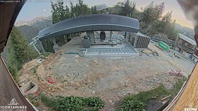
営業中のリフト: 0/24
積雪情報
- 過去24時間: 0 cm
- 過去72時間: 0 cm
- 過去7日間: 0 cm
- 過去7日間: 山麓 0cm · 中腹 0cm · 山頂 0cm
- シーズン累計: 3.5 cm
About Les Contamines
A discreet Savoie secret where baroque heritage meets a massive, uncrowded natural reserve under the shadow of Mont Blanc.
Highlights
- Baroque church architecture
- Expansive nature reserve
- Traditional farmhouse chalets
- Family-run hospitality
Key Facts
- Altitude: 1133m
- Top lift: 2437m
- Ski pistes: 120km
- Ski lifts: 24
- Population: 1,083
- 4000m+ peaks nearby: 19
- Lakes nearby: 12
- MTB trails: 264.2km
- Mountain huts: 36
Ski Area
この目的地が含まれるシーズンパス
Weather and 10-day forecast for Les Contamines
- Today: 7 to 16 °C, clear sky, 9 h of sunshine
- Freezing level today: about 4264 m (4180 to 4320 m)
| Day | Min / max | Sky | Precipitation | Sunshine |
|---|---|---|---|---|
| 9月20日(日) | 7 / 16 °C | clear sky | dry | 9 h sun |
| 9月21日(月) | 8 / 15 °C | partly cloudy | dry | 4 h sun |
| 9月22日(火) | 7 / 16 °C | clear sky | dry | 12 h sun |
| 9月23日(水) | 9 / 17 °C | clear sky | dry | 12 h sun |
| 9月24日(木) | 8 / 18 °C | clear sky | dry | 9 h sun |
| 9月25日(金) | 9 / 18 °C | clear sky | dry | 9 h sun |
| 9月26日(土) | 8 / 19 °C | clear sky | dry | 12 h sun |
| 9月27日(日) | 10 / 19 °C | partly cloudy | dry | 7 h sun |
| 9月28日(月) | 9 / 17 °C | clear sky | dry | 11 h sun |
| 9月29日(火) | 8 / 19 °C | drizzle | dry | 3 h sun |
Things to do in Les Contamines
Hikes nearby — Les Contamines (11)
11 curated hiking trails around Les Contamines, sourced from OpenStreetMap and enriched with distance, elevation gain and difficulty.
-
Sur les Pas des Premiers Guides
Departing from Champel, a hamlet that dominates the Val Montjoie, this loop trail through the Bionnassay valley follows a mountain-flank path to trace the history of mountaineering as a themed, family-accessible route.
-
Col de Tricot
The route begins in the village of Les Chavants in the Houches valley and passes through a varied Savoyard landscape on its way to the col.
-
Aiguille Croche
A high-mountain route in the Northern Alps that climbs to the 2,500 m summit of Aiguille Croche, an emblematic Haute-Savoie peak offering 360° panoramic views. An orientation table at the top helps hikers identify the surrounding summits, while the trail runs along the slopes of Mont Joly with views across the valley toward Mont Blanc.
-
Le Mont d'Arbois - Mont Joux
The route passes one of the last working alpine farms surrounded by meadow wildflowers — gentians, cowslips, and buttercups — before climbing to the Mont Joux orientation table, where an unobstructed panorama of the Mont Blanc massif opens up. Along the way, the path also looks out over a golf course spread across the high plateau below.
-
Tour Du Mont Blanc - Variante du Col de Tricot
-
L'Alpage de Porcherey
-
La Gruvaz - Le Truc - Alpage de Miage
This superb loop climbs from the La Gruvaz gorges — where chamois and marmots may be spotted — up to two high alpine pastures: the Truc plateau and the Miage chalets. Both sites deliver sweeping views of the Dômes de Miage and the Aiguille de Bionnassay.
-
Boucle de Miage
-
Le Bettex - Arbois
This moderate loop from Le Bettex weaves through forest trails and gentle alpine scenery, with the gondola link between Le Bettex and Mont d'Arbois offering a panoramic reward — a sweeping view of Mont Blanc from the summit.
-
Ancien projet de tracé de la N202
-
Balade panoramique du Haut-Combloux
Mountain biking near Les Contamines
- Boucle des 4 communes
- Le Grand Tour
- L’échappée Saint-Nicolataine
- Circuit des Alpages
- À la découverte du Tramway du Mont-Blanc
- Circuit des Hameaux
- Notre-Dame-de-la-Gorge
- Les balcons du Mont-Blanc
Getting to Les Contamines
Door-to-door travel times as used by the MR. ALPS ranking.
- Nearest airport: Geneva International Airport (GVA), 66 km away, about 1h26 by road
- Genève: 1h09 by car, 78 km
- Annecy: 1h19 by car, 90 km
- Chambéry: 1h35 by car, 104 km
- Lausanne: 1h54 by car, 139 km
- Grenoble: 1h58 by car, 135 km
- Lyon: 2h42 by car, 219 km
Where to stay in Les Contamines
111 places to stay for a night on 2026-09-25, from 56 EUR per night, median 173 EUR. Prices are direct with hotels and destinations, compared live on the Les Contamines page.