Les Contamines
Alpes › Alpes Grées › Massif du Beaufortain
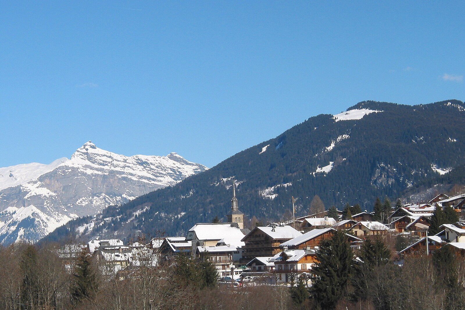
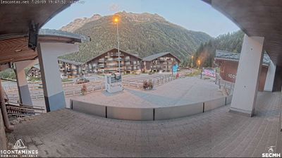
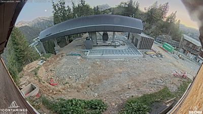
Webcam en direct

Remontées ouvertes: 0/24
Bulletin d'enneigement
- Dernières 24h (1785 m): 4 cm
- Dernières 72h (1785 m): 45 cm
- 7 derniers jours: Sommet (2437 m) 93cm · Mi-montagne (1785 m) 63cm · Vallée (1133 m) 0cm
- Cumul de saison (1785 m): 73 cm
Domaines skiables ouverts maintenant · Bulletin d'enneigement
About Les Contamines
A discreet Savoie secret where baroque heritage meets a massive, uncrowded natural reserve under the shadow of Mont Blanc.
Highlights
- Baroque church architecture
- Expansive nature reserve
- Traditional farmhouse chalets
- Family-run hospitality
Key Facts
- Altitude: 1133m
- Top lift: 2437m
- Ski pistes: 84km
- Ski lifts: 24
- Population: 1,083
- 4000m+ peaks nearby: 19
- Lakes nearby: 12
- MTB trails: 286.4km
- Mountain huts: 36
Ski Area
Inclus dans ces forfaits saison
Weather and 10-day forecast for Les Contamines
- Today: 1 to 6 °C, rain, 0 h of sunshine
- Freezing level today: about 2139 m (1750 to 2810 m)
| Day | Min / max | Sky | Precipitation | Sunshine |
|---|---|---|---|---|
| dim. 22 nov. | 1 / 6 °C | rain | 66 mm rain | 0 h sun |
| lun. 23 nov. | 0 / 3 °C | rain showers | 22 mm rain | 0 h sun |
| mar. 24 nov. | -1 / 4 °C | overcast | 1 mm rain | 1 h sun |
| mer. 25 nov. | 0 / 3 °C | rain | 0 cm snow | 0 h sun |
| jeu. 26 nov. | 0 / 2 °C | overcast | 2 cm snow | 2 h sun |
| ven. 27 nov. | -3 / 3 °C | clear sky | dry | 8 h sun |
| sam. 28 nov. | 2 / 10 °C | mainly clear | dry | 6 h sun |
| dim. 29 nov. | -3 / 7 °C | rain | 0 mm rain | 5 h sun |
| lun. 30 nov. | -5 / 5 °C | overcast | dry | 9 h sun |
| mar. 1 déc. | -6 / 6 °C | overcast | dry | 8 h sun |
Things to do in Les Contamines
Hikes nearby - Les Contamines (11)
11 curated hiking trails around Les Contamines, sourced from OpenStreetMap and enriched with distance, elevation gain and difficulty.
-
Sur les Pas des Premiers Guides
Departing from Champel, a hamlet that dominates the Val Montjoie, this loop trail through the Bionnassay valley follows a mountain-flank path to trace the history of mountaineering as a themed, family-accessible route.
-
Col de Tricot
L'itinéraire commence dans le village des Chavants dans la vallée des Houches et traverse un paysage savoyard varié sur le chemin du col.
-
Aiguille Croche
Un itinéraire de haute montagne dans les Alpes du Nord qui monte jusqu'au sommet de l'Aiguille Croche à 2 500 m, un sommet emblématique de Haute-Savoie offrant des vues panoramiques à 360°. Une table d'orientation au sommet aide les randonneurs à identifier les sommets environnants, tandis que le sentier longe les pentes du Mont Joly avec des vues sur la vallée en direction du Mont Blanc.
-
Le Mont d'Arbois - Mont Joux
The route passes one of the last working alpine farms surrounded by meadow wildflowers — gentians, cowslips, and buttercups — before climbing to the Mont Joux orientation table, where an unobstructed panorama of the Mont Blanc massif opens up. Along the way, the path also looks out over a golf course spread across the high plateau below.
-
Tour Du Mont Blanc - Variante du Col de Tricot
-
L'Alpage de Porcherey
-
La Gruvaz - Le Truc - Alpage de Miage
This superb loop climbs from the La Gruvaz gorges — where chamois and marmots may be spotted — up to two high alpine pastures: the Truc plateau and the Miage chalets. Both sites deliver sweeping views of the Dômes de Miage and the Aiguille de Bionnassay.
-
Boucle de Miage
-
Le Bettex - Arbois
This moderate loop from Le Bettex weaves through forest trails and gentle alpine scenery, with the gondola link between Le Bettex and Mont d'Arbois offering a panoramic reward — a sweeping view of Mont Blanc from the summit.
-
Ancien projet de tracé de la N202
-
Balade panoramique du Haut-Combloux
VTT près de Les Contamines
- Boucle des 4 communes
- Le Grand Tour
- L’échappée Saint-Nicolataine
- Circuit des Alpages
- À la découverte du Tramway du Mont-Blanc
- Circuit des Hameaux
- Notre-Dame-de-la-Gorge
- Les balcons du Mont-Blanc
Tourné ici
- Tout schuss (2016)
- The Finishers (2013)
- Malabar Princess (2004)
Getting to Les Contamines
Door-to-door travel times as used by the MR. ALPS ranking.
- Nearest airport: Geneva International Airport (GVA), 66 km away, about 1h26 by road
- Genève: 1h09 by car, 78 km
- Annecy: 1h19 by car, 90 km
- Chambéry: 1h35 by car, 104 km
- Lausanne: 1h54 by car, 139 km
- Grenoble: 1h58 by car, 135 km
- Lyon: 2h42 by car, 219 km