Hotz – Oberweng (Spital am Pyhrn)
ライブカメラ

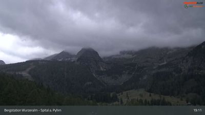
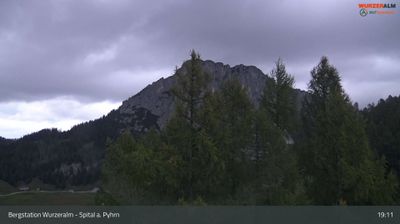
営業中のリフト: 0%
積雪情報
- 過去24時間: 0 cm
- 過去72時間: 0 cm
- 過去7日間: 0 cm
- 過去7日間: 山麓 0cm · 中腹 0cm · 山頂 0cm
- シーズン累計: 0 cm
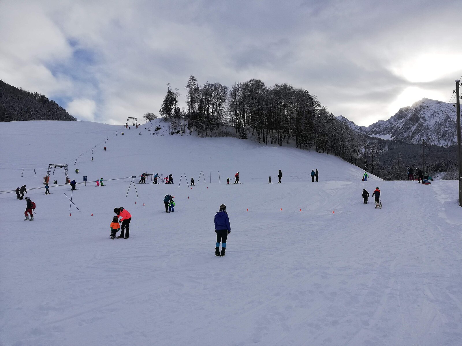
About Hotz – Oberweng (Spital am Pyhrn)
A secluded mountain hamlet serving as a quiet gateway to the limestone crags and wild forests of the Kalkalpen wilderness.
Highlights
- Alpine meadow hiking
- National Park access
- Traditional farmhouse stays
- Untamed limestone scenery
Key Facts
- Altitude: 840m
- Top lift: 898m
- Ski pistes: 1km
- Ski lifts: 2
- Population: 2,251
- Lakes nearby: 8
- MTB trails: 276.4km
- Mountain huts: 24
Ski Area
Weather and 10-day forecast for Hotz – Oberweng (Spital am Pyhrn)
- Today: 5 to 15 °C, clear sky, 12 h of sunshine
- Freezing level today: about 2654 m (1910 to 3300 m)
| Day | Min / max | Sky | Precipitation | Sunshine |
|---|---|---|---|---|
| 9月23日(水) | 5 / 15 °C | clear sky | dry | 12 h sun |
| 9月24日(木) | 7 / 13 °C | rain showers | dry | 1 h sun |
| 9月25日(金) | 5 / 13 °C | clear sky | dry | 10 h sun |
| 9月26日(土) | 5 / 19 °C | clear sky | dry | 12 h sun |
| 9月27日(日) | 9 / 21 °C | clear sky | dry | 12 h sun |
| 9月28日(月) | 10 / 23 °C | clear sky | dry | 11 h sun |
| 9月29日(火) | 13 / 23 °C | clear sky | dry | 12 h sun |
| 9月30日(水) | 8 / 23 °C | clear sky | dry | 12 h sun |
| 10月1日(木) | 9 / 22 °C | clear sky | dry | 11 h sun |
| 10月2日(金) | 9 / 21 °C | clear sky | dry | 9 h sun |
Things to do in Hotz – Oberweng (Spital am Pyhrn)
Hikes nearby — Hotz – Oberweng (Spital am Pyhrn) (12)
12 curated hiking trails around Hotz – Oberweng (Spital am Pyhrn), sourced from OpenStreetMap and enriched with distance, elevation gain and difficulty.
-
Wanderweg 615 Hofersteig
-
Wanderweg 614
-
Wanderweg 601
ノルトアルペンヴェークのセクション:ロールラウアーハウス - シュピタール・アム・ピュルン
-
Via Alpina Purple A25
-
Europäischer Fernwanderweg E4 alpin (Bad Goisern/Eisenerz)
ヨーロッパ長距離ハイキングルートE4はヨーロッパのハイキングルートネットワークの一部であり、ヨーロッパ大陸の最南西端の地点を、西中央ヨーロッパを通る大きな弧を描いて、南東に位置するキプロス島と結ぶことを目的としています。E4は総延長約12,090キロメートルで、すべてのヨーロッパ長距離ハイキングルートの中で断然最長です。
-
Via Alpina Purple A26
-
Wanderweg 618
Rohrauerhaus am Pyhrgasgatterl - Hoferalmhütte - Sonnleitnerreith - Holzeralm - Gowilalmhütte
-
Kalkalpenweg
-
Wanderweg 612
Spital am Pyhrn - Stegreith JH -Stiftsreith - Mausmaier - Pantl, zum Weg 613 unterhalb des Arlingsattels
-
Wanderweg 616
-
Grüner Sensenthemenweg
-
Bodinggraben - Schaumbergalm
Mountain biking near Hotz – Oberweng (Spital am Pyhrn)
- Pantl Mountainbike Runde MTB10
- Oberwenger Panoramaroute
- Verbindung Windischgarsten - Spital/Pyhrn
- Verbindung 2: Windischgarsten - Garstnertaler Höhenrunde
- Verbindung 3: Windischgarsten - Oberwenger Panoramaroute
- Verbindung 1: Windischgarsten - Garstnertaler Höhenrunde
- Verbindung 5: Spital/Pyhrn - Garstnertaler Höhenrunde
- Verbindung 4: Spital/Pyhrn - Oberwenger Panoramaroute
Getting to Hotz – Oberweng (Spital am Pyhrn)
Door-to-door travel times as used by the MR. ALPS ranking.
- Nearest airport: Linz-Hörsching Airport (LNZ), 62 km away, about 1h06 by road
- Graz: 1h34 by car, 132 km
- Wien: 2h46 by car, 248 km
- München: 3h05 by car, 278 km
- Innsbruck: 3h43 by car, 333 km
- Nürnberg: 3h47 by car, 372 km
- Bolzano - Bozen: 5h09 by car, 448 km
Where to stay in Hotz – Oberweng (Spital am Pyhrn)
72 places to stay for a night on 2026-09-25, from 123 EUR per night, median 219 EUR. Prices are direct with hotels and destinations, compared live on the Hotz – Oberweng (Spital am Pyhrn) page.