Hotz – Oberweng (Spital am Pyhrn)
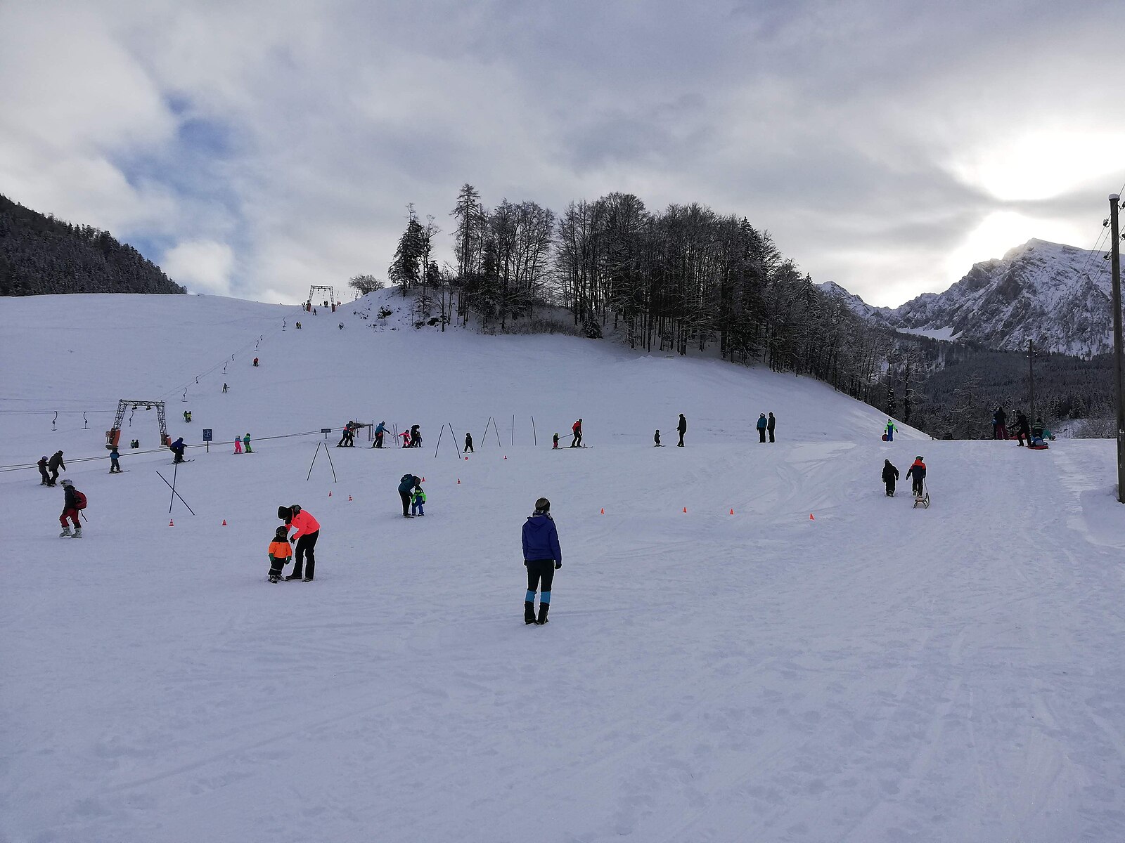
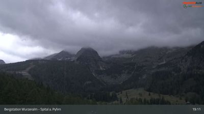
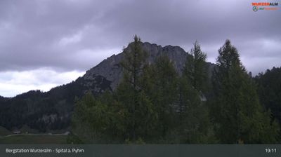
Webcam en directo

Remontes abiertos: 0%
Parte de nieve
- Últimas 24h: 0 cm
- Últimas 72h: 0 cm
- Últimos 7 días: 0 cm
- Últimos 7 días: Valle 0cm · Media montaña 0cm · Cumbre 0cm
- Acumulado de temporada: 0 cm
Estaciones de esquí abiertas ahora · Parte de nieve
About Hotz – Oberweng (Spital am Pyhrn)
A secluded mountain hamlet serving as a quiet gateway to the limestone crags and wild forests of the Kalkalpen wilderness.
Highlights
- Alpine meadow hiking
- National Park access
- Traditional farmhouse stays
- Untamed limestone scenery
Key Facts
- Altitude: 840m
- Top lift: 898m
- Ski pistes: 1km
- Ski lifts: 2
- Population: 2,251
- Lakes nearby: 8
- MTB trails: 306.9km
- Mountain huts: 24
Ski Area
Weather and 10-day forecast for Hotz – Oberweng (Spital am Pyhrn)
- Today: 7 to 13 °C, thunderstorm, 2 h of sunshine
- Freezing level today: about 2590 m (1960 to 3250 m)
| Day | Min / max | Sky | Precipitation | Sunshine |
|---|---|---|---|---|
| jue, 24 sept | 7 / 13 °C | thunderstorm | dry | 2 h sun |
| vie, 25 sept | 5 / 13 °C | clear sky | dry | 11 h sun |
| sáb, 26 sept | 5 / 18 °C | clear sky | dry | 10 h sun |
| dom, 27 sept | 9 / 21 °C | overcast | dry | 4 h sun |
| lun, 28 sept | 10 / 22 °C | clear sky | dry | 12 h sun |
| mar, 29 sept | 12 / 24 °C | clear sky | dry | 12 h sun |
| mié, 30 sept | 12 / 24 °C | clear sky | dry | 12 h sun |
| jue, 1 oct | 10 / 20 °C | clear sky | dry | 11 h sun |
| vie, 2 oct | 7 / 21 °C | drizzle | dry | 2 h sun |
| sáb, 3 oct | 10 / 15 °C | rain showers | dry | 11 h sun |
Things to do in Hotz – Oberweng (Spital am Pyhrn)
Hikes nearby — Hotz – Oberweng (Spital am Pyhrn) (12)
12 curated hiking trails around Hotz – Oberweng (Spital am Pyhrn), sourced from OpenStreetMap and enriched with distance, elevation gain and difficulty.
-
Wanderweg 615 Hofersteig
-
Wanderweg 614
-
Wanderweg 601
Tramo Nordalpenweg: Rohrauerhaus - Spital am Pyhrn
-
Via Alpina Purple A25
-
Europäischer Fernwanderweg E4 alpin (Bad Goisern/Eisenerz)
El sendero europeo de largo recorrido E4 forma parte de la red europea de senderos de senderismo y tiene como objetivo conectar el punto más al suroeste del continente europeo, en un gran arco a través de Europa central occidental, con la isla de Chipre situada al sureste. Con una longitud total de aproximadamente 12.090 kilómetros, el E4 es con diferencia el más largo de todos los senderos europeos de largo recorrido.
-
Via Alpina Purple A26
-
Wanderweg 618
Rohrauerhaus am Pyhrgasgatterl - Hoferalmhütte - Sonnleitnerreith - Holzeralm - Gowilalmhütte
-
Kalkalpenweg
-
Wanderweg 612
Spital am Pyhrn - Stegreith JH -Stiftsreith - Mausmaier - Pantl, zum Weg 613 unterhalb des Arlingsattels
-
Wanderweg 616
-
Grüner Sensenthemenweg
Der GRÜNE WEG des Sensenthemenweges in Roßleithen führt Sie vorbei am Sensenwerk – Stummer Mühle – Pießling Ursprung - Gleinkersee – zurück zum Ausgangspunkt. Hier wandern Sie auch ein kleines Stück auf dem Benediktweg!
-
Bodinggraben - Schaumbergalm
Mountain biking near Hotz – Oberweng (Spital am Pyhrn)
- Pantl Mountainbike Runde MTB10
- Oberwenger Panoramaroute
- Verbindung Windischgarsten - Spital/Pyhrn
- Verbindung 2: Windischgarsten - Garstnertaler Höhenrunde
- Verbindung 3: Windischgarsten - Oberwenger Panoramaroute
- Verbindung 1: Windischgarsten - Garstnertaler Höhenrunde
- Verbindung 5: Spital/Pyhrn - Garstnertaler Höhenrunde
- Verbindung 4: Spital/Pyhrn - Oberwenger Panoramaroute
Getting to Hotz – Oberweng (Spital am Pyhrn)
Door-to-door travel times as used by the MR. ALPS ranking.
- Nearest airport: Linz-Hörsching Airport (LNZ), 62 km away, about 1h06 by road
- Graz: 1h34 by car, 132 km
- Wien: 2h46 by car, 248 km
- München: 3h05 by car, 278 km
- Innsbruck: 3h43 by car, 333 km
- Nürnberg: 3h47 by car, 372 km
- Bolzano - Bozen: 5h09 by car, 448 km
Where to stay in Hotz – Oberweng (Spital am Pyhrn)
72 places to stay for a night on 2026-09-25, from 122 EUR per night, median 269 EUR. Prices are direct with hotels and destinations, compared live on the Hotz – Oberweng (Spital am Pyhrn) page.