Helm
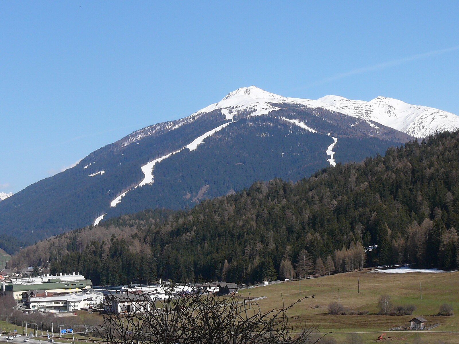
ライブカメラ

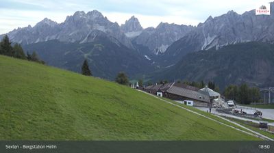

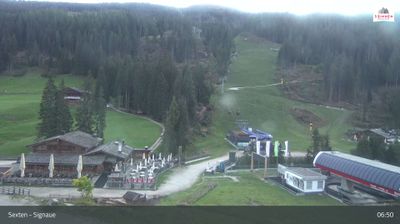
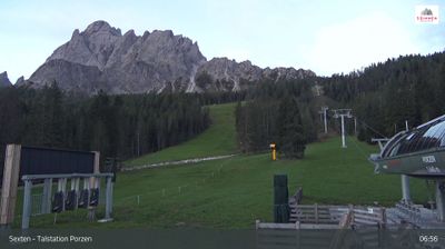
営業中のリフト: 0/19
積雪情報
- 過去24時間: 0 cm
- 過去72時間: 0 cm
- 過去7日間: 0.1 cm
- 過去7日間: 山麓 0.1cm · 中腹 0.1cm · 山頂 0.1cm
- シーズン累計: 0 cm
About Helm
A family-centric peak in the Dolomites known for its panoramic views of the Drei Zinnen and sun-drenched, wide-open timbered runs.
Highlights
- Dolomite skyline views
- Family-friendly terrain
- Traditional Rifugio culture
- Cross-border skiing
Key Facts
- Altitude: 1524m
- Top lift: 2200m
- Ski pistes: 86km
- Ski lifts: 20
- Population: 295
- Lakes nearby: 10
- MTB trails: 192km
- Mountain huts: 23
Ski Area
3 Zinnen Dolomites – Helm/Stiergarten/Rotwand/Kreuzbergpass - 3 Peaks Dolomites
この目的地が含まれるシーズンパス
Weather and 10-day forecast for Helm
- Today: 4 to 11 °C, partly cloudy, 5 h of sunshine
- Freezing level today: about 3496 m (3030 to 4100 m)
| Day | Min / max | Sky | Precipitation | Sunshine |
|---|---|---|---|---|
| 9月21日(月) | 4 / 11 °C | partly cloudy | dry | 5 h sun |
| 9月22日(火) | 1 / 8 °C | clear sky | dry | 13 h sun |
| 9月23日(水) | -2 / 10 °C | clear sky | dry | 13 h sun |
| 9月24日(木) | 1 / 7 °C | rain showers | 2 mm rain | 7 h sun |
| 9月25日(金) | -1 / 10 °C | clear sky | dry | 12 h sun |
| 9月26日(土) | 4 / 14 °C | clear sky | dry | 12 h sun |
| 9月27日(日) | 4 / 13 °C | overcast | dry | 3 h sun |
| 9月28日(月) | 1 / 15 °C | overcast | dry | 12 h sun |
| 9月29日(火) | 2 / 15 °C | overcast | dry | 12 h sun |
| 9月30日(水) | 2 / 14 °C | mainly clear | dry | 12 h sun |
Things to do in Helm
Hikes nearby — Helm (15)
15 curated hiking trails around Helm, sourced from OpenStreetMap and enriched with distance, elevation gain and difficulty.
-
Alta via n. 5 delle Dolomiti - I Tappa
L'Alta via n. 5 parte da Sesto e termina a Pieve di Cadore. È stata dedicata al sommo pittore Tiziano Vecellio, che più volte dipinse le Marmarole come sfondo di paesaggi inconsueti. Molto impegnativa con tratti a carattere alpinistico, può essere percorsa in 6/7 giorni e si sviluppa in circa novanta chilometri. La quota massima si raggiunge alla forcella Giàu de la Tana (2650 m) nelle Marmarole.
-
Hüttensteig
このトレイルは、開けた高山の牧草地「Stiergarten」の放牧地を抜けて登り、Klammbachalm を通過しながら、Sextner Dolomiten の広大なパノラマビューがルート沿いに広がります。地形は、露出したアルムの開けた草地と森林地帯のセクションの間を行き来し、その後、景観は再び広大な峠の地帯へと開けていきます。
-
Via Alpina Stage 26: Silianer Hütte - Drei-Zinnen-Hütte / Rifugio Locatelli
-
Dolomites World Heritage Geotrail 16
-
Via Alpina Red R25
Obstansersee Hütte - Sillianer Hütte
-
Südalpenweg 03 - Etappe 25
Obstanser See Hütte - Sillian
-
Heimatsteig
The Heimatsteig was built to commemorate the Andreas Hofer memorial year 1809–2009, and the route follows its eventful history through information boards along the way. On the South Tyrolean side, the trail's guiding concept is that "home is characterised by nature," with the path linking the Helm area via the Hahnspielhütte down toward Moos and Bad Moos.
-
Karnischer Höhenweg (KHW)
-
Besinnungsweg
-
Sextener Rundweg
-
15
The trail traverses the Helm/Monte Elmo at 2,050 m, following the Hüttensteig path (nr. 20) past the Helmhaus and Rif. Sillianer Hütte, where a 360° view spans the Italian-Austrian border and the landscape carries the layered history of smugglers who once crossed these ridges.
-
Dolomites World Heritage Geotrail 17
-
Alpinisteig - Strada degli Alpini
-
Ferrata Cengia Gabriella
-
Nik Trail
Mountain biking near Helm
- SICAI Ciclo
- Erla Trail
Getting to Helm
Door-to-door travel times as used by the MR. ALPS ranking.
- Nearest airport: Innsbruck Airport (INN), 99 km away, about 2h59 by road
- Bolzano - Bozen: 3h13 by car, 117 km
- Innsbruck: 3h42 by car, 150 km
- Trento: 3h44 by car, 173 km
- Padova: 4h18 by car, 218 km
- Verona: 4h42 by car, 268 km
- Brescia: 5h13 by car, 304 km
Where to stay in Helm
200 places to stay for a night on 2026-09-25, from 151 EUR per night, median 311 EUR. Prices are direct with hotels and destinations, compared live on the Helm page.