Helm
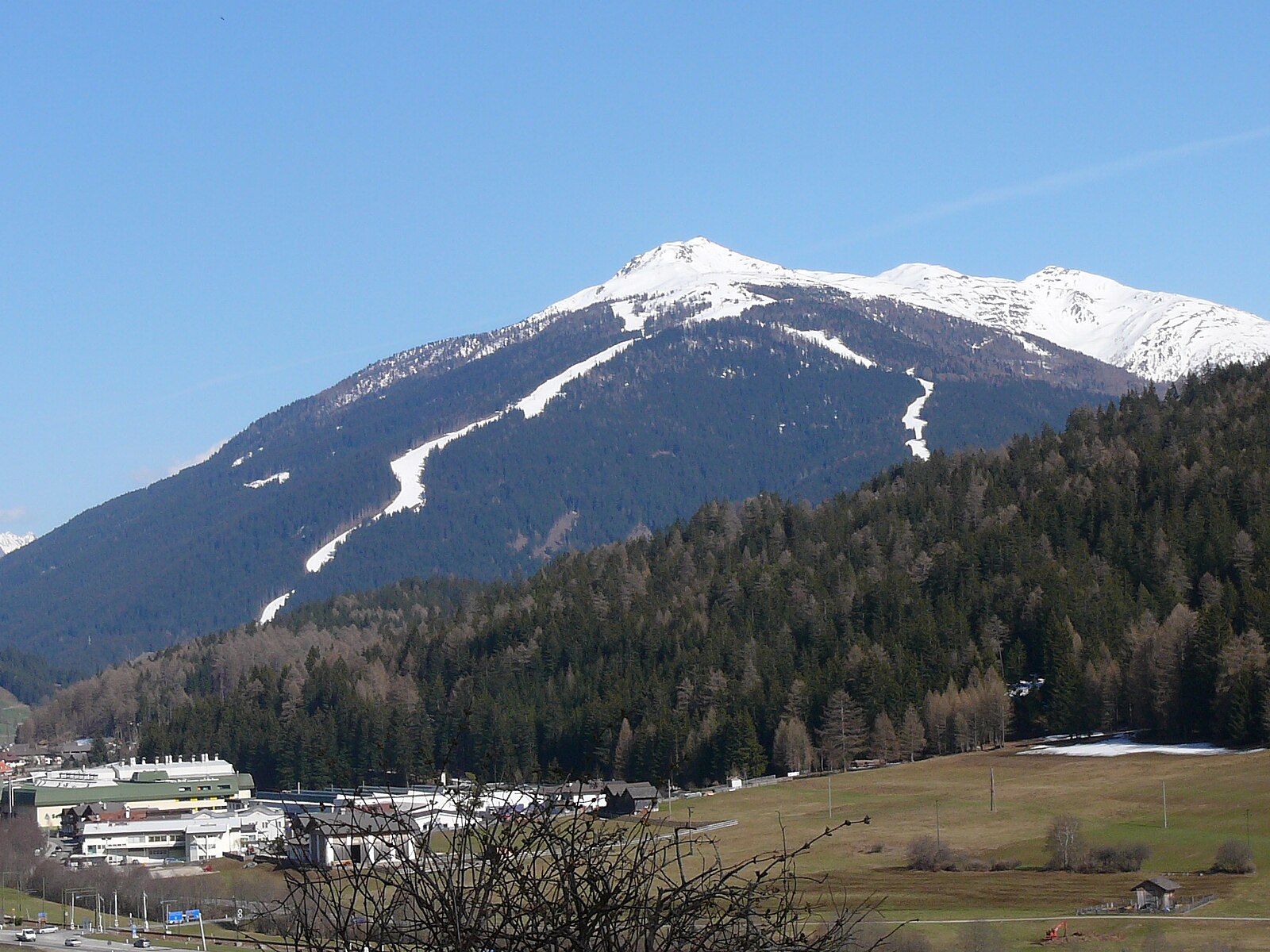
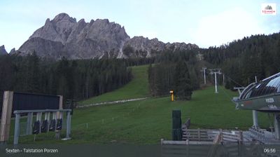
Webcam en directo

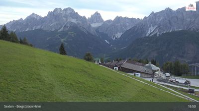

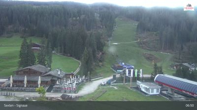
Remontes abiertos: 0/19
Parte de nieve
- Últimas 24h: 0 cm
- Últimas 72h: 0 cm
- Últimos 7 días: 0 cm
- Últimos 7 días: Valle 0cm · Media montaña 0cm · Cumbre 0cm
- Acumulado de temporada: 0 cm
Estaciones de esquí abiertas ahora · Parte de nieve
About Helm
A family-centric peak in the Dolomites known for its panoramic views of the Drei Zinnen and sun-drenched, wide-open timbered runs.
Highlights
- Dolomite skyline views
- Family-friendly terrain
- Traditional Rifugio culture
- Cross-border skiing
Key Facts
- Altitude: 1524m
- Top lift: 2200m
- Ski pistes: 86km
- Ski lifts: 20
- Population: 295
- Lakes nearby: 10
- MTB trails: 256.9km
- Mountain huts: 23
Ski Area
3 Zinnen Dolomites – Helm/Stiergarten/Rotwand/Kreuzbergpass - 3 Peaks Dolomites
Incluido en estos pases de temporada
Weather and 10-day forecast for Helm
- Today: 1 to 10 °C, clear sky, 13 h of sunshine
- Freezing level today: about 3307 m (2710 to 3610 m)
| Day | Min / max | Sky | Precipitation | Sunshine |
|---|---|---|---|---|
| mié, 23 sept | 1 / 10 °C | clear sky | dry | 13 h sun |
| jue, 24 sept | 3 / 10 °C | overcast | dry | 2 h sun |
| vie, 25 sept | 1 / 10 °C | clear sky | dry | 12 h sun |
| sáb, 26 sept | 2 / 13 °C | clear sky | dry | 12 h sun |
| dom, 27 sept | 3 / 14 °C | clear sky | dry | 10 h sun |
| lun, 28 sept | 5 / 16 °C | clear sky | dry | 11 h sun |
| mar, 29 sept | 6 / 15 °C | clear sky | dry | 7 h sun |
| mié, 30 sept | 6 / 13 °C | fog | dry | 10 h sun |
| jue, 1 oct | 4 / 10 °C | drizzle | 0 mm rain | 11 h sun |
| vie, 2 oct | 3 / 8 °C | drizzle | 0 mm rain | 0 h sun |
Things to do in Helm
Hikes nearby — Helm (15)
15 curated hiking trails around Helm, sourced from OpenStreetMap and enriched with distance, elevation gain and difficulty.
-
Alta via n. 5 delle Dolomiti - I Tappa
L'Alta via n. 5 parte da Sesto e termina a Pieve di Cadore. È stata dedicata al sommo pittore Tiziano Vecellio, che più volte dipinse le Marmarole come sfondo di paesaggi inconsueti. Molto impegnativa con tratti a carattere alpinistico, può essere percorsa in 6/7 giorni e si sviluppa in circa novanta chilometri. La quota massima si raggiunge alla forcella Giàu de la Tana (2650 m) nelle Marmarole.
-
Hüttensteig
El sendero asciende a través de prados alpinos abiertos — el pastizal «Stiergarten» — pasando por la Klammbachalm, con amplias vistas panorámicas de los Sextner Dolomiten que se despliegan a lo largo de la ruta. El terreno alterna entre claros de alm expuestos y tramos boscosos antes de que el paisaje se abra de nuevo hacia el más amplio país de los puertos de montaña.
-
Via Alpina Stage 26: Silianer Hütte - Drei-Zinnen-Hütte / Rifugio Locatelli
-
Dolomites World Heritage Geotrail 16
-
Via Alpina Red R25
Obstansersee Hütte - Sillianer Hütte
-
Südalpenweg 03 - Etappe 25
Obstanser See Hütte - Sillian
-
Heimatsteig
The Heimatsteig was built to commemorate the Andreas Hofer memorial year 1809–2009, and the route follows its eventful history through information boards along the way. On the South Tyrolean side, the trail's guiding concept is that "home is characterised by nature," with the path linking the Helm area via the Hahnspielhütte down toward Moos and Bad Moos.
-
Karnischer Höhenweg (KHW)
-
Besinnungsweg
-
Sextener Rundweg
-
15
The trail traverses the Helm/Monte Elmo at 2,050 m, following the Hüttensteig path (nr. 20) past the Helmhaus and Rif. Sillianer Hütte, where a 360° view spans the Italian-Austrian border and the landscape carries the layered history of smugglers who once crossed these ridges.
-
Dolomites World Heritage Geotrail 17
-
Alpinisteig - Strada degli Alpini
-
Ferrata Cengia Gabriella
-
Nik Trail
Mountain biking near Helm
- SICAI Ciclo
- Erla Trail
Getting to Helm
Door-to-door travel times as used by the MR. ALPS ranking.
- Nearest airport: Innsbruck Airport (INN), 99 km away, about 2h59 by road
- Bolzano - Bozen: 3h13 by car, 117 km
- Innsbruck: 3h42 by car, 150 km
- Trento: 3h44 by car, 173 km
- Padova: 4h18 by car, 218 km
- Verona: 4h42 by car, 268 km
- Brescia: 5h13 by car, 304 km
Where to stay in Helm
200 places to stay for a night on 2026-09-25, from 186 EUR per night, median 304 EUR. Prices are direct with hotels and destinations, compared live on the Helm page.