Champoussin
ライブカメラ



営業中のリフト: 0/163
積雪情報
- 過去24時間: 0 cm
- 過去72時間: 0 cm
- 過去7日間: 0 cm
- 過去7日間: 山麓 0cm · 中腹 0cm · 山頂 0cm
- シーズン累計: 1.4 cm
About Champoussin
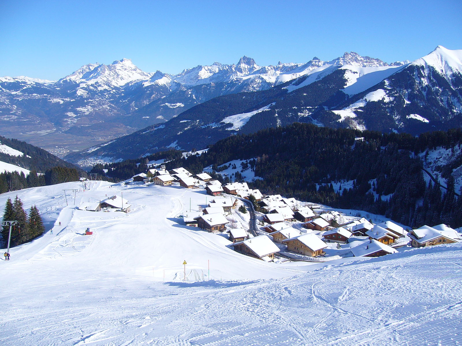
A rustic, balcony-style outpost where dark-timbered chalets offer a quiet, unpretentious gateway to the vast Portes du Soleil circuit.
Highlights
- Traditional wooden chalets
- Ski-in ski-out ease
- Low-key family vibe
- Cross-border trail access
Key Facts
- Altitude: 1611m
- Top lift: 2238m
- Ski pistes: 292km
- Ski lifts: 165
- Population: 6
- Lakes nearby: 16
- MTB trails: 32.8km
- Mountain huts: 16
Ski Area
Les Portes du Soleil – Morzine/Avoriaz/Les Gets/Châtel/Morgins/Champéry
この目的地が含まれるシーズンパス
Weather and 10-day forecast for Champoussin
- Today: 5 to 14 °C, clear sky, 9 h of sunshine
- Freezing level today: about 3859 m (3520 to 4160 m)
| Day | Min / max | Sky | Precipitation | Sunshine |
|---|---|---|---|---|
| 9月19日(土) | 5 / 14 °C | clear sky | dry | 9 h sun |
| 9月20日(日) | 9 / 17 °C | partly cloudy | dry | 7 h sun |
| 9月21日(月) | 8 / 14 °C | overcast | dry | 2 h sun |
| 9月22日(火) | 9 / 17 °C | clear sky | dry | 12 h sun |
| 9月23日(水) | 9 / 16 °C | clear sky | dry | 11 h sun |
| 9月24日(木) | 3 / 11 °C | rain showers | dry | 3 h sun |
| 9月25日(金) | 2 / 11 °C | clear sky | dry | 10 h sun |
| 9月26日(土) | 5 / 14 °C | clear sky | dry | 9 h sun |
| 9月27日(日) | 6 / 16 °C | partly cloudy | dry | 4 h sun |
| 9月28日(月) | 6 / 16 °C | clear sky | dry | 11 h sun |
Things to do in Champoussin
Hikes nearby — Champoussin (20)
20+ curated hiking trails around Champoussin, sourced from OpenStreetMap and enriched with distance, elevation gain and difficulty.
-
Les Crosets-Sur Cou
A winding descent through the Malatry Forest passes quaint alpine chalets typical of the Illiez Valley, crosses the Poijeur Bridge over the Chavalet River, and opens onto spectacular views of the Dents du Midi and Dents Blanches mountain ranges. The route ends at the alpine restaurant Cantine sur Coux, a welcome refuge in the snowy forest.
-
Sur Cou-Champery
A steep climb up grassy hillsides above Champéry leads to the Cantine Sur Cou restaurant, perched on a grassy outcropping with panoramic views of the Dents du Midi. The loop continues through Ayerne before descending back to the village via the Planachaux road.
-
40-Chemin des cols alpins
-
Tour des Dents du Midi
7つの山頂がすべて3,000メートルを超える全長3キロメートルの山塊を巡る数日間のループコースで、最高峰はオート・シム(3,257 m)です。このルートはごつごつした峠、透き通った高山湖、氷河、滝、森を縫うように進み、イリエ渓谷とローヌ渓谷の両方から望めるダン・デュ・ミディのギザギザとしたシルエットが頭上にそびえ立ちます。1972年に開設されたヴァレー州のウォーキングツアーの先駆けであるこのルートは、約40年にわたってコースを形成してきた山岳レースに起源を持ちます。
-
41-Chemin des cols alpins
-
Boucle des Mattes
-
Tour du Mont de Grange
-
Les Chalets du Mouet
-
Sentier des alpages de Vionnaz
-
Le Linleu par les quatre cols
-
Les Bords de Dranse
-
39-Chemin des cols alpins
-
Tour des Dents Blanches
-
Tour des Deux Rives
-
Tour de la Vallée du Trient
スイスとフランスの両国を縫うように巡る5日間のループコースで、ルートはTrento、Trège、Dailleyの荒々しい峡谷と、SalanfeおよびEmossonの貯水池を経由し——Emossonでは水辺近くに恐竜の足跡が残っている——Trient氷河とモンブラン山塊が終始スカイラインを支配する。
-
Alpenpässe-Weg: Barme - Morgins
-
Alpenpässe-Weg: Salanfe - Barme
-
Alpenpässe-Weg: Morgins - Torgon
-
Sentier de Salanfe
-
Itinéraire du Plateau de Vérossaz
Mountain biking near Champoussin
- Grand Conche MTB DH (Black)
- Downhill Crosets (MTB)
Getting to Champoussin
Door-to-door travel times as used by the MR. ALPS ranking.
- Nearest airport: Geneva International Airport (GVA), 58 km away, about 1h52 by road
- Lausanne: 1h08 by car, 67 km
- Bern: 1h44 by car, 124 km
- Genève: 1h47 by car, 130 km
- Biel/Bienne: 2h12 by car, 163 km
- Annecy: 2h20 by car, 171 km
- Chambéry: 2h45 by car, 215 km
Where to stay in Champoussin
200 places to stay for a night on 2026-09-25, from 169 EUR per night, median 240 EUR. Prices are direct with hotels and destinations, compared live on the Champoussin page.