Nendaz
Alpi › Alpi Pennine › Grand Combin
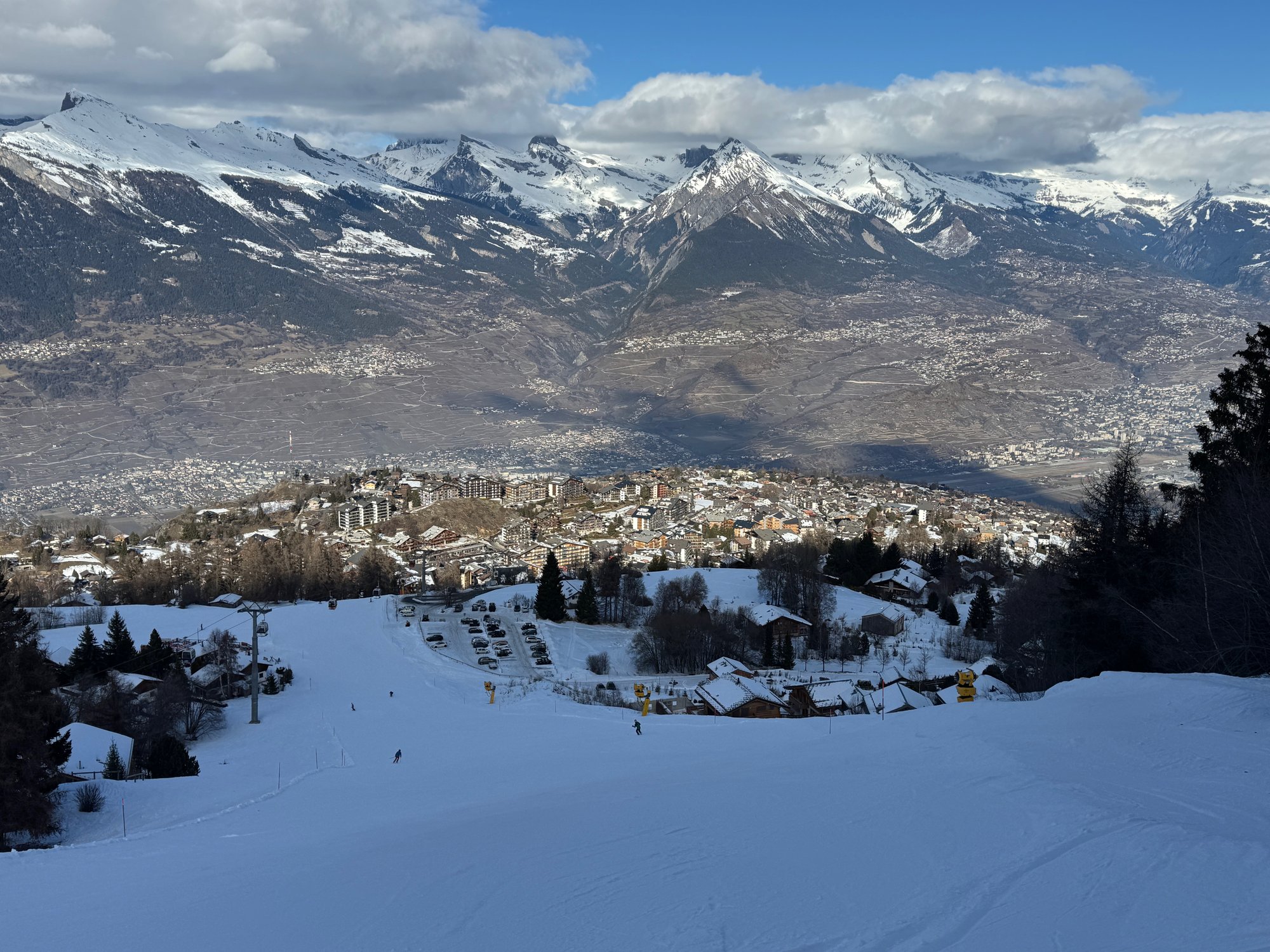
Webcam in diretta
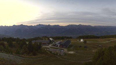
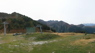
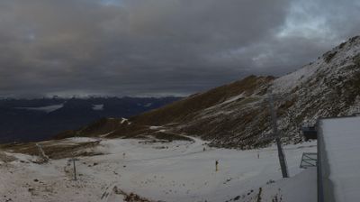
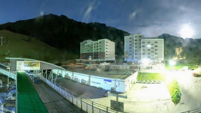
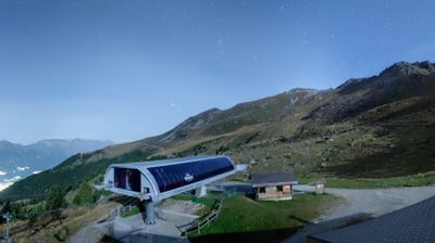
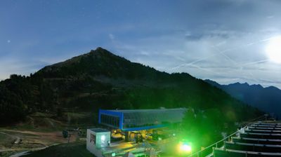
Impianti aperti: 7/65
Bollettino neve
- Ultime 24h (2321 m): 13 cm
- Ultime 72h (2321 m): 27 cm
- Ultimi 7 giorni: Cima (3308 m) 75cm · Mezza montagna (2321 m) 80cm · Valle (1333 m) 38cm
- Totale stagionale (2321 m): 82 cm
Comprensori sciistici aperti ora · Bollettino neve
About Nendaz
This authentic Valaisan village sits at 1,333m within the expansive 4 Vallées network, providing access to 225km of pistes and a top lift reaching 3,308m. During the shoulder season, the high-altitude terrain remains accessible while the lower village trails offer a quieter, crowd-free experience.
Highlights
- Ancient suonen trails
- Panoramic terrace views
- Quiet luxury chalets
- Four Valleys access
Key Facts
- Altitude: 1333m
- Top lift: 3308m
- Ski pistes: 243.8km
- Ski lifts: 67
- Population: 7,314
- Lakes nearby: 16
- MTB trails: 71.7km
- Mountain huts: 20
Ski Area
Incluso in questi abbonamenti stagionali
Weather and 10-day forecast for Nendaz
- Today: 0 to 3 °C, rain showers, 0 h of sunshine
- Freezing level today: about 2114 m (1820 to 2780 m)
- Snowfall in the last 7 days: 6 cm
| Day | Min / max | Sky | Precipitation | Sunshine |
|---|---|---|---|---|
| dom 22 nov | 0 / 3 °C | rain showers | 6 cm snow | 0 h sun |
| lun 23 nov | 0 / 2 °C | snow showers | 1 cm snow | 0 h sun |
| mar 24 nov | 0 / 2 °C | overcast | 0 mm rain | 1 h sun |
| mer 25 nov | 0 / 2 °C | snow | 2 cm snow | 1 h sun |
| gio 26 nov | 0 / 3 °C | overcast | 2 cm snow | 2 h sun |
| ven 27 nov | -3 / 1 °C | clear sky | dry | 8 h sun |
| sab 28 nov | -1 / 5 °C | partly cloudy | dry | 3 h sun |
| dom 29 nov | -8 / 2 °C | rain | dry | 5 h sun |
| lun 30 nov | -9 / 2 °C | overcast | dry | 9 h sun |
| mar 1 dic | -10 / 2 °C | overcast | dry | 5 h sun |
Things to do in Nendaz
Hikes nearby - Nendaz (20)
20+ curated hiking trails around Nendaz, sourced from OpenStreetMap and enriched with distance, elevation gain and difficulty.
-
Chemin Rhin-Reuss-Rhône
Étape 10 Sion - Saillon
-
02-Chemin du Vignoble
-
03-Chemin des Bisses
-
02-Chemin des Bisses
-
Mayens-de-Sion ouest - Planchouet
markierter Wanderweg
-
Balavaux - fixme
markierter Wanderweg
-
Balavaux - fixme
markierter Wanderweg
-
Bisse de la Tsandra
-
Bisse de la Tsandra
Due canali di irrigazione del XV secolo — entrambi alimentati dalle acque del Ghiacciaio di Tsanfleuron vicino al massiccio dei Diablerets — guidano i camminatori attraverso i campi sopra Conthey, ciascun bisse con il proprio carattere distinto. Lungo il secondo canale, pannelli informativi illustrano la secolare tradizione vallesana delle suones costruite a mano, mentre il percorso si apre su ampie vedute sulla valle.
-
Bisse de Savièse (Torrent-Neuf)
-
Bisse de Savièse (Torrent-Neuf)
Costruito all'inizio del XV secolo per convogliare l'acqua dal fiume Morge, questo percorso lungo un antico canale d'irrigazione richiede nervi saldi: il tracciato di andata e ritorno di circa 8 km attraversa quattro ponti sospesi, ciascuno lungo circa 100 metri, che si snodano sopra ripidi strapiombi tra le colline sopra Savièse.
-
00-Tour pédestre du Val d'Hérens
-
04-Chemin des Bisses
-
01-Tour pédestre du Val d'Hérens
-
06-Tour pédestre du Val d'Hérens
-
Chemin des Bisses: 40 - Veysonnaz
-
Chemin des Bisses: Les Chablotays - 40
-
Chemin du vignoble: Saillon Village - 5
-
Autour du Mont Gond
-
Bisses de Lentine et de Mont d'Orge
Mountain bike vicino a Nendaz
- Bisse de Saxon
- Route de Balavaux
- Route de la Planie
- DH sous cabine
- antenne
Getting to Nendaz
Door-to-door travel times as used by the MR. ALPS ranking.
- Nearest airport: Geneva International Airport (GVA), 91 km away, about 2h10 by road
- Lausanne: 1h23 by car, 106 km
- Bern: 2h by car, 163 km
- Genève: 2h02 by car, 168 km
- Biel/Bienne: 2h27 by car, 202 km
- Annecy: 2h33 by car, 174 km
- Chambéry: 2h58 by car, 218 km
Where to stay in Nendaz
864 places to stay for a night on 2026-11-27, from 105 EUR per night, median 360 EUR. Prices are direct with hotels and destinations, compared live on the Nendaz page.