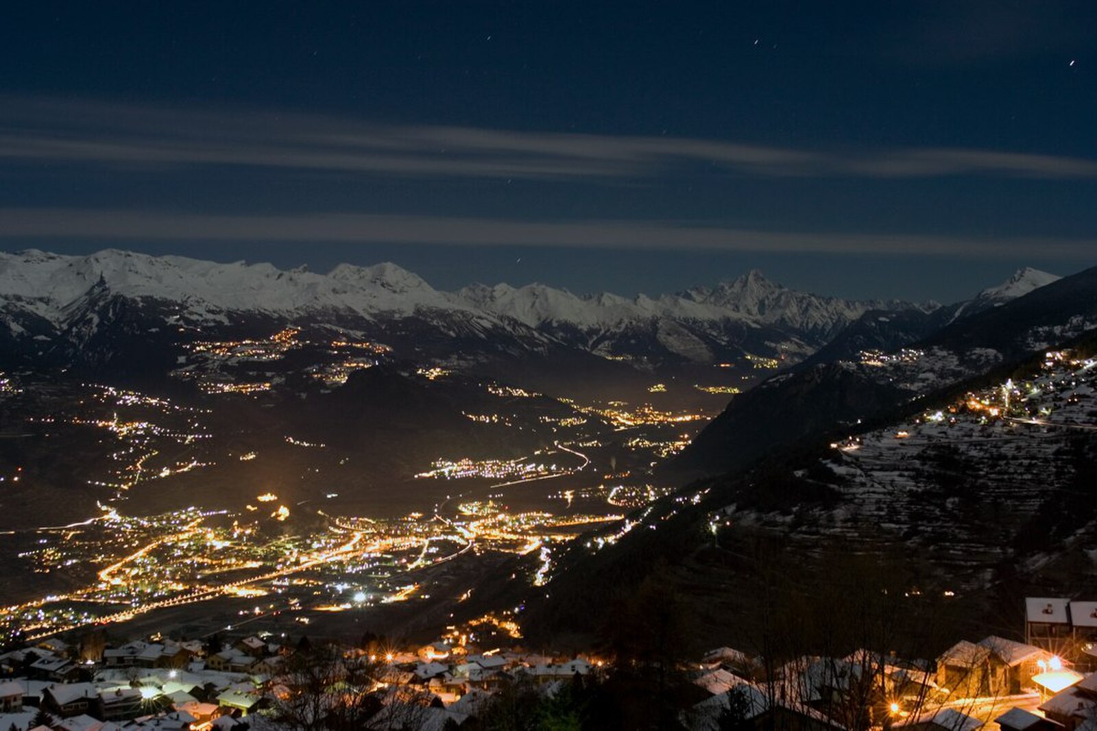
Nendaz
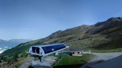
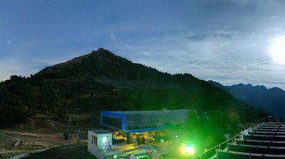
Živá webkamera
Otevřené vleky: 0/68
Sněhová zpráva
- Posledních 24h: 0 cm
- Posledních 72h: 0 cm
- Posledních 7 dní: 0 cm
- Posledních 7 dní: Údolí 0cm · Střední část 0cm · Vrchol 0cm
- Sezónní úhrn: 0.2 cm
Lyžařská střediska otevřená právě teď · Sněhová zpráva
About Nendaz
This authentic Valaisan village sits at 1,333m within the expansive 4 Vallées network, providing access to 225km of pistes and a top lift reaching 3,308m. During the shoulder season, the high-altitude terrain remains accessible while the lower village trails offer a quieter, crowd-free experience.
Highlights
- Ancient suonen trails
- Panoramic terrace views
- Quiet luxury chalets
- Four Valleys access
Key Facts
- Altitude: 1333m
- Top lift: 3308m
- Ski pistes: 225km
- Ski lifts: 67
- Population: 7,314
- Lakes nearby: 16
- MTB trails: 71.7km
- Mountain huts: 20
Ski Area
Zahrnuto v těchto sezonních permanentkách
Weather and 10-day forecast for Nendaz
- Today: 12 to 19 °C, partly cloudy, 4 h of sunshine
- Freezing level today: about 3856 m (3690 to 4040 m)
| Day | Min / max | Sky | Precipitation | Sunshine |
|---|---|---|---|---|
| čt 24. 9. | 12 / 19 °C | partly cloudy | dry | 4 h sun |
| pá 25. 9. | 12 / 19 °C | clear sky | dry | 8 h sun |
| so 26. 9. | 13 / 20 °C | clear sky | dry | 12 h sun |
| ne 27. 9. | 11 / 25 °C | clear sky | dry | 12 h sun |
| po 28. 9. | 12 / 24 °C | clear sky | dry | 12 h sun |
| út 29. 9. | 12 / 24 °C | clear sky | dry | 11 h sun |
| st 30. 9. | 14 / 22 °C | overcast | dry | 2 h sun |
| čt 1. 10. | 12 / 22 °C | overcast | dry | 11 h sun |
| pá 2. 10. | 10 / 14 °C | drizzle | 10 mm rain | 4 h sun |
| so 3. 10. | 7 / 18 °C | overcast | dry | 11 h sun |
Things to do in Nendaz
Hikes nearby — Nendaz (20)
20+ curated hiking trails around Nendaz, sourced from OpenStreetMap and enriched with distance, elevation gain and difficulty.
-
Chemin Rhin-Reuss-Rhône
Étape 10 Sion - Saillon
-
02-Chemin du Vignoble
-
03-Chemin des Bisses
-
02-Chemin des Bisses
-
Mayens-de-Sion ouest - Planchouet
markierter Wanderweg
-
Balavaux - fixme
markierter Wanderweg
-
Balavaux - fixme
markierter Wanderweg
-
Bisse de la Tsandra
-
Bisse de la Tsandra
Dva závlahové kanály z 15. století — oba napájené vodou z ledovce Tsanfleuron poblíž masivu Diablerets — vedou turisty přes pole nad Conthey, přičemž každý bisse má svůj vlastní nezaměnitelný charakter. Podél druhého kanálu informační tabule osvětlují staletou tradici Valais ručně budovaných suones, zatímco trasa se otevírá do širokých výhledů přes údolí.
-
Bisse de Savièse (Torrent-Neuf)
-
Bisse de Savièse (Torrent-Neuf)
Vybudovaný na počátku 15. století k přivádění vody z řeky Morge, tento starověký kanálový stezka pro zavlažování vyžaduje pevné nervy: trasa tam a zpět o délce přibližně 8 km překonává čtyři visutá lávky, každý přibližně 100 metrů dlouhý, vedoucí nad strmými srázy přes kopce nad Savièse.
-
00-Tour pédestre du Val d'Hérens
-
04-Chemin des Bisses
-
01-Tour pédestre du Val d'Hérens
-
06-Tour pédestre du Val d'Hérens
-
Chemin des Bisses: 40 - Veysonnaz
-
Chemin des Bisses: Les Chablotays - 40
-
Chemin du vignoble: Saillon Village - 5
-
Autour du Mont Gond
-
Bisses de Lentine et de Mont d'Orge
Mountain biking near Nendaz
- Bisse de Saxon
- Route de Balavaux
- Route de la Planie
- DH sous cabine
- antenne
Getting to Nendaz
Door-to-door travel times as used by the MR. ALPS ranking.
- Nearest airport: Geneva International Airport (GVA), 91 km away, about 2h10 by road
- Lausanne: 1h23 by car, 106 km
- Bern: 2h by car, 163 km
- Genève: 2h02 by car, 168 km
- Biel/Bienne: 2h27 by car, 202 km
- Annecy: 2h33 by car, 174 km
- Chambéry: 2h58 by car, 218 km
Where to stay in Nendaz
200 places to stay for a night on 2026-09-25, from 134 EUR per night, median 257 EUR. Prices are direct with hotels and destinations, compared live on the Nendaz page.