Avers
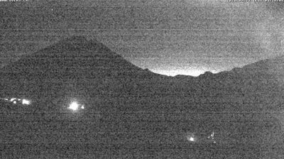
Live-Webcam

Schneebericht
- Letzte 24h (2264 m): 1 cm
- Letzte 72h (2264 m): 8 cm
- Letzte 7 Tage: Gipfel (2539 m) 14cm · Mittelstation (2264 m) 11cm · Tal (1988 m) 9cm
- Saisonsumme (2264 m): 67 cm
Skigebiete jetzt geöffnet · Schneebericht
About Avers
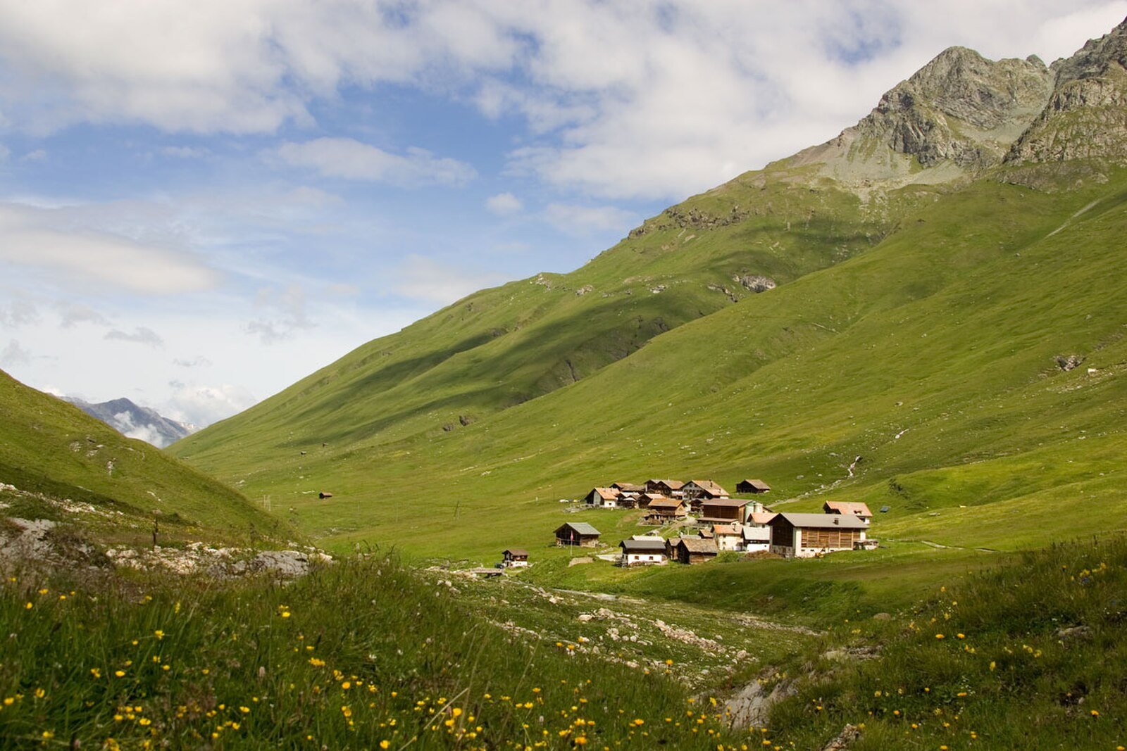
A starkly beautiful high-altitude escape where Walser heritage meets a quiet, end-of-the-road solitude away from the masses.
Highlights
- Walser timber houses
- High-alpine serenity
- Endless ski touring
- Remote mountain stillness
Key Facts
- Altitude: 1988m
- Top lift: 2539m
- Ski pistes: 8.4km
- Ski lifts: 3
- Population: 31
- Lakes nearby: 29
- MTB trails: 76.2km
- Mountain huts: 7
Ski Area
Enthalten in diesen Saisonpässen
Weather and 9-day forecast for Avers
- Today: -7 to -1 °C, snow, 0 h of sunshine
- Freezing level today: about 2020 m
- Snowfall in the last 7 days: 9 cm
| Day | Min / max | Sky | Precipitation | Sunshine |
|---|---|---|---|---|
| So., 22. Nov. | -7 / -1 °C | snow | dry | 0 h sun |
| Mo., 23. Nov. | -10 / -3 °C | overcast | dry | 1 h sun |
| Di., 24. Nov. | -10 / -4 °C | partly cloudy | dry | 4 h sun |
| Mi., 25. Nov. | -6 / -2 °C | snow | dry | 4 h sun |
| Do., 26. Nov. | -11 / -4 °C | snow | dry | 0 h sun |
| Fr., 27. Nov. | -14 / -7 °C | snow | dry | 1 h sun |
| Sa., 28. Nov. | -10 / -4 °C | clear sky | dry | 9 h sun |
| So., 29. Nov. | -10 / 0 °C | partly cloudy | dry | 3 h sun |
| Mo., 30. Nov. | -8 / -1 °C | partly cloudy | dry | 3 h sun |
Things to do in Avers
Hikes nearby - Avers (20)
20+ curated hiking trails around Avers, sourced from OpenStreetMap and enriched with distance, elevation gain and difficulty.
-
Radons - Val Faller - Tga
-
Sur-Alp Flix-Sur
-
Bivio Rundtour
-
Walserweg - Etappe 10
-
Walserweg - Etappe 9
-
Alte Averserstrasse
Die Route führt durch die wilde Roflaschlucht entlang der alten Aversstraße und folgt dem Fluss Ragn vorbei an Felsformationen und historischen Steinbogenbrücken. Jenseits von Innerferrera steigt der Weg über imposante Stützmauern und eine gut erhaltene Rheinbrücke an und durchquert offenes, teils felsiges Gelände mit wenig Schutz vor der Sonne.
-
Senda Leg Columban
From Bivio — the only Italian-speaking village north of the Alpine watershed, threaded with trails dating to Roman times — this circular route climbs past the Leg Columban mountain lake to the high point of "Uf da Flüe," where the Averstal valley and Juf, the highest permanently inhabited settlement in Europe, spread out below. The descent follows the "Steinmännliweg" past a scatter of smaller lakes via Stallerberg back to the start.
-
Gletscherhorn - 3107 m
-
Juf - Pass da Sett
-
Stallerberg - Bivio
-
02-Alpenpässe-Weg
-
Senda Segantini - Etappe 2
Von Bivio aus steigt der Weg stetig entlang einer historischen römischen Handelsroute an und bildet die zweite Etappe des Fernwanderwegs Senda Segantini durch den Parc Ela, der in Maloja endet.
-
ViaSett
-
ViaSett
-
ViaSett
Der Weg steigt durch die Region Lenzerheide vorbei an Schloss Riom — Sitz des römischen Musiktheaters «Origen» — bevor er nach Savognin hinabführt, wobei die Flüsse Albula und Gelgia den historischen Ausgangspunkt in Tiefencastel markieren, einem Dorf, das seit der Antike am Schnittpunkt der nord-südlichen und ost-westlichen Alpenrouten liegt.
-
Senda Segantini - Etappe 1
-
Pass da Sett-Maroz Dora
-
Maroz Dora-Casaccia
-
Walserweg: Juf - Tigias (Alp Flix)
-
Senda Segantini: Bivio - Maloja Posta
Mountainbiken bei Avers
- Alpine Bike - Etappe 4
- Alp Flix Bike
Getting to Avers
Door-to-door travel times as used by the MR. ALPS ranking.
- Nearest airport: Milan Malpensa International Airport (MXP), 112 km away, about 2h51 by road
- Zürich: 2h28 by car, 182 km
- Luzern: 2h47 by car, 205 km
- Milano: 2h55 by car, 204 km
- Basel: 3h25 by car, 265 km
- Brescia: 3h47 by car, 290 km
- Innsbruck: 3h50 by car, 279 km
Where to stay in Avers
23 places to stay for a night on 2026-11-27, from 215 EUR per night, median 216 EUR. Prices are direct with hotels and destinations, compared live on the Avers page.