Weisstannen
实时摄像头


开放缆车: 0%
积雪报告
- 过去24小时: 0 厘米
- 过去72小时: 0 厘米
- 过去7天: 0 厘米
- 过去7天: 山谷 0厘米 · 山腰 0厘米 · 山顶 0厘米
- 本季累计: 0 厘米
About Weisstannen
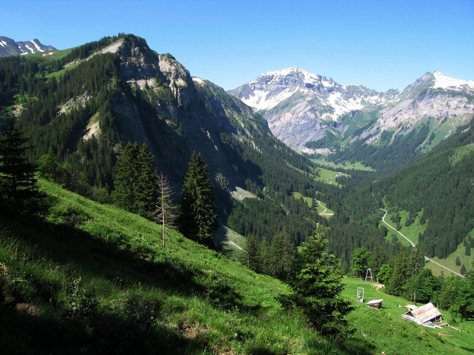
A secluded sanctuary in the Heitertal, known for its wild ibex colonies and the rhythmic thunder of the nearby waterfalls.
Highlights
- Ibex spotting
- Cascading waterfalls
- Hidden valley trails
- Rustic stone architecture
Key Facts
- Altitude: 994m
- Top lift: 1022m
- Ski lifts: 1
- Population: 294
- Lakes nearby: 15
- MTB trails: 194km
- Mountain huts: 13
Ski Area
Weather and 10-day forecast for Weisstannen
- Today: 6 to 17 °C, clear sky, 12 h of sunshine
- Freezing level today: about 3555 m (3260 to 3820 m)
| Day | Min / max | Sky | Precipitation | Sunshine |
|---|---|---|---|---|
| 9月22日周二 | 6 / 17 °C | clear sky | dry | 12 h sun |
| 9月23日周三 | 6 / 18 °C | clear sky | dry | 12 h sun |
| 9月24日周四 | 11 / 19 °C | partly cloudy | dry | 3 h sun |
| 9月25日周五 | 7 / 19 °C | clear sky | dry | 11 h sun |
| 9月26日周六 | 12 / 22 °C | partly cloudy | dry | 8 h sun |
| 9月27日周日 | 14 / 24 °C | clear sky | dry | 9 h sun |
| 9月28日周一 | 14 / 24 °C | partly cloudy | dry | 4 h sun |
| 9月29日周二 | 11 / 23 °C | clear sky | dry | 10 h sun |
| 9月30日周三 | 9 / 22 °C | clear sky | dry | 8 h sun |
| 10月1日周四 | 10 / 24 °C | clear sky | dry | 10 h sun |
Things to do in Weisstannen
Hikes nearby — Weisstannen (20)
20+ curated hiking trails around Weisstannen, sourced from OpenStreetMap and enriched with distance, elevation gain and difficulty.
-
WALSA-Weg - Etappe 2
-
Sardona-Welterbe-Weg Etappe 4
The route climbs from Weisstannen to the Sardona Hut through the UNESCO World Heritage Tectonic Arena Sardona, where the Glarus thrust fault — a ruler-straight line along which ancient rock was pushed more than 35 kilometres over younger strata — can be read directly in the landscape. Wind and millennia of weathering have carved the surrounding terrain into glacial polish, moraines, and scree slopes that remain largely intact in this little-known border country of cantons St. Gallen, Glarus, and Graubünden.
-
Sardona-Welterbe-Weg Etappe 3
The route descends through the little-known border country where the cantons of St. Gallen, Glarus, and Graubünden meet, finishing in Weisstannen beneath landscapes shaped by the Glarus thrust fault — a razor-straight geological line along which ancient rock was pushed more than 35 kilometres over younger strata. This is the place where the processes of mountain formation are, according to UNESCO, more legible than anywhere else on Earth.
-
Via Alpina
-
Via Alpina
The route from Weisstannen to Elm passes through Alp Siez and crosses the Foopass, with the high section only becoming passable after the winter snowpack melts. Along the way, walkers follow a Steinbock-Lehrpfad (ibex nature trail) beside the Seez river, with stops at remote alpine farms including Alp Raminer Matter and Bäsebeiz Walabütz.
-
Wildseeluggen-Baföni
三条瀑布——Piltschinabachfall(81米)、Sässbachfall(86米)和Muttenbachfall(45米)——并排跌入Batöni的岩石盆地,沿Gufelbach穿越森林和牧场即可抵达。路线经过联合国教科文组织世界自然遗产地Tektonikarena Sardona,以及以Pizol五湖徒步而闻名的高山湖泊Wildsee。
-
5-Seen-Wanderung
-
Garmil-Höhenwanderung
-
Sardona-Welterbe-Weg Etappe 5
-
Via Glaralpina
-
Sardona-Welterbe-Weg Etappe 2
-
Rütiwald - Garschlu
-
Schönhalden Guscha
-
Parmort Schönhalden
-
Schönhalden Guscha
-
5-Seen-Wanderung Pizol
-
Sardona-Welterbe-Weg: Spitzmeilenhütte SAC - Weisstannen
-
Sardona-Welterbe-Weg: Spitzmeilenhütte SAC - Weisstannen
-
Sardona-Welterbe-Weg: Weisstannen - Sardonahütte SAC
-
Via Alpina: Sargans - Weisstannen
Mountain biking near Weisstannen
- Alp Gamidaur Bike
- Steinweg
- Valtüschweg
Getting to Weisstannen
Door-to-door travel times as used by the MR. ALPS ranking.
- Nearest airport: Sankt Gallen Altenrhein Airport (ACH), 57 km away, about 1h by road
- Zürich: 1h22 by car, 105 km
- Luzern: 1h42 by car, 128 km
- Basel: 2h20 by car, 188 km
- Bern: 2h43 by train, 222 km
- Biel/Bienne: 2h45 by car, 226 km
- Innsbruck: 2h48 by car, 208 km