Weißenbach am Lech
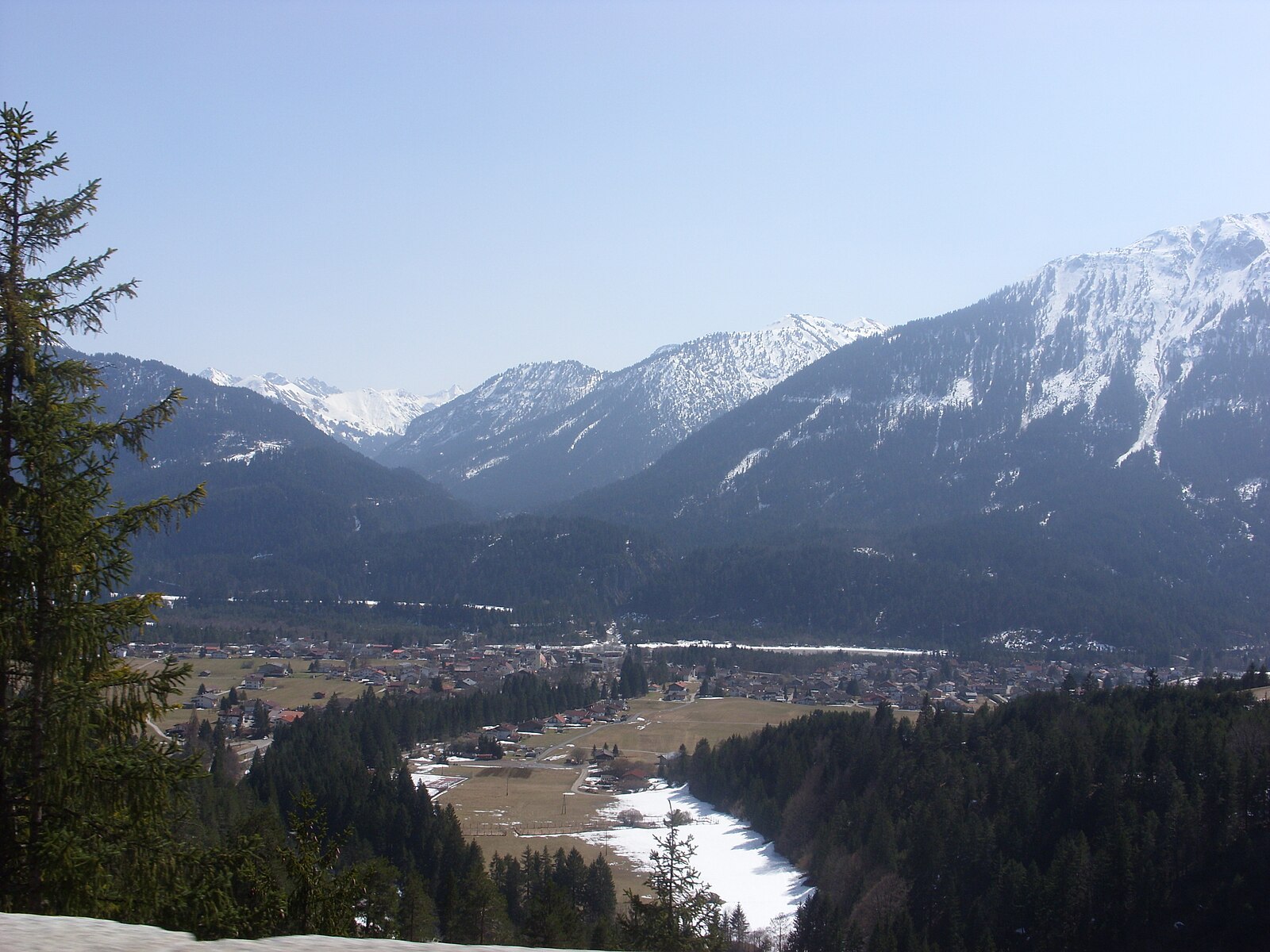
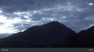
实时摄像头
积雪报告
- 过去24小时: 0 厘米
- 过去72小时: 0 厘米
- 过去7天: 0 厘米
- 过去7天: 山谷 0厘米 · 山腰 0厘米 · 山顶 0厘米
- 本季累计: 0 厘米
About Weißenbach am Lech
A tranquil riverside gateway where the wild Lech river meets quiet trails, far from the frantic pace of major Austrian ski hubs.
Highlights
- Wild river landscapes
- Authentic Tyrolean quiet
- Primal nature trails
- Cross-country hub
Key Facts
- Altitude: 910m
- Top lift: 1030m
- Ski pistes: 1km
- Ski lifts: 1
- Population: 1,250
- Lakes nearby: 23
- MTB trails: 208.7km
- Mountain huts: 36
Ski Area
Weather and 10-day forecast for Weißenbach am Lech
- Today: 4 to 15 °C, clear sky, 11 h of sunshine
- Freezing level today: about 3153 m (2850 to 3640 m)
| Day | Min / max | Sky | Precipitation | Sunshine |
|---|---|---|---|---|
| 9月22日周二 | 4 / 15 °C | clear sky | dry | 11 h sun |
| 9月23日周三 | 5 / 18 °C | clear sky | dry | 12 h sun |
| 9月24日周四 | 6 / 15 °C | overcast | dry | 2 h sun |
| 9月25日周五 | 3 / 15 °C | clear sky | dry | 12 h sun |
| 9月26日周六 | 6 / 19 °C | clear sky | dry | 10 h sun |
| 9月27日周日 | 9 / 21 °C | partly cloudy | dry | 7 h sun |
| 9月28日周一 | 13 / 22 °C | overcast | dry | 3 h sun |
| 9月29日周二 | 14 / 23 °C | clear sky | dry | 12 h sun |
| 9月30日周三 | 14 / 23 °C | clear sky | dry | 8 h sun |
| 10月1日周四 | 14 / 20 °C | drizzle | dry | 1 h sun |
Things to do in Weißenbach am Lech
Hikes nearby — Weißenbach am Lech (9)
9 curated hiking trails around Weißenbach am Lech, sourced from OpenStreetMap and enriched with distance, elevation gain and difficulty.
-
Wanderweg 427
Bärgündeletal - Prinz-Luitpold-Haus - Schwarzbachtal
-
Via Alpina Red R49
Weißenbach am Lech - Prinz-Luitpold-Haus
-
Via Alpina Red R48
This stage of the Via Alpina Red Trail descends from the Wolfratshauser Hütte into the seclusion and quiet of the Berwanger Tal, far from the bustle around the Fernpass, before continuing to Weißenbach am Lech in the Lechtal with barely any notable change in elevation.
-
Jakobsweg Tirol - Allgäu
-
Lechweg
The Lechweg follows the Lech River from its source at Formarinsee lake through one of Europe's last wild river landscapes, passing Europe's largest ibex colony, swinging suspension bridges, and mysterious waterfalls framed by the Lechtal and Allgäu Alps. The route threads through river meadows and forests before arriving at views of the Bavarian royal castles of Neuschwanstein and Hohenschwangau near Füssen.
-
Via Alpina Purple A64
Pfronten - Tannheim
-
Dürrenbergweg
-
18 Brand - Rinnen
-
23 Berwang - Rastkopf - Sattelkopf - Hönig
Mountain biking near Weißenbach am Lech
- Talumrundung Tannheim
- Meraner Steig
- Raazalpe
- Rinnen - Rieden
- Reuttener Hahnenkamm
- Alter Gaichtpass
- Kneipptour
- Shared Trail Almboden
Getting to Weißenbach am Lech
Door-to-door travel times as used by the MR. ALPS ranking.
- Nearest airport: Memmingen Allgau Airport (FMM), 67 km away, about 1h26 by road
- Innsbruck: 1h35 by car, 105 km
- München: 1h58 by car, 132 km
- Stuttgart: 2h50 by car, 246 km
- Bolzano - Bozen: 2h59 by car, 217 km
- Zürich: 3h22 by car, 255 km
- Trento: 3h30 by car, 273 km
Where to stay in Weißenbach am Lech
200 places to stay for a night on 2026-09-25, from 159 EUR per night, median 348 EUR. Prices are direct with hotels and destinations, compared live on the Weißenbach am Lech page.