Villars
实时摄像头



开放缆车: 0/30
积雪报告
- 过去24小时: 0 厘米
- 过去72小时: 0 厘米
- 过去7天: 0 厘米
- 过去7天: 山谷 0厘米 · 山腰 0厘米 · 山顶 0厘米
- 本季累计: 0 厘米
About Villars
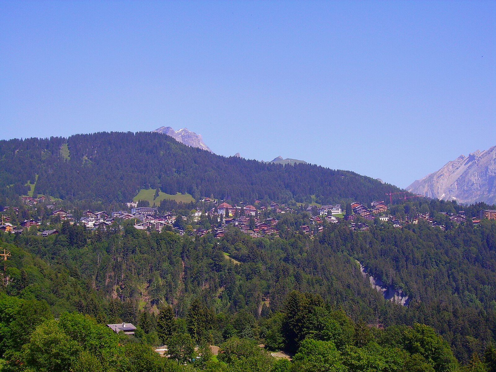
A refined balcony over the Rhone Valley where elite boarding schools meet a relaxed, family-oriented Swiss charm.
Highlights
- Elite international schools
- Sunny south-facing plateau
- Cogwheel train access
- Understated luxury vibe
Key Facts
- Altitude: 1262m
- Top lift: 2120m
- Ski pistes: 84km
- Ski lifts: 25
- Population: 7,783
- Lakes nearby: 13
- MTB trails: 287.4km
- Mountain huts: 25
Ski Area
已包含在以下滑雪通票中
Weather and 10-day forecast for Villars
- Today: 8 to 15 °C, partly cloudy, 6 h of sunshine
- Freezing level today: about 4085 m (3910 to 4610 m)
| Day | Min / max | Sky | Precipitation | Sunshine |
|---|---|---|---|---|
| 9月21日周一 | 8 / 15 °C | partly cloudy | dry | 6 h sun |
| 9月22日周二 | 9 / 16 °C | clear sky | dry | 12 h sun |
| 9月23日周三 | 9 / 15 °C | clear sky | dry | 12 h sun |
| 9月24日周四 | 9 / 15 °C | partly cloudy | dry | 5 h sun |
| 9月25日周五 | 8 / 17 °C | partly cloudy | dry | 7 h sun |
| 9月26日周六 | 8 / 18 °C | clear sky | dry | 12 h sun |
| 9月27日周日 | 9 / 20 °C | clear sky | dry | 11 h sun |
| 9月28日周一 | 10 / 19 °C | clear sky | dry | 12 h sun |
| 9月29日周二 | 6 / 19 °C | clear sky | dry | 10 h sun |
| 9月30日周三 | 7 / 19 °C | overcast | dry | 1 h sun |
Things to do in Villars
Hikes nearby — Villars (20)
20+ curated hiking trails around Villars, sourced from OpenStreetMap and enriched with distance, elevation gain and difficulty.
-
Sentier du Sel
盐径(Sentier du Sel)——"白金之路"——蜿蜒于沃州阿尔卑斯山(Vaud Alps)山麓,穿越村庄、森林、草甸与葡萄园,追溯食盐开采的历史;从Plambuit起点出发约30分钟,Salins村标志着15世纪第一处咸水泉的发现地,路线沿着昔日将盐水输送至山谷的原始落叶松木盐水管道延伸。
-
Tour des Alpes Vaudoises Étape 8
This final segment of the Tour des Alpes Vaudoises skirts the Vaud vineyards before arriving at the Bex saltworks, a vast maze of galleries.
-
Tour des Alpes Vaudoises Étape 7
-
Tour des Alpes Vaudoises Étape 6
The route crosses the historic Trechadèze, where violent clashes erupted in 1978 between the Ormonans and the Vaud republic, before climbing to the Col de la Croix, where centuries of erosion have carved gypsum pyramids into striking geological formations.
-
Tour des Alpes Vaudoises Étape 1
-
Chemin des Vignes
-
Via Alpina Stage 77: Anzeinde - Col du Demècre
-
Tour des Alpes Vaudoises Étape 2
-
Prafandaz - fixme
-
Prafandaz - fixme
-
Tour de l'Argentine
-
Luan-Ai
-
Itinéraire du Plateau de Vérossaz
-
Sentier de découverte géographique
-
Tour des Alpes Vaudoises: Gryon - Aigle
-
Tour des Alpes Vaudoises: Villars-sur-Ollon, gare - Gryon
-
Tour des Alpes Vaudoises: Les Diablerets - Villars-sur-Ollon, gare
-
Tour des Alpes Vaudoises: Aigle - Leysin-Feydey, gare
-
ViaFrancigena: Aigle - St-Maurice
-
Sentier des ponts historiques du Sépey
Mountain biking near Villars
- Alpes de la Région du Léman Bike (Stage 2, Les Diablerets - Bex)
- Alpine Bike
- Bretaye - Les Chaux - Solalex - Lavey
- Bretaye-Ollon Bike
- Taveyanne-Solalex Bike
- Barboleuse - Solalex - Barboleuse
- Les Chaux - Taveyanne - Barboleuse
- Les Chaux-Barboleuse
Getting to Villars
Door-to-door travel times as used by the MR. ALPS ranking.
- Nearest airport: Geneva International Airport (GVA), 73 km away, about 1h46 by road
- Lausanne: 52 min by car, 60 km
- Bern: 1h29 by car, 117 km
- Genève: 1h31 by car, 122 km
- Biel/Bienne: 1h57 by car, 156 km
- Annecy: 2h05 by car, 163 km
- Chambéry: 2h29 by car, 207 km
Where to stay in Villars
200 places to stay for a night on 2026-09-25, from 143 EUR per night, median 386 EUR. Prices are direct with hotels and destinations, compared live on the Villars page.