Valberg
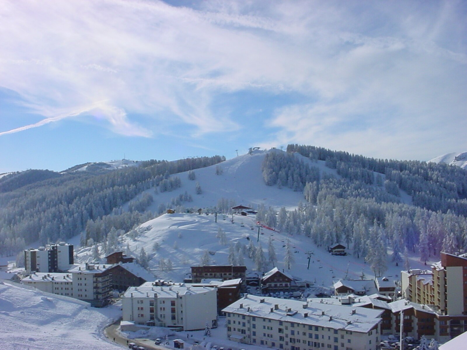
实时摄像头
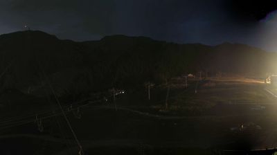
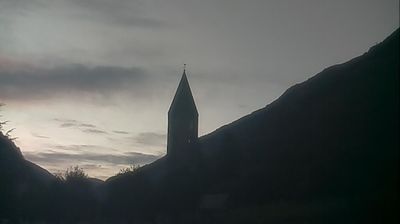
开放缆车: 0/23
积雪报告
- 过去24小时: 0 厘米
- 过去72小时: 0 厘米
- 过去7天: 0 厘米
- 过去7天: 山谷 0厘米 · 山腰 0厘米 · 山顶 0厘米
- 本季累计: 0 厘米
About Valberg
A sunny Mediterranean gateway to the Mercantour, blending family-friendly charm with red-rock scenery and a relaxed Riviera pace.
Highlights
- Red-rock gorges
- Family-first atmosphere
- Starlit night skies
- Solar-powered charm
Key Facts
- Altitude: 1412m
- Top lift: 2020m
- Ski pistes: 90km
- Ski lifts: 23
- Population: 672
- Lakes nearby: 2
- Mountain huts: 2
Ski Area
Weather and 10-day forecast for Valberg
- Today: 11 to 19 °C, mainly clear, 5 h of sunshine
- Freezing level today: about 4496 m (4290 to 4650 m)
| Day | Min / max | Sky | Precipitation | Sunshine |
|---|---|---|---|---|
| 9月22日周二 | 11 / 19 °C | mainly clear | dry | 5 h sun |
| 9月23日周三 | 10 / 17 °C | mainly clear | dry | 6 h sun |
| 9月24日周四 | 10 / 20 °C | overcast | dry | 3 h sun |
| 9月25日周五 | 9 / 17 °C | partly cloudy | dry | 5 h sun |
| 9月26日周六 | 8 / 18 °C | partly cloudy | dry | 4 h sun |
| 9月27日周日 | 10 / 18 °C | partly cloudy | dry | 5 h sun |
| 9月28日周一 | 10 / 18 °C | overcast | dry | 3 h sun |
| 9月29日周二 | 10 / 17 °C | partly cloudy | dry | 11 h sun |
| 9月30日周三 | 8 / 18 °C | drizzle | 1 mm rain | 11 h sun |
| 10月1日周四 | 6 / 16 °C | rain showers | 12 mm rain | 9 h sun |
Things to do in Valberg
Hikes nearby — Valberg (15)
15 curated hiking trails around Valberg, sourced from OpenStreetMap and enriched with distance, elevation gain and difficulty.
-
Sentier Planétaire
A path sets out next to the summer luge run and climbs steadily through the heights of Valberg, within Mercantour National Park, with each metre of trail representing one million kilometres in the solar system — making it a walk scaled to the planets. The route loops to Lac des Anguillers, offering what reviewers describe as "good astronomy for kids."
-
Circuit de Septenne
This loop departs from the small alpine village of Péone, passing through the hamlets of La Gombe and Septène along a forest track, with a well-restored chapel along the way and views over the Tuébi valley from the heights before descending into the Aigue Blanche valley.
-
Tête du Garnier
Randoxygène - Haut-Pays - Haut Cians
-
Mont Mounier
Ringed by high bars of Tithonic limestone, Mont Mounier — formerly called "mons niger" for the blackish colour of its rock — rises as the highest limestone massif in the Alpes-Maritimes and one of the finest lookouts in the Southern Alps. On the shoulder of Petit Mounier, ruins survive from an astronomical observatory built in 1893, while the summit's exceptional flora makes it a botanist's paradise within the heart of Mercantour National Park.
-
Circuit d'Amen
Randoxygène - Haut-Pays - Haut Var
-
Boucle de la Barlatte
Randoxygène - Haut-Pays - Haut Var
-
Gorges de Daluis
Randoxygène - Haut-Pays - Haut Var
-
Hameaux de Sauze
Randoxygène - Haut-Pays - Haut Var
-
Circuit Enaux-Sussis
Randoxygène - Haut-Pays - Haut Var
-
Via Alpina Blue D56
-
Boucle de Vignols
Randoxygène - Haut-Pays - Moyenne Tinée
-
Corniches du Cians
Randoxygène - Haut-Pays - Haut Cians
-
Tour du Mont Férant
Randoxygène - Haut-Pays - Haute Tinée 1
-
Circuit de Sainte-Eurosie
Randoxygène - Haut-Pays - Haute Tinée 2
-
Mont Gravières
Randoxygène - Haut-Pays - Moyenne Tinée
Mountain biking near Valberg
- Enduro verte n°7 Tetra
- Enduro bleu n°8 Pinguiller
- Enduro rouge n°9 L'oeil du Mele
- Enduro noire n°10 Giordy
Getting to Valberg
Door-to-door travel times as used by the MR. ALPS ranking.
- Nearest airport: Nice-Côte d'Azur Airport (NCE), 54 km away, about 1h31 by road
- Nice: 1h28 by car, 86 km
- Marseille: 3h26 by car, 268 km
- Torino: 3h32 by car, 219 km
- Genova: 3h37 by car, 270 km
- Grenoble: 4h31 by car, 277 km
- Milano: 5h by car, 397 km
Where to stay in Valberg
22 places to stay for a night on 2026-09-25, from 54 EUR per night, median 121 EUR. Prices are direct with hotels and destinations, compared live on the Valberg page.