St. François Longchamp
实时摄像头

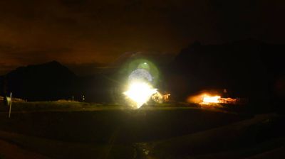
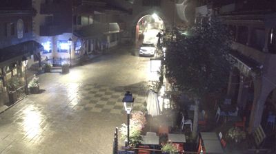
开放缆车: 0/43
积雪报告
- 过去24小时: 0 厘米
- 过去72小时: 0 厘米
- 过去7天: 0 厘米
- 过去7天: 山谷 0厘米 · 山腰 0厘米 · 山顶 0厘米
- 本季累计: 0 厘米
About St. François Longchamp
A family-oriented Savoie outpost known for wide, sun-drenched slopes and a relaxed, unpretentious atmosphere.
Highlights
- Gentle sunny terrain
- Family-first vibe
- Panoramic pass views
- Understated mountain charm
Key Facts
- Altitude: 1402m
- Top lift: 2403m
- Ski pistes: 165km
- Ski lifts: 47
- Population: 487
- Lakes nearby: 11
- MTB trails: 101.2km
- Mountain huts: 13
Ski Area
Le Grand Domaine – Valmorel/Doucy/Celliers/St François Longchamp
Weather and 10-day forecast for St. François Longchamp
- Today: 8 to 18 °C, partly cloudy, 7 h of sunshine
- Freezing level today: about 4310 m (4160 to 4460 m)
| Day | Min / max | Sky | Precipitation | Sunshine |
|---|---|---|---|---|
| 9月20日周日 | 8 / 18 °C | partly cloudy | dry | 7 h sun |
| 9月21日周一 | 9 / 17 °C | overcast | dry | 2 h sun |
| 9月22日周二 | 8 / 17 °C | clear sky | dry | 12 h sun |
| 9月23日周三 | 9 / 17 °C | clear sky | dry | 12 h sun |
| 9月24日周四 | 9 / 18 °C | partly cloudy | dry | 6 h sun |
| 9月25日周五 | 10 / 19 °C | clear sky | dry | 11 h sun |
| 9月26日周六 | 9 / 19 °C | clear sky | dry | 12 h sun |
| 9月27日周日 | 10 / 19 °C | overcast | dry | 1 h sun |
| 9月28日周一 | 4 / 17 °C | clear sky | dry | 12 h sun |
| 9月29日周二 | 4 / 18 °C | partly cloudy | dry | 5 h sun |
Things to do in St. François Longchamp
Hikes nearby — St. François Longchamp (12)
12 curated hiking trails around St. François Longchamp, sourced from OpenStreetMap and enriched with distance, elevation gain and difficulty.
-
Cheval Noir
The Cheval Noir trail climbs to the highest point in the area — the summit at 2,832 metres — through alpine terrain that takes in forests and mountain pastures, with panoramic views stretching to Mont Blanc, the Belledonne range, and the Aiguilles d'Arves.
-
Col de la Madeleine
-
Désouverte du vallon de Plan du Lai, montée a la Croix de Rognier
Vue panoramique de la Croix de Rognier avec sa table d'orientation
-
Perrière par col de la Frêche et col d'Arpingon
-
Découverte du vallon de la Pierre et de la Valette
-
Croix Blanche - Arpingon - Cuchet
-
B01 - Le Plan de la Lie
-
B03 - Le Grand Coin
-
B02 - Le tour de l'Armélaz
-
B04 - Le tour des villages de Montvernier
-
B05 - Le Balcon des Plagnes
-
B06 - Le Balcon du Rocher aux Chamois
Mountain biking near St. François Longchamp
- Mad'Bike
- VTT/VAE Col du paradis
- VTT/VAE Mer de l'eau
- VTT/VAE Les Paquiers
- VTT/VAE Lac du Loup
- Blackhorse
- Starlight
- DH Blackhorse
Getting to St. François Longchamp
Door-to-door travel times as used by the MR. ALPS ranking.
- Nearest airport: Lyon Saint-Exupéry Airport (LYS), 104 km away, about 1h54 by road
- Chambéry: 1h by car, 79 km
- Grenoble: 1h23 by car, 110 km
- Annecy: 1h32 by car, 126 km
- Genève: 1h59 by car, 164 km
- Torino: 2h09 by car, 156 km
- Lyon: 2h10 by car, 176 km
Where to stay in St. François Longchamp
37 places to stay for a night on 2026-09-25, from 68 EUR per night, median 80 EUR. Prices are direct with hotels and destinations, compared live on the St. François Longchamp page.