Sattel – Hochstuckli
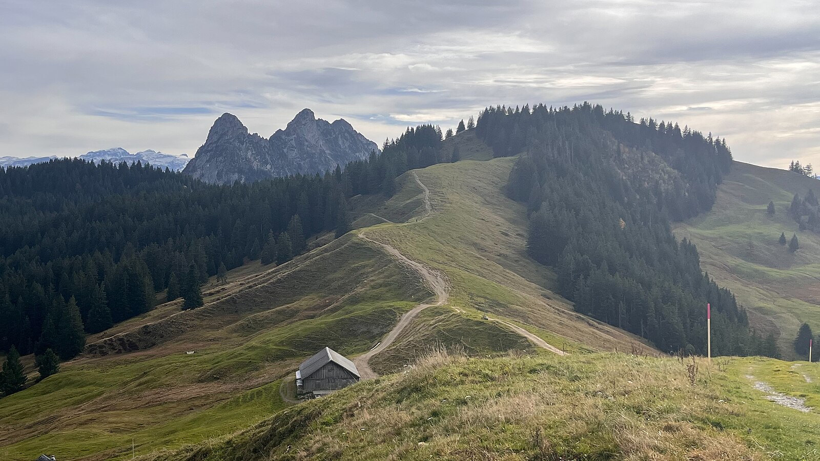
实时摄像头
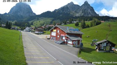
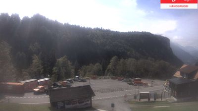
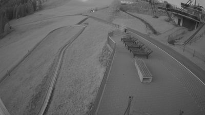
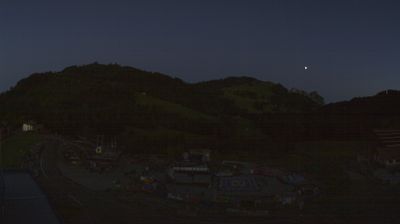
开放缆车: 0/5
积雪报告
- 过去24小时: 0 厘米
- 过去72小时: 0 厘米
- 过去7天: 0 厘米
- 过去7天: 山谷 0厘米 · 山腰 0厘米 · 山顶 0厘米
- 本季累计: 0 厘米
About Sattel – Hochstuckli
A family-centric playground where rotating gondolas and summer toboggans define the quintessential low-altitude Swiss weekend escape.
Highlights
- Rotating gondola views
- Year-round family fun
- Suspension bridge thrills
- Gentle hillside slopes
Key Facts
- Altitude: 780m
- Top lift: 1491m
- Ski pistes: 3km
- Ski lifts: 6
- Population: 2,066
- Lakes nearby: 12
- MTB trails: 159.9km
- Mountain huts: 8
Ski Area
已包含在以下滑雪通票中
Weather and 10-day forecast for Sattel – Hochstuckli
- Today: 8 to 18 °C, clear sky, 12 h of sunshine
- Freezing level today: about 3765 m (3500 to 4020 m)
| Day | Min / max | Sky | Precipitation | Sunshine |
|---|---|---|---|---|
| 9月22日周二 | 8 / 18 °C | clear sky | dry | 12 h sun |
| 9月23日周三 | 8 / 20 °C | clear sky | dry | 12 h sun |
| 9月24日周四 | 10 / 18 °C | overcast | 0 mm rain | 1 h sun |
| 9月25日周五 | 7 / 17 °C | clear sky | dry | 12 h sun |
| 9月26日周六 | 9 / 21 °C | partly cloudy | dry | 4 h sun |
| 9月27日周日 | 11 / 22 °C | partly cloudy | dry | 4 h sun |
| 9月28日周一 | 10 / 24 °C | clear sky | dry | 10 h sun |
| 9月29日周二 | 10 / 24 °C | clear sky | dry | 11 h sun |
| 9月30日周三 | 13 / 23 °C | overcast | dry | 12 h sun |
| 10月1日周四 | 16 / 22 °C | overcast | dry | 11 h sun |
Things to do in Sattel – Hochstuckli
Hikes nearby — Sattel – Hochstuckli (20)
20+ curated hiking trails around Sattel – Hochstuckli, sourced from OpenStreetMap and enriched with distance, elevation gain and difficulty.
-
Schwyzer Höhenweg - Etappe 5
The route circles behind the Mythen massif, where a backward glance reveals the Lauerzersee and the Grosser Mythen — which, seen from the Furggelenstock, bears a striking resemblance to the Matterhorn. The trail ends in Einsiedeln, a town defined by its towering monastery church and well-preserved historic centre.
-
Schwyzer Höhenweg - Etappe 3
-
Schwyzer Höhenweg - Etappe 4
The route passes the Mostelberg, home to the world's first rotating gondola, and crosses the Raiffeisen-Skywalk, one of the longest suspension bridges in Europe. Along the way, walkers are rewarded with views of the Haggenspitz and the distinctive twin peaks of the Grosse and Kleine Mythen, as well as sweeping panoramas down into the Ägerital.
-
Panoramaweg Aegerital
The Panoramaweg Ägerital runs along a ridge with views down both sides — Lake Zurich to the north and Lake Aegeri plus the Uri Alps to the south — passing through dense fir forest near the Raten Pass (1077 m), a low pass road between the Ägerisee and the Rothenthurm High Moor. It also forms part of National Trail No. 3, the Alpine Panorama Trail.
-
Sattel Talstation - Mostelberg
-
Mäderenweg
-
Bahnhof Sattel Ägeri - Obhegkapelle
-
Hasenmatt - Rapperen
-
Obhegkapelle - Talacher? / Steinen? - fixme
-
Urzlenboden - Geissfaren
-
Ramenegg - Nas
-
Rossallmig - Resti
-
Urzlenboden - Stutzhütte
-
Alpenpanorama-Weg
-
Alpenpanorama-Weg
-
Schwyzer Höhenweg: Bahnhof Sattel - Holzegg
-
Schwyzer Höhenweg: Goldau - Bahnhof Sattel
-
Goldauer Bergsturzspur
-
ViaJacobi: Einsiedeln Bahnhof[+Pikto] - Schwyz Hauptplatz
-
Mythenweg
Mountain biking near Sattel – Hochstuckli
- Brunnen Tour
- Bahnentour Mytehnregion Hoch-Ybrig
- MTB Naastrail
Getting to Sattel – Hochstuckli
Door-to-door travel times as used by the MR. ALPS ranking.
- Nearest airport: Zürich Airport (ZRH), 43 km away, about 1h01 by road
- Luzern: 40 min by car, 46 km
- Zürich: 44 min by car, 47 km
- Basel: 1h38 by car, 134 km
- Biel/Bienne: 1h48 by car, 147 km
- Bern: 1h49 by car, 148 km
- Lausanne: 2h57 by car, 251 km
Where to stay in Sattel – Hochstuckli
32 places to stay for a night on 2026-09-25, from 123 EUR per night, median 224 EUR. Prices are direct with hotels and destinations, compared live on the Sattel – Hochstuckli page.