Salvan
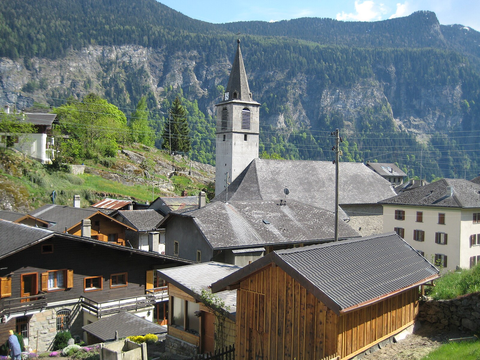
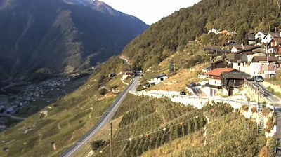
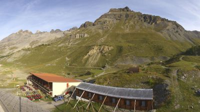
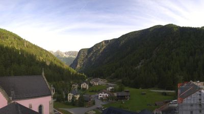
实时摄像头
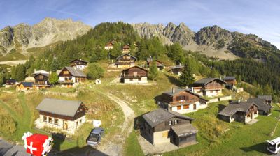
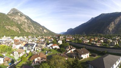
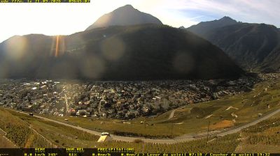
开放缆车: 0%
积雪报告
- 过去24小时: 0 厘米
- 过去72小时: 0 厘米
- 过去7天: 0 厘米
- 过去7天: 山谷 0厘米 · 山腰 0厘米 · 山顶 0厘米
- 本季累计: 0 厘米
About Salvan
A quiet artistic enclave perched above the Rhone Valley, celebrated for its pioneering radio history and rugged mountaineering heritage.
Highlights
- Marconi heritage
- Granite rock climbing
- Authentic stone houses
- Wild valley views
Key Facts
- Altitude: 1124m
- Top lift: 2220m
- Ski pistes: 9km
- Ski lifts: 4
- Population: 1,442
- 4000m+ peaks nearby: 3
- Lakes nearby: 11
- MTB trails: 8.4km
- Mountain huts: 24
Ski Area
已包含在以下滑雪通票中
Weather and 10-day forecast for Salvan
- Today: 9 to 17 °C, clear sky, 9 h of sunshine
- Freezing level today: about 4227 m (4120 to 4310 m)
| Day | Min / max | Sky | Precipitation | Sunshine |
|---|---|---|---|---|
| 9月20日周日 | 9 / 17 °C | clear sky | dry | 9 h sun |
| 9月21日周一 | 10 / 16 °C | overcast | dry | 2 h sun |
| 9月22日周二 | 9 / 16 °C | clear sky | dry | 12 h sun |
| 9月23日周三 | 8 / 16 °C | clear sky | dry | 12 h sun |
| 9月24日周四 | 8 / 16 °C | clear sky | dry | 9 h sun |
| 9月25日周五 | 6 / 14 °C | clear sky | dry | 12 h sun |
| 9月26日周六 | 6 / 17 °C | clear sky | dry | 12 h sun |
| 9月27日周日 | 9 / 21 °C | clear sky | dry | 12 h sun |
| 9月28日周一 | 8 / 20 °C | clear sky | dry | 12 h sun |
| 9月29日周二 | 8 / 19 °C | clear sky | dry | 12 h sun |
Things to do in Salvan
Hikes nearby — Salvan (20)
20+ curated hiking trails around Salvan, sourced from OpenStreetMap and enriched with distance, elevation gain and difficulty.
-
Chemin Rhin-Reuss-Rhône
Étape 11 Saillon - Martigny
-
Via Alpina Stage 79: Vernayaz - Trient
-
Via Alpina Stage 78: Col du Demècre - Vernayaz
From Col du Demècre, the route passes through the Portail de Fully and over a ridge that opens views across both lower and upper Valais, before a steep descent toward Champex and Dorénaz — with an aerial cable car as an alternative for that punishing section. The stage finishes by crossing the Rhone plateau to reach Pissevache and Vernayaz.
-
38-Chemin des cols alpins
-
39-Chemin des cols alpins
-
Tour de la Vallée du Trient
这条五日环线穿越瑞士和法国,途经Trento、Trège和Dailley的野性峡谷,以及Salanfe和Emosson水库——后者水边至今保存有恐龙足迹——全程以Trient冰川和勃朗峰(Mont Blanc)山体为天际线的主角。
-
Tour des Deux Rives
-
Tour des Dents du Midi
这条多日环形路线围绕一座长3公里、拥有七座海拔均超过3,000米山峰的山体展开——最高峰为海拔3,257米的Haute Cime——路线穿越嶙峋的山口、清澈的高山湖泊、冰川、瀑布与森林,而Dents du Midi锯齿状的轮廓高悬其上,从Illiez山谷和罗讷河谷均清晰可见。这条路线于1972年正式开辟,是瓦莱州徒步路线的先驱,其渊源可追溯至一场影响该路径近40年的山地越野赛。
-
Tour du Vallon de Van
-
Coude du Rhône - Dorénaz
-
Coude du Rhône - Vernayaz
-
Dorénaz - Vernayaz
-
Chemin des vignes en terrasses
-
Dorénaz - Pont de Dorénaz
-
Géoglyphe de Grande Tête
-
Pont de Dorénaz - Branson - Pont du Rhône
-
Sentier du Balcon du Mont-Blanc
-
ViaFrancigena
-
Alpenpässe-Weg: Emosson Barrage - Salanfe
-
Sentier de Salanfe
Getting to Salvan
Door-to-door travel times as used by the MR. ALPS ranking.
- Nearest airport: Geneva International Airport (GVA), 71 km away, about 1h49 by road
- Lausanne: 1h07 by car, 80 km
- Bern: 1h44 by car, 137 km
- Genève: 1h46 by car, 143 km
- Biel/Bienne: 2h11 by car, 177 km
- Annecy: 2h16 by car, 148 km
- Chambéry: 2h41 by car, 192 km
Where to stay in Salvan
58 places to stay for a night on 2026-09-25, from 95 EUR per night, median 206 EUR. Prices are direct with hotels and destinations, compared live on the Salvan page.