Ruffrè – Monte Nock
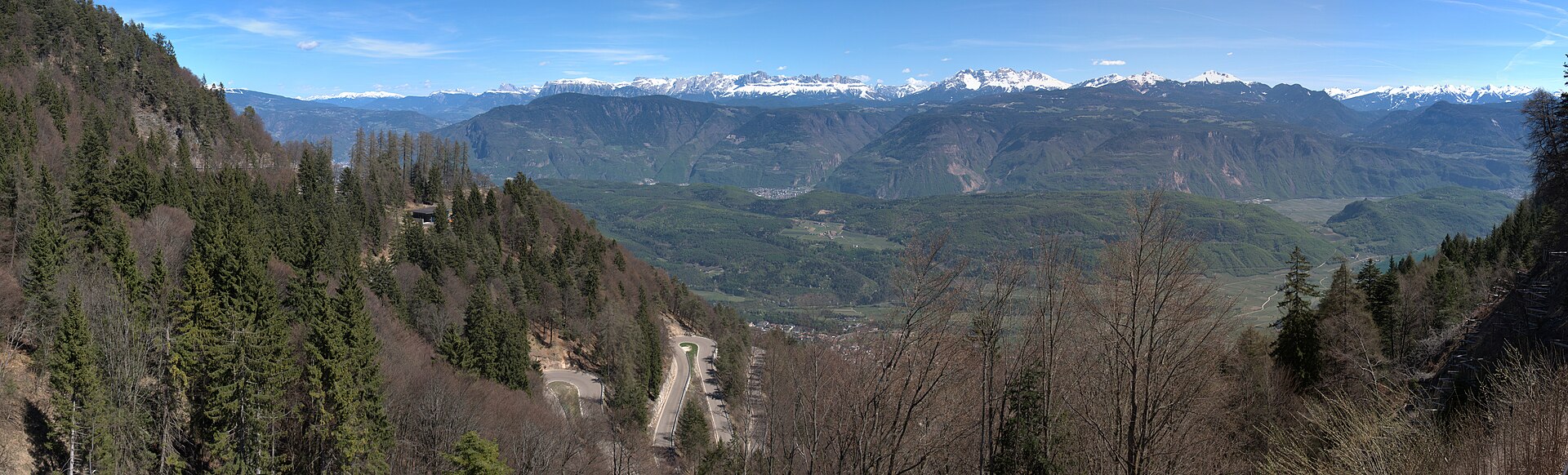
实时摄像头
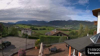
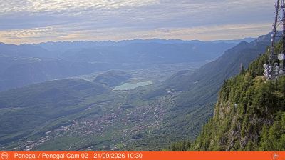
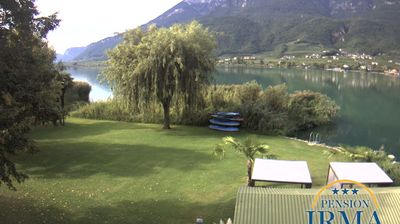
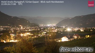
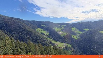
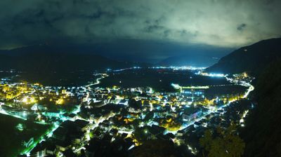
开放缆车: 0%
积雪报告
- 过去24小时: 0 厘米
- 过去72小时: 0 厘米
- 过去7天: 0 厘米
- 过去7天: 山谷 0厘米 · 山腰 0厘米 · 山顶 0厘米
- 本季累计: 0 厘米
About Ruffrè – Monte Nock
A secluded Trentino retreat where Austro-Hungarian heritage meets quiet forest trails and a slow-paced, nostalgic mountain charm.
Highlights
- Habsburg era architecture
- Dense pine forests
- Traditional Ladin culture
- Quiet winter escapes
Key Facts
- Altitude: 1221m
- Top lift: 1342m
- Ski pistes: 1km
- Ski lifts: 1
- Population: 409
- Lakes nearby: 14
- MTB trails: 224km
- Mountain huts: 9
Ski Area
Weather and 10-day forecast for Ruffrè – Monte Nock
- Today: 7 to 14 °C, partly cloudy, 8 h of sunshine
- Freezing level today: about 3587 m (3100 to 3780 m)
| Day | Min / max | Sky | Precipitation | Sunshine |
|---|---|---|---|---|
| 9月23日周三 | 7 / 14 °C | partly cloudy | dry | 8 h sun |
| 9月24日周四 | 8 / 17 °C | overcast | dry | 1 h sun |
| 9月25日周五 | 7 / 17 °C | clear sky | dry | 9 h sun |
| 9月26日周六 | 7 / 18 °C | clear sky | dry | 12 h sun |
| 9月27日周日 | 8 / 20 °C | clear sky | dry | 12 h sun |
| 9月28日周一 | 5 / 20 °C | clear sky | dry | 12 h sun |
| 9月29日周二 | 5 / 20 °C | clear sky | dry | 11 h sun |
| 9月30日周三 | 5 / 19 °C | clear sky | dry | 10 h sun |
| 10月1日周四 | 9 / 19 °C | partly cloudy | dry | 6 h sun |
| 10月2日周五 | 9 / 18 °C | drizzle | dry | 8 h sun |
Things to do in Ruffrè – Monte Nock
Hikes nearby — Ruffrè – Monte Nock (19)
19 curated hiking trails around Ruffrè – Monte Nock, sourced from OpenStreetMap and enriched with distance, elevation gain and difficulty.
-
Kalterer Höhenweg - Alta via di Caldaro
The trail runs almost constantly at roughly one third of the height of the Mendel slope, tracing a high contour path from the Kalterer Höhe in the north to the Gummererhof farm above Tramin in the south. At the Mendelpass, the route crosses the provincial and linguistic boundary between South Tyrol and Trentino, with the Roen — at 2,116 m the highest peak of the Mendel ridge — rising above.
-
Naturerlebnisweg
-
Via Vigilius - Tappa 3
-
Via Vigilius - Tappa 4
-
Sentiero alpinistico attrezzato delle Cime
-
Cammino Jacopeo d'Anaunia - Prima Tappa
-
Passeggiata 3 Molini
-
Sentiero attrezzato del Mondino "Edmondo Janes"
-
Via delle Regole
-
Cammino del beato Enrico - Tappa 2
-
Mendelsteig - Sentiero della Mendola
-
Telefonsteig
-
Prazollsteig
-
Cammino del beato Enrico - Tappa 1
-
Sentiero Frassati - Tappa 7 via per Smarano
-
Cammino Jacopeo d'Anaunia
-
Eppaner Höhenweg - Alta Via di Appiano
-
Burgenweg
-
Gewürztraminerweg
Mountain biking near Ruffrè – Monte Nock
- 538 Prazollersteig
- Via Roen
- Strada forestale Pian del Cason
Getting to Ruffrè – Monte Nock
Door-to-door travel times as used by the MR. ALPS ranking.
- Nearest airport: Bolzano Airport (BZO), 12 km away, about 38 min by road
- Bolzano - Bozen: 37 min by car, 32 km
- Trento: 59 min by car, 53 km
- Verona: 1h57 by car, 149 km
- Innsbruck: 2h09 by car, 154 km
- Brescia: 2h28 by car, 185 km
- Padova: 2h42 by car, 228 km
Where to stay in Ruffrè – Monte Nock
200 places to stay for a night on 2026-09-25, from 138 EUR per night, median 296 EUR. Prices are direct with hotels and destinations, compared live on the Ruffrè – Monte Nock page.