Rougemont
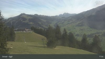
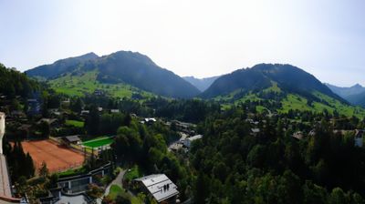
实时摄像头

开放缆车: 0/9
积雪报告
- 过去24小时: 0 厘米
- 过去72小时: 0 厘米
- 过去7天: 0 厘米
- 过去7天: 山谷 0厘米 · 山腰 0厘米 · 山顶 0厘米
- 本季累计: 0 厘米
About Rougemont
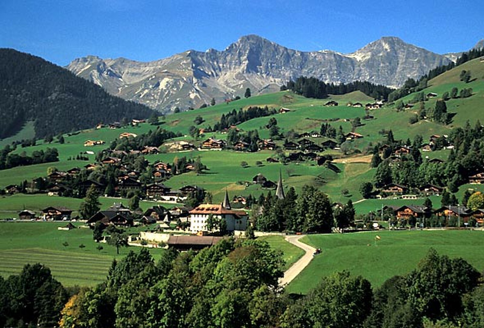
A refined enclave of heritage chalets where Gstaad’s elite escape for authentic serenity and discreet luxury.
Highlights
- Ornate wooden chalets
- Understated luxury
- Gourmet dining
- Quiet mountain charm
Key Facts
- Altitude: 992m
- Top lift: 2151m
- Ski pistes: 58km
- Ski lifts: 9
- Population: 1,668
- Lakes nearby: 9
- MTB trails: 35.6km
- Mountain huts: 12
Ski Area
已包含在以下滑雪通票中
Weather and 10-day forecast for Rougemont
- Today: 6 to 16 °C, clear sky, 12 h of sunshine
- Freezing level today: about 4293 m (4100 to 4470 m)
| Day | Min / max | Sky | Precipitation | Sunshine |
|---|---|---|---|---|
| 9月22日周二 | 6 / 16 °C | clear sky | dry | 12 h sun |
| 9月23日周三 | 7 / 16 °C | clear sky | dry | 12 h sun |
| 9月24日周四 | 7 / 16 °C | overcast | dry | 2 h sun |
| 9月25日周五 | 4 / 14 °C | clear sky | dry | 9 h sun |
| 9月26日周六 | 6 / 16 °C | clear sky | dry | 10 h sun |
| 9月27日周日 | 8 / 19 °C | overcast | dry | 2 h sun |
| 9月28日周一 | 7 / 20 °C | clear sky | dry | 12 h sun |
| 9月29日周二 | 8 / 21 °C | clear sky | dry | 12 h sun |
| 9月30日周三 | 9 / 19 °C | overcast | dry | 2 h sun |
| 10月1日周四 | 8 / 19 °C | drizzle | dry | 1 h sun |
Things to do in Rougemont
Hikes nearby — Rougemont (20)
20+ curated hiking trails around Rougemont, sourced from OpenStreetMap and enriched with distance, elevation gain and difficulty.
-
Tour des Alpes Vaudoises Étape 4
-
Le Grand Tour des Vanils
From the Grand Chalet de Rossinière to the Auberge de la Croix de Fer in Allières, the route threads through forests and alpine pastures — the same grasslands that ultimately produce cheese — with panoramic views sweeping across the Dent de Corjon, the Vanils, and the Gummfluh.
-
Chemin de la Sarine au Pays-d'Enhaut
-
Tour Tête de la Minaude
A north-facing loop around the Tête de la Minaude, the trail follows the Gérine stream as it tumbles down the slope, with the rocky summits of the Gummfluh, Brecaca, and Biolet rising directly across the valley. The north-facing terrain holds snow well into May, and the route passes through intact, wild country on a vehicle track closed to traffic.
-
Via Alpina Red R103
Lauenen - Gsteig
-
Via Alpina
-
Via Alpina
-
Tour des Alpes Vaudoises Étape 3
-
Les Marindes-Motélon
-
Motélon-La Gueyre
-
Eggweid Mittelstation - Oeschseite
-
Tour des Alpes Vaudoises: Château-d'Oex, gare - L'Etivaz
-
Via Alpina: Gstaad - L'Etivaz
-
Freiburger Voralpenweg: Chalet du Soldat - Château-d'Oex, gare
-
Via Alpina: L'Etivaz - Rossinière, gare
-
Horneggli-Panoramaweg
-
Gastlosen Tour
-
Tour des Alpes Vaudoises: Col des Mosses - Château-d'Oex, gare
-
L’Intyamon de Montbovon à la Brâ
-
Hundsrügg-Panoramaweg
Mountain biking near Rougemont
- Alpine Bike - Etappe 15
Getting to Rougemont
Door-to-door travel times as used by the MR. ALPS ranking.
- Nearest airport: Geneva International Airport (GVA), 89 km away, about 2h04 by road
- Lausanne: 1h16 by car, 88 km
- Bern: 1h19 by car, 93 km
- Biel/Bienne: 1h47 by car, 132 km
- Genève: 1h55 by car, 150 km
- Luzern: 2h18 by car, 139 km
- Basel: 2h22 by car, 187 km
Where to stay in Rougemont
172 places to stay for a night on 2026-09-25, from 256 EUR per night, median 473 EUR. Prices are direct with hotels and destinations, compared live on the Rougemont page.