Rinerhorn
实时摄像头
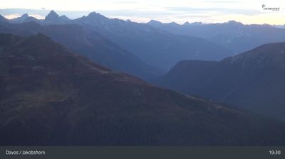
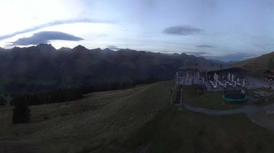
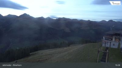
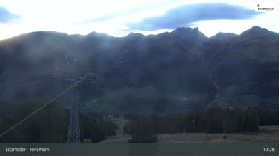
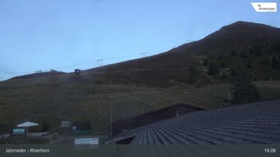
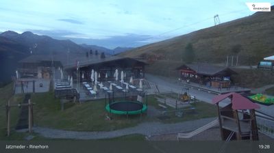
开放缆车: 0/56
积雪报告
- 过去24小时: 0 厘米
- 过去72小时: 0 厘米
- 过去7天: 0 厘米
- 过去7天: 山谷 0厘米 · 山腰 0厘米 · 山顶 0厘米
- 本季累计: 12.5 厘米
About Rinerhorn
A local Davos secret favored for its rustic mountain huts and thrilling sledding runs away from the high-society crowds.
Highlights
- Rustic mountain huts
- Epic sledding runs
- Family-oriented slopes
- Underrated local gem
Key Facts
- Altitude: 1560m
- Top lift: 2490m
- Ski pistes: 51km
- Ski lifts: 7
- Lakes nearby: 16
- MTB trails: 166.3km
- Mountain huts: 10
Ski Area
已包含在以下滑雪通票中
Weather and 10-day forecast for Rinerhorn
- Today: 7 to 16 °C, clear sky, 8 h of sunshine
- Freezing level today: about 4087 m (3640 to 4260 m)
| Day | Min / max | Sky | Precipitation | Sunshine |
|---|---|---|---|---|
| 9月20日周日 | 7 / 16 °C | clear sky | dry | 8 h sun |
| 9月21日周一 | 5 / 12 °C | overcast | dry | 3 h sun |
| 9月22日周二 | 4 / 12 °C | clear sky | dry | 10 h sun |
| 9月23日周三 | 3 / 15 °C | clear sky | dry | 9 h sun |
| 9月24日周四 | 0 / 6 °C | rain showers | dry | 2 h sun |
| 9月25日周五 | 0 / 12 °C | clear sky | dry | 12 h sun |
| 9月26日周六 | 5 / 16 °C | clear sky | dry | 12 h sun |
| 9月27日周日 | 7 / 19 °C | clear sky | dry | 11 h sun |
| 9月28日周一 | 7 / 19 °C | clear sky | dry | 12 h sun |
| 9月29日周二 | 8 / 18 °C | clear sky | dry | 12 h sun |
Things to do in Rinerhorn
Hikes nearby — Rinerhorn (20)
20+ curated hiking trails around Rinerhorn, sourced from OpenStreetMap and enriched with distance, elevation gain and difficulty.
-
Walserweg - Etappe 12
Leaving the remote Chamonas d'Ela SAC refuge, the route descends steeply through Val Spadlatscha into the Albula Valley near Filisur, passing beneath the Muchetta massif across rugged scree fields and avalanche paths secured by safety chains. The stage finishes at the sunny terrace of Davos Monstein.
-
Walserweg - Etappe 14
This stage of the Walserweg long-distance trail through the canton of Graubünden runs as a point-to-point route from Sertig Dörfli — a small mountain village with a little church, set in the Sertigtal valley beneath peaks including the Mittagshorn, Plattenflue, and Hoch Ducan — into Davos. The trail begins in a landscape described as "hinter den Eggen," where cattle graze on pastures and a village fountain murmurs beside a handful of houses.
-
Walserweg - Etappe 15
-
Walserweg - Etappe 13
The trail begins at the Rinerhorn cable car's mountain station and traverses open terrain, passing through Jatzmäder and over the Äbirügge ridge before descending to the hamlet of Sertig Dörfli.
-
Jetzmeder Rinerhorn - Hauderalp
-
Sertig Sand - Jetzmeder Rinerhorn
-
Monstein - Spina
-
Davos - Clavadel
-
Alpenweg Davos
A high-altitude traverse along the sunny side of the Landwasser valley, the Alpenweg Davos runs as a point-to-point route from the Höhenweg station down to Glaris, delivering a magnificent mountain panorama throughout.
-
Jakobshorn - Ischalp
-
Steig - Ardusch
-
Monstein - Jenisberg
This loop trail begins in the small mountain village of Davos Monstein, drops down to the Landwasser Bach, and follows the river to Jenisberg before returning through the Schwabentobel area on forest paths.
-
Via son Giachen
-
Mittelbünden-Panoramaweg Stage 2
-
Via son Giachen
-
Walserweg: Davos Monstein - Sertig Dörfli
-
Walserweg: Davos Platz Bahnhof - Arosa Obersee
-
Walserweg: Sertig Dörfli - Davos Platz Bahnhof
-
Jakobsweg Graubünden: Dürrboden - Davos Dorf
-
Alter Zügenweg
Mountain biking near Rinerhorn
- Rinerhorn / Sertig
- Rinerhornstrasse
- Leidbachmederweg
- Sältenüebweg
- Stadleralpaweg
- Spinerweg
- Witibärgweg
Getting to Rinerhorn
Door-to-door travel times as used by the MR. ALPS ranking.
- Nearest airport: Bodensee Airport Friedrichshafen (FDH), 106 km away, about 2h34 by road
- Zürich: 2h57 by car, 161 km
- Luzern: 3h17 by car, 184 km
- Innsbruck: 3h31 by car, 191 km
- Bolzano - Bozen: 3h51 by car, 180 km
- Basel: 3h55 by car, 244 km
- Milano: 4h03 by car, 237 km
Where to stay in Rinerhorn
200 places to stay for a night on 2026-09-25, from 106 EUR per night, median 230 EUR. Prices are direct with hotels and destinations, compared live on the Rinerhorn page.