Reckingen-Gluringen
实时摄像头
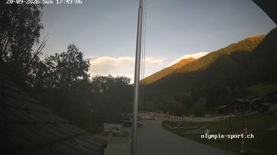

开放缆车: 0%
积雪报告
- 过去24小时: 0 厘米
- 过去72小时: 0 厘米
- 过去7天: 0 厘米
- 过去7天: 山谷 0厘米 · 山腰 0厘米 · 山顶 0厘米
- 本季累计: 6.9 厘米
About Reckingen-Gluringen
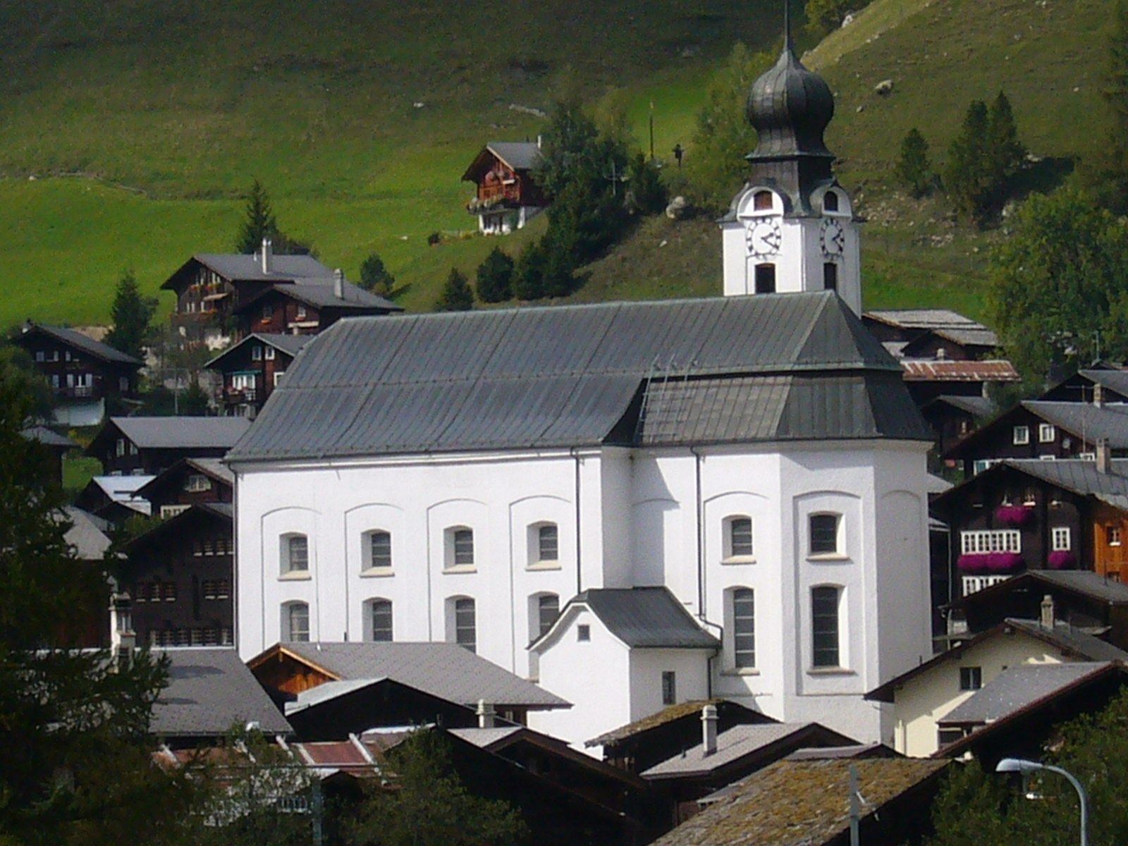
A quiet bastion of Goms tradition where sun-blackened timber houses meet some of the world's most pristine cross-country trails.
Highlights
- Baroque church architecture
- Goms timber chalets
- Nordic skiing hub
- Authentic village life
Key Facts
- Altitude: 1316m
- Top lift: 1445m
- Ski pistes: 1km
- Ski lifts: 2
- Population: 436
- 4000m+ peaks nearby: 7
- Lakes nearby: 33
- MTB trails: 27.9km
- Mountain huts: 21
Ski Area
已包含在以下滑雪通票中
Weather and 10-day forecast for Reckingen-Gluringen
- Today: 9 to 22 °C, partly cloudy, 6 h of sunshine
- Freezing level today: about 4261 m (4070 to 4410 m)
| Day | Min / max | Sky | Precipitation | Sunshine |
|---|---|---|---|---|
| 9月20日周日 | 9 / 22 °C | partly cloudy | dry | 6 h sun |
| 9月21日周一 | 9 / 21 °C | overcast | dry | 2 h sun |
| 9月22日周二 | 9 / 19 °C | clear sky | dry | 12 h sun |
| 9月23日周三 | 9 / 19 °C | clear sky | dry | 11 h sun |
| 9月24日周四 | 9 / 19 °C | partly cloudy | dry | 7 h sun |
| 9月25日周五 | 11 / 19 °C | overcast | dry | 1 h sun |
| 9月26日周六 | 12 / 20 °C | clear sky | dry | 12 h sun |
| 9月27日周日 | 14 / 21 °C | overcast | dry | 3 h sun |
| 9月28日周一 | 10 / 22 °C | clear sky | dry | 12 h sun |
| 9月29日周二 | 7 / 22 °C | clear sky | dry | 9 h sun |
Things to do in Reckingen-Gluringen
Hikes nearby — Reckingen-Gluringen (20)
20+ curated hiking trails around Reckingen-Gluringen, sourced from OpenStreetMap and enriched with distance, elevation gain and difficulty.
-
9 Seen-Weg
The 9 Seen-Weg departs from the Grimselpass and follows a path with alpine character past the Trützisee before descending to Geschinen. The route runs far above the valley floor, threading through dramatic high-alpine scenery on its way between nine lakes.
-
14a-Sentiero dei passi alpini
-
Rottenweg
The Rottenweg traces the young Rhone — locally called the Rotten — along the floor of Obergoms, threading from village to village across wide meadows and through bright forests. The route runs the full length of Obergoms from Oberwald to Niederwald, keeping to practically flat ground the entire way.
-
Geschinen - Galehitte
-
Ulrichen - Geschinen
The trail begins at Münster's train station and follows the young river Rotten along the edge of the small town before continuing through the valley toward Ulrichen and Geschinen.
-
Geschinen - Trützisee
-
Fieschertal - Burghütte - Märjele
-
Bärg - Fiescheralp
-
Märjela - Unters Tälli - Fiescheralp
-
Fiesch - Bärg
-
Fiesch - Fiescheralp
-
Gogwärgiweg
-
Talegga
-
15-Chemin des cols alpins
-
14-Sentiero dei passi alpini
-
7-Seenwanderweg Bellwald
-
Gommer Höhenweg
-
Aletsch Panoramaweg: Märjela Gletscherstube - Bellwald
-
ViaSbrinz: Obergesteln - Ponte (I)
-
Vier-Quellen-Weg: Cap. Piansecco - Obergesteln Bahnhof
Mountain biking near Reckingen-Gluringen
- Into the Wild
- Gommer Höhenweg
Getting to Reckingen-Gluringen
Door-to-door travel times as used by the MR. ALPS ranking.
- Nearest airport: Lugano Airport (LUG), 73 km away, about 1h51 by road
- Luzern: 1h50 by car, 121 km
- Bern: 2h12 by car, 141 km
- Zürich: 2h20 by car, 158 km
- Lausanne: 2h23 by car, 180 km
- Biel/Bienne: 2h36 by car, 177 km
- Milano: 2h41 by car, 203 km
Where to stay in Reckingen-Gluringen
146 places to stay for a night on 2026-09-25, from 121 EUR per night, median 342 EUR. Prices are direct with hotels and destinations, compared live on the Reckingen-Gluringen page.