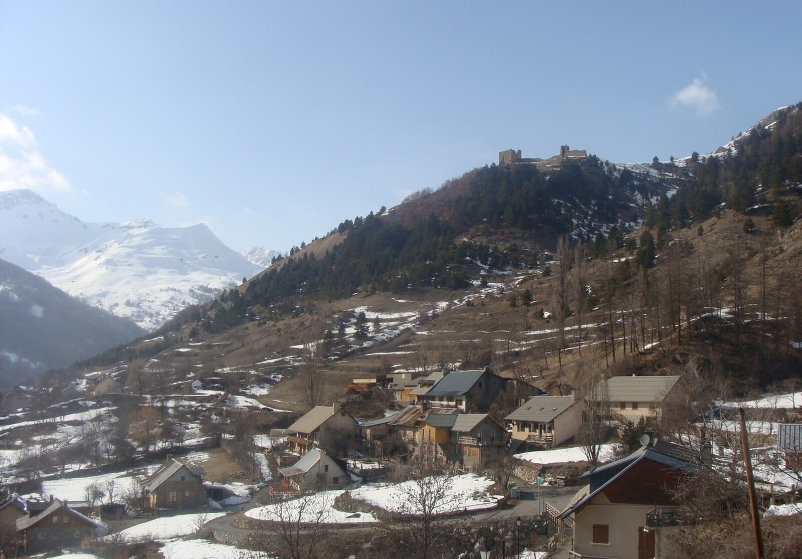
Réallon
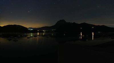
实时摄像头

开放缆车: 0%
积雪报告
- 过去24小时: 0 厘米
- 过去72小时: 0 厘米
- 过去7天: 0 厘米
- 过去7天: 山谷 0厘米 · 山腰 0厘米 · 山顶 0厘米
- 本季累计: 0 厘米
About Réallon
A sun-soaked balcony overlooking the Serre-Ponçon turquoise waters, where family-friendly slopes meet the wild edge of the Écrins.
Highlights
- Lake-view skiing
- Southern Alpine sun
- Pristine larch forests
- Quiet mountain escape
Key Facts
- Altitude: 1414m
- Top lift: 2146m
- Ski pistes: 30km
- Ski lifts: 8
- Population: 243
- Lakes nearby: 9
- MTB trails: 134.7km
- Mountain huts: 6
Ski Area
Weather and 10-day forecast for Réallon
- Today: 13 to 20 °C, mainly clear, 7 h of sunshine
- Freezing level today: about 4477 m (4250 to 4640 m)
| Day | Min / max | Sky | Precipitation | Sunshine |
|---|---|---|---|---|
| 9月23日周三 | 13 / 20 °C | mainly clear | dry | 7 h sun |
| 9月24日周四 | 12 / 21 °C | overcast | dry | 4 h sun |
| 9月25日周五 | 13 / 22 °C | clear sky | dry | 10 h sun |
| 9月26日周六 | 11 / 20 °C | clear sky | dry | 10 h sun |
| 9月27日周日 | 11 / 19 °C | clear sky | dry | 11 h sun |
| 9月28日周一 | 13 / 22 °C | clear sky | dry | 11 h sun |
| 9月29日周二 | 12 / 23 °C | clear sky | dry | 12 h sun |
| 9月30日周三 | 11 / 22 °C | overcast | dry | 11 h sun |
| 10月1日周四 | 9 / 13 °C | drizzle | 14 mm rain | 11 h sun |
| 10月2日周五 | 6 / 14 °C | drizzle | 3 mm rain | 11 h sun |
Things to do in Réallon
Hikes nearby — Réallon (18)
18 curated hiking trails around Réallon, sourced from OpenStreetMap and enriched with distance, elevation gain and difficulty.
-
Aiguilles de Chabrières
A steep but brief climb leads to the Brèche de Chabrières, where the trail plunges into a raw mineral world of jagged rock between earth and sky. From this vantage point, panoramas open onto Lake Serre-Ponçon and the Écrins massif.
-
Col de Reyssas
From the village of Réallon, the route climbs first through forest alongside a torrent before opening into alpine pastures that grow increasingly mineral and austere as you approach the col, all under the imposing shadow of the Mourre Froid. The ridge offers sweeping views over the Alpage de Reyssas, on the southern edge of the Parc National des Écrins.
-
Boucle de l'Oussella
The route climbs first through the cool shade of a beech wood, then into a forest of larches, before opening onto old haymaking meadows and the ruins of former mountain chalets. Higher up, the path runs like a balcony above the valley, delivering a sweeping view over Réallon below.
-
Balcon de l’Oussella et Quille du Laus
From beech and larch forest, past the ruins of old mountain chalets and ancient hay meadows, the path emerges onto an open balcony above the valley of Réallon before climbing to the Quille du Laus — a great cairn perched on a height — where one side drops into the deep gorge of the Chargès torrent and the other looks down on the small Lac de Laus nestled in a hollow, with views stretching to Serre-Ponçon beyond.
-
Brèche de Chabrières - Pierre Rouge
-
Chapelle Saint-Marcellin
A family-friendly path that winds along the mountainside through the vallon de Chargès, passing cascading waterfalls and lush, flower-filled slopes — especially vivid in late spring — on its way to a chapel named after the first bishop of Embrun. From the trail, chamois can be spotted on the opposite flank of the valley, with the Aiguilles de Chabrières presiding over the scene.
-
Font Bénie - Joubelle
-
Col de la Gardette
The route winds through the pastures of the hamlet of Les Gourniers, following the valley of the Réallon torrent up to the Col de la Gardette at 2,125 metres. The col is one of the landmark destinations of the Hautes-Alpes, appearing alongside the Aiguilles de Chabrière and the Lac de Serre-Ponçon as a defining feature of this mountain valley.
-
Col de la Coupa - Les Usclas
-
Cabane du Pré d'Antoni
The trail begins at the Gourniers bridge and the Marmite des Géants, threading past numerous small waterfalls along the Réallon torrent before climbing through the Écrins National Park to the Saint-Marcellin chapel and the Pré d'Antoni hut.
-
Col de la Coupa
A torrent-side path through mountain pasture grazed by sheep, this route climbs to the pass between the Réallon and Rouance valleys, where griffon vultures leave their cliff roost each morning around nine o'clock, spiral upward, and spend the day gliding over the surrounding summits and ridges before returning at dusk.
-
Torrent du Sapet - Le Piolit
-
Le Ranc - Le Serre du Milieu
-
Torrent du Sapet - Forest du Suret
-
Le Ranc - Le Cuchon
-
Clot-Clavary
-
Boucle de la Cabane de l'Aiguille
-
Boucle de la Mûre
Mountain biking near Réallon
- Boucle de Vaucluse
- Boucle du Fort
- Boucle des Mallets
- Gardette
- Shammy
- Piste VTT Enduro 5
- Piste VTT Enduro 2
- Piste VTT Enduro 1
Getting to Réallon
Door-to-door travel times as used by the MR. ALPS ranking.
- Nearest airport: Marseille Provence Airport (MRS), 158 km away, about 2h23 by road
- Grenoble: 2h25 by car, 128 km
- Marseille: 2h37 by car, 207 km
- Torino: 3h01 by car, 172 km
- Chambéry: 3h02 by car, 187 km
- Annecy: 3h34 by car, 234 km
- Lyon: 3h35 by car, 229 km
Where to stay in Réallon
18 places to stay for a night on 2026-09-25, from 85 EUR per night, median 199 EUR. Prices are direct with hotels and destinations, compared live on the Réallon page.