Raten – Oberägeri
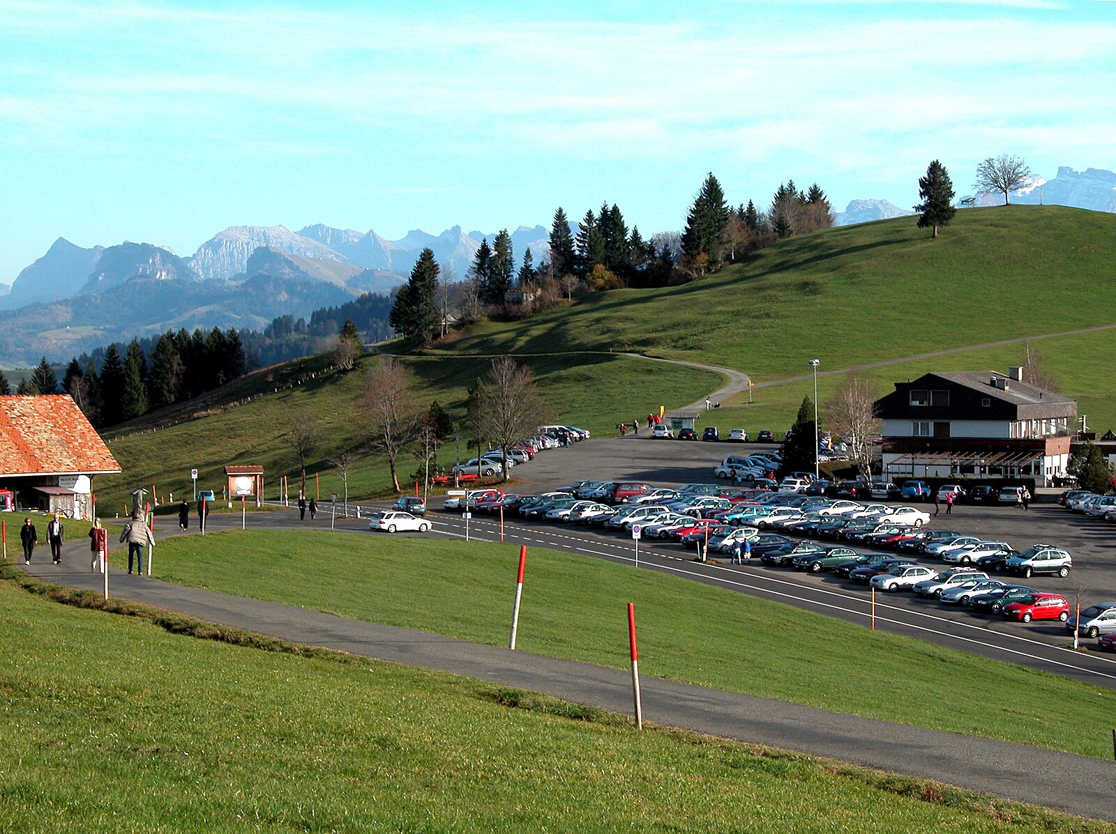
实时摄像头
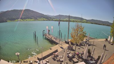
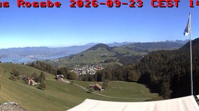
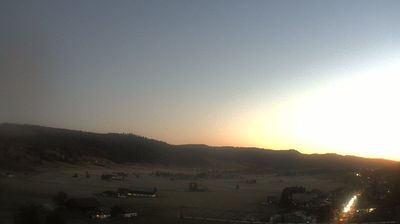
开放缆车: 0%
积雪报告
- 过去24小时: 0 厘米
- 过去72小时: 0 厘米
- 过去7天: 0 厘米
- 过去7天: 山谷 0厘米 · 山腰 0厘米 · 山顶 0厘米
- 本季累计: 0 厘米
About Raten – Oberägeri
A quiet plateau above the fog line, cherished by locals for its sunny winter walks and family-run hospitality away from the crowds.
Highlights
- Sun-drenched plateau
- Family winter hiking
- Local culinary charm
- Fog-free escape
Key Facts
- Altitude: 737m
- Top lift: 1119m
- Ski pistes: 1km
- Ski lifts: 2
- Population: 6,578
- Lakes nearby: 16
- MTB trails: 121.8km
- Mountain huts: 2
Ski Area
Weather and 10-day forecast for Raten – Oberägeri
- Today: 8 to 18 °C, clear sky, 12 h of sunshine
- Freezing level today: about 3835 m (3630 to 4020 m)
| Day | Min / max | Sky | Precipitation | Sunshine |
|---|---|---|---|---|
| 9月23日周三 | 8 / 18 °C | clear sky | dry | 12 h sun |
| 9月24日周四 | 12 / 18 °C | overcast | dry | 1 h sun |
| 9月25日周五 | 8 / 18 °C | clear sky | dry | 9 h sun |
| 9月26日周六 | 10 / 22 °C | partly cloudy | dry | 4 h sun |
| 9月27日周日 | 12 / 23 °C | clear sky | dry | 12 h sun |
| 9月28日周一 | 10 / 23 °C | clear sky | dry | 10 h sun |
| 9月29日周二 | 9 / 23 °C | clear sky | dry | 12 h sun |
| 9月30日周三 | 13 / 22 °C | overcast | dry | 2 h sun |
| 10月1日周四 | 17 / 21 °C | partly cloudy | dry | 4 h sun |
| 10月2日周五 | 15 / 23 °C | partly cloudy | dry | 6 h sun |
Things to do in Raten – Oberägeri
Hikes nearby — Raten – Oberägeri (20)
20+ curated hiking trails around Raten – Oberägeri, sourced from OpenStreetMap and enriched with distance, elevation gain and difficulty.
-
Alpenpanorama-Weg
From the moraine landscape fringing Lake Ägeri, the trail crosses the Lorze River and climbs through raised bogs and cherry-tree-dotted hills to the Brunegg viewpoint, then descends to Lake Zug past the Baroque St. Verena Chapel and the historic Capuchin convent of Maria Opferung before reaching Zug's old town.
-
Panoramaweg Aegerital
The Panoramaweg Ägerital runs along a ridge with views down both sides — Lake Zurich to the north and Lake Aegeri plus the Uri Alps to the south — passing through dense fir forest near the Raten Pass (1077 m), a low pass road between the Ägerisee and the Rothenthurm High Moor. It also forms part of National Trail No. 3, the Alpine Panorama Trail.
-
Ob Tännli - Grindel - Waldschlagchrüz
-
Alosen - Oberägeri
-
Ramenegg - Nas
-
Mäderenweg
-
Alpenpanorama-Weg
-
Schwyzer Höhenweg - Etappe 3
-
Schwyzer Höhenweg - Etappe 4
-
Saumweg
Die Beschilderung in Horgen ist je näher zum See desto schlechter.
-
Zürichsee Rundweg - Etappe 3
-
Zürich-Zugerland-Panoramaweg - Etappe 2
-
Mangelhöhe - Usser Black
-
Hüttner Brugg - Finstersee - fixme
-
Hütten - Finsterseebrugg - fixme
-
Alpenpanorama-Weg: Einsiedeln Bahnhof[+Pikto] - _VZ Unterägeri Dorfplatz
-
Moorweg Rothenthurm
-
Zürichsee-Rundweg: Richterswil Schiff - Pfäffikon
-
Alpenpanorama-Weg: _VZ Unterägeri Dorfplatz - Zug
-
Schwyzer Höhenweg: Holzegg - Einsiedeln Bahnhof[+Pikto]
Mountain biking near Raten – Oberägeri
- Forstweg
- Mistlibühlstrasse
- Grindelstrasse
- Pilgerweg
Getting to Raten – Oberägeri
Door-to-door travel times as used by the MR. ALPS ranking.
- Nearest airport: Zürich Airport (ZRH), 36 km away, about 52 min by road
- Zürich: 36 min by car, 41 km
- Luzern: 45 min by car, 49 km
- Basel: 1h34 by car, 123 km
- Biel/Bienne: 1h54 by car, 150 km
- Bern: 1h55 by car, 151 km
- Lausanne: 3h03 by car, 254 km
Where to stay in Raten – Oberägeri
37 places to stay for a night on 2026-09-25, from 123 EUR per night, median 214 EUR. Prices are direct with hotels and destinations, compared live on the Raten – Oberägeri page.