Puy-Saint-Vincent
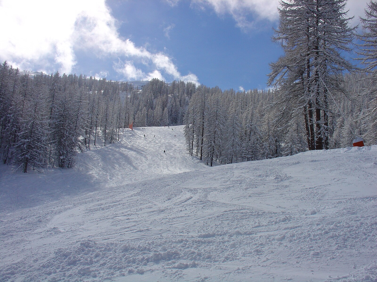
实时摄像头


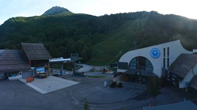
开放缆车: 0/11
积雪报告
- 过去24小时: 0 厘米
- 过去72小时: 0 厘米
- 过去7天: 0 厘米
- 过去7天: 山谷 0厘米 · 山腰 0厘米 · 山顶 0厘米
- 本季累计: 0 厘米
About Puy-Saint-Vincent
A sheltered family retreat tucked into the Pelvoux massif, prized for its wind-protected slopes and understated French charm.
Highlights
- Wind-protected slopes
- Family-oriented vibe
- National Park gateway
- Larch forest trails
Key Facts
- Altitude: 1382m
- Top lift: 2677m
- Ski pistes: 75km
- Ski lifts: 11
- Population: 270
- 4000m+ peaks nearby: 2
- Lakes nearby: 10
- MTB trails: 152.5km
- Mountain huts: 15
Ski Area
已包含在以下滑雪通票中
Weather and 10-day forecast for Puy-Saint-Vincent
- Today: 8 to 18 °C, clear sky, 9 h of sunshine
- Freezing level today: about 4341 m (4090 to 4550 m)
| Day | Min / max | Sky | Precipitation | Sunshine |
|---|---|---|---|---|
| 9月25日周五 | 8 / 18 °C | clear sky | dry | 9 h sun |
| 9月26日周六 | 9 / 18 °C | clear sky | dry | 12 h sun |
| 9月27日周日 | 8 / 17 °C | clear sky | dry | 12 h sun |
| 9月28日周一 | 9 / 19 °C | partly cloudy | dry | 8 h sun |
| 9月29日周二 | 8 / 19 °C | partly cloudy | dry | 5 h sun |
| 9月30日周三 | 8 / 17 °C | overcast | dry | 2 h sun |
| 10月1日周四 | 6 / 13 °C | rain | dry | 1 h sun |
| 10月2日周五 | 5 / 11 °C | partly cloudy | dry | 5 h sun |
| 10月3日周六 | 3 / 17 °C | partly cloudy | dry | 5 h sun |
| 10月4日周日 | 3 / 17 °C | clear sky | dry | 12 h sun |
Things to do in Puy-Saint-Vincent
Hikes nearby — Puy-Saint-Vincent (17)
17 curated hiking trails around Puy-Saint-Vincent, sourced from OpenStreetMap and enriched with distance, elevation gain and difficulty.
-
Sentier de Canaux
-
Le sentier des Cloutas
-
Entre Parapin et Gyronde
-
Boucle de Vallouise
-
Boucle de Pelvoux
-
Boucle vers Puy Aillaud
-
Via Alpina Red R129
Vallouise - Freissinières
-
Via Alpina Red R128
Le Monêtier-les-Bains - Vallouise
-
Sentier du Patrimoine
A gentle out-and-back through the hamlets, meadow edges, and small woods of Puy-Saint-Vincent, the route threads together the area's human heritage with quiet crossings over cool streams on small bridges. Waymarked signs point walkers toward Les Prés and Saint-Romain, with a large trailhead panel beside the D4 marking where the path drops away below the road.
-
Sentier des Lutins
Once the daily route of the local postman walking between Vallouise and Puy-Saint-Vincent, this loop through the forest is now populated with whimsical carved lutins (goblins) that delight children at every turn. The path climbs through woodland while opening onto occasional broad views, with a lutin and welcome sign marking the trailhead.
-
Puy-Saint-Vincent - Les Chapelles
-
Vallouise - Balade cosmique et naturelle
-
Tour des Vigneaux
-
Crête des Bancs - Col du Bal
-
Boucle d'Ailefroide
The trail climbs from the Claux car park along a handsome cobbled path lined with stone walls, passing the chalets of Serre and Pra Chapel before crossing an avalanche couloir to reach Ailefroide — a former alpine hamlet ringed by high granite walls that has made it a climbers' paradise. Though the old houses are gone, the village retains its character, buzzing with life through summer before falling quiet again after August.
-
Tour du Parc National des Écrins
-
Tour de l'Oisans et Écrins
Mountain biking near Puy-Saint-Vincent
- Circuit de Narreyroux
- Les Grandes Têtes
- Easy Going
- Family Trail
- La Trace
- Flowy line
- La Draille
- La Canada Draille
Getting to Puy-Saint-Vincent
Door-to-door travel times as used by the MR. ALPS ranking.
- Nearest airport: Turin Airport (TRN), 100 km away, about 2h15 by road
- Torino: 2h11 by car, 130 km
- Grenoble: 2h24 by car, 135 km
- Chambéry: 2h37 by car, 179 km
- Annecy: 3h10 by car, 227 km
- Marseille: 3h21 by car, 253 km
- Milano: 3h33 by car, 265 km
Where to stay in Puy-Saint-Vincent
39 places to stay for a night on 2026-10-02, from 84 EUR per night, median 112 EUR. Prices are direct with hotels and destinations, compared live on the Puy-Saint-Vincent page.