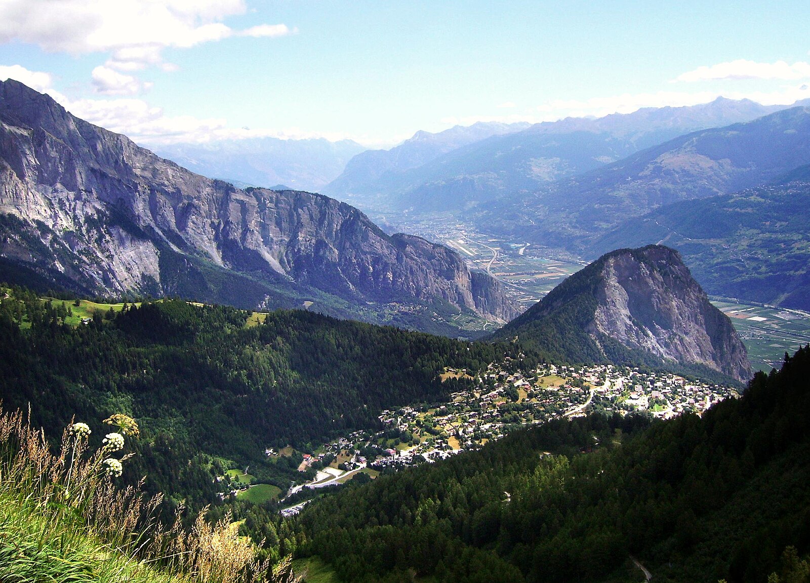
Ovronnaz
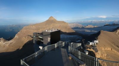
实时摄像头
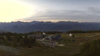

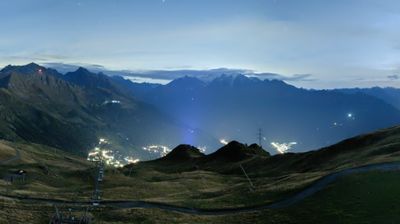
开放缆车: 0%
积雪报告
- 过去24小时: 0 厘米
- 过去72小时: 0 厘米
- 过去7天: 0 厘米
- 过去7天: 山谷 0厘米 · 山腰 0厘米 · 山顶 0厘米
- 本季累计: 0 厘米
About Ovronnaz
A sunny Valaisan terrace where the thrill of steep limestone slopes meets the deep relaxation of mineral-rich thermal baths.
Highlights
- Thermal spa culture
- South-facing sun balconies
- Rugged limestone peaks
- Family-oriented atmosphere
Key Facts
- Altitude: 1286m
- Top lift: 2427m
- Ski pistes: 30km
- Ski lifts: 7
- Population: 907
- Lakes nearby: 12
- MTB trails: 114.5km
- Mountain huts: 24
Ski Area
已包含在以下滑雪通票中
Weather and 10-day forecast for Ovronnaz
- Today: 9 to 16 °C, partly cloudy, 5 h of sunshine
- Freezing level today: about 3915 m (3810 to 4140 m)
| Day | Min / max | Sky | Precipitation | Sunshine |
|---|---|---|---|---|
| 9月24日周四 | 9 / 16 °C | partly cloudy | dry | 5 h sun |
| 9月25日周五 | 10 / 16 °C | clear sky | dry | 7 h sun |
| 9月26日周六 | 10 / 19 °C | clear sky | dry | 12 h sun |
| 9月27日周日 | 11 / 21 °C | clear sky | dry | 12 h sun |
| 9月28日周一 | 11 / 21 °C | clear sky | dry | 11 h sun |
| 9月29日周二 | 8 / 20 °C | clear sky | dry | 12 h sun |
| 9月30日周三 | 8 / 19 °C | partly cloudy | dry | 7 h sun |
| 10月1日周四 | 7 / 19 °C | clear sky | dry | 8 h sun |
| 10月2日周五 | 4 / 10 °C | drizzle | dry | 10 h sun |
| 10月3日周六 | 3 / 10 °C | partly cloudy | dry | 5 h sun |
Things to do in Ovronnaz
Hikes nearby — Ovronnaz (20)
20+ curated hiking trails around Ovronnaz, sourced from OpenStreetMap and enriched with distance, elevation gain and difficulty.
-
Chemin Rhin-Reuss-Rhône
Étape 10 Sion - Saillon
-
02-Chemin du Vignoble
-
Chemin Rhin-Reuss-Rhône
Étape 11 Saillon - Martigny
-
01-Chemin du Vignoble
-
Le sentier du cep à la cime
From the train station at Saint-Pierre-de-Clages, this didactic trail climbs through vineyards and forests along the Sizeranche torrent toward the cliffs of the Haut-de-Cry, passing the 11th-century Romanesque church of Saint-Pierre-de-Clages with its octagonal Cluniac-style bell tower — unique in Valais. The route tells the story of Chamoson's inhabitants and their centuries-long struggle against destructive floodwaters and for the irrigation canals that sustain the vines of Switzerland's largest viticultural commune.
-
Pont de Fully > Pont de Riddes
-
Chemin pédestre de montagne, région Martigny
-
Pont de Fully - Riddes
-
Via Alpina Stage 77: Anzeinde - Col du Demècre
-
Via Alpina Stage 76: Auberge du Godey - Anzeinde
-
Tour des Muverans
这条多日环形路线环绕位于沃州与瓦莱州交界处的Grand Muveran山体,从Pont-de-Nant出发,第一段途经Derborence。
-
Sanetsch-Muveran-Weg
-
Tour de l'Argentine
-
Via Alpina Stage 78: Col du Demècre - Vernayaz
-
01-Chemin des Bisses
-
Sanetsch-Muveran-Weg: Derborence - Ovronnaz
-
Chemin du vignoble: Branson Pont du Rhône - Saillon Village
-
Tour du Grand Chavalard
-
Chemin du vignoble: Saillon Village - 5
-
Tour de L’Argentine
Mountain biking near Ovronnaz
- Chôtatai (Freeride)
- Route de la Planie
- 08. Chôtatai
- Sentier Garettes-Sorniot
- Route du Mayen Moret
- antenne
- Bisse de Saxon
Getting to Ovronnaz
Door-to-door travel times as used by the MR. ALPS ranking.
- Nearest airport: Geneva International Airport (GVA), 82 km away, about 1h57 by road
- Lausanne: 1h15 by car, 93 km
- Bern: 1h52 by car, 150 km
- Genève: 1h54 by car, 155 km
- Biel/Bienne: 2h19 by car, 189 km
- Annecy: 2h25 by car, 161 km
- Chambéry: 2h50 by car, 205 km
Where to stay in Ovronnaz
200 places to stay for a night on 2026-09-25, from 148 EUR per night, median 448 EUR. Prices are direct with hotels and destinations, compared live on the Ovronnaz page.