Niederdorf – Obermaiselstein
About Niederdorf – Obermaiselstein
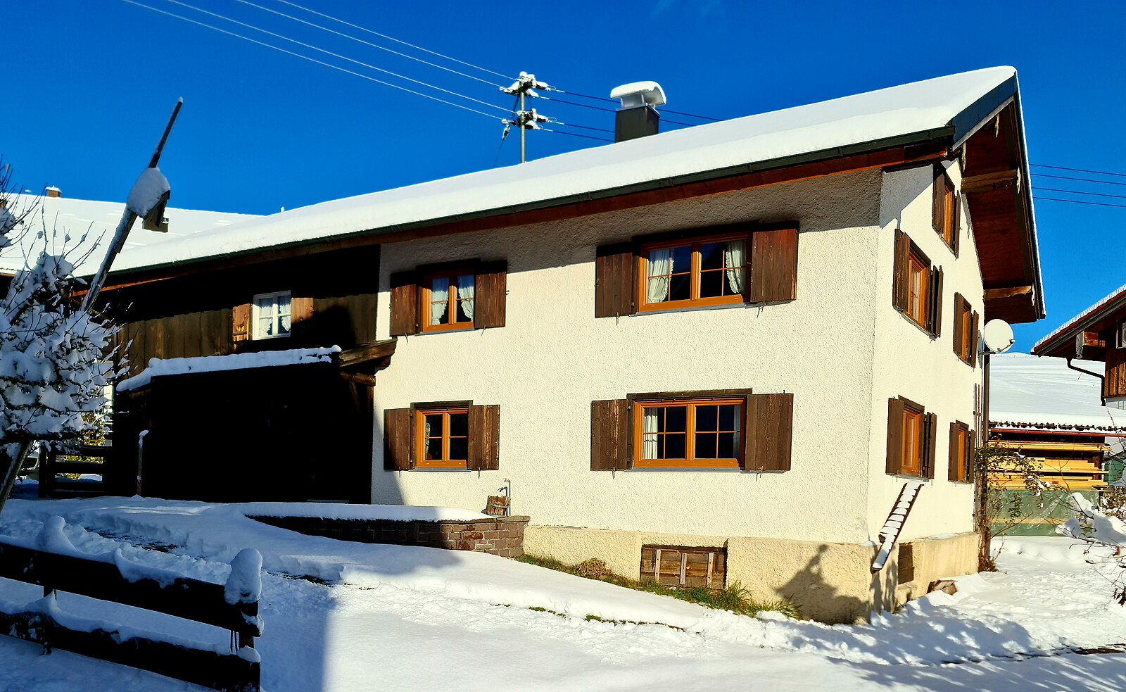
A tranquil Allgäu retreat where traditional farming heritage meets quiet mountain paths away from the Bavarian crowds.
Highlights
- Rustic farmstead charm
- Deep limestone caves
- Gentle hiking trails
- Authentic Bavarian hospitality
Key Facts
- Altitude: 848m
- Top lift: 850m
- Ski lifts: 1
- Population: 1,034
- Lakes nearby: 19
- MTB trails: 53.8km
- Mountain huts: 29
Ski Area
Weather and 10-day forecast for Niederdorf – Obermaiselstein
- Today: 5 to 16 °C, clear sky, 12 h of sunshine
- Freezing level today: about 3219 m (2920 to 3740 m)
| Day | Min / max | Sky | Precipitation | Sunshine |
|---|---|---|---|---|
| 9月22日周二 | 5 / 16 °C | clear sky | dry | 12 h sun |
| 9月23日周三 | 4 / 19 °C | clear sky | dry | 12 h sun |
| 9月24日周四 | 6 / 14 °C | rain showers | dry | 3 h sun |
| 9月25日周五 | 3 / 15 °C | clear sky | dry | 12 h sun |
| 9月26日周六 | 5 / 20 °C | clear sky | dry | 12 h sun |
| 9月27日周日 | 8 / 23 °C | partly cloudy | dry | 7 h sun |
| 9月28日周一 | 12 / 22 °C | clear sky | dry | 8 h sun |
| 9月29日周二 | 11 / 23 °C | clear sky | dry | 10 h sun |
| 9月30日周三 | 11 / 24 °C | clear sky | dry | 10 h sun |
| 10月1日周四 | 11 / 21 °C | drizzle | dry | 1 h sun |
Things to do in Niederdorf – Obermaiselstein
Hikes nearby — Niederdorf – Obermaiselstein (17)
17 curated hiking trails around Niederdorf – Obermaiselstein, sourced from OpenStreetMap and enriched with distance, elevation gain and difficulty.
-
Ru - Im Winter zur Schöllanger Burgkirche
From the Weidachwald — where tame squirrels inhabit the trees — the route follows the Iller upstream past wide gravel banks and broad shingle flats to the Renaissance chapel of the Schöllanger Burgkirche, where a sweeping view opens over the Iller valley and the surrounding mountains. The return drops steeply to the picturesque Auwaldsee before looping back through Fischen.
-
Europäischer Fernwanderweg E5, Deutschland
The E5 European long distance path or E5 path is one of the European long-distance paths from the French Atlantic coast in Brittany through Switzerland, Austria and Germany over the Alps to Venice in Italy. It is waymarked over the whole 3200 km distance. The heaviest used section is the last part, which crosses Europe’s highest mountains from Lake Constance to Italy. Even this part does not requi
-
Nord Süd Trail, Abschnitt Ofterschwang - Haldenwanger Eck
-
G - Winterwanderung zur Gaisalpe
The route climbs through wintry forest along the Wallrafweg — named for a former Reichstag president and Cologne mayor who championed these paths — to the secluded Gaisalpe at 1,149 m, where the panorama sweeps north across the entire Illertal and far into the flatlands. The descent doubles as a popular natural toboggan run down to Reichenbach, with the return leg rolling back through sunny meadows past Rubi.
-
Wanderwegenetz Sonthofen
-
K - Über Kornau zum Bergkristall
Winterwanderweg: Walserbrücke - Jauchenkreuz - Alte Walserstraße - Reute - Kornau - Söllereckbahn Talstation - Bergkristall - Waldesruhe - Schlechtenbrücke
-
Wanderwegenetz Oberstdorf
-
Ro - Ins winterliche Rohrmoos
Winterwanderweg: Tiefenbach - Winkel - Ferlewang - Hüttenbühl - Schattwald Alpe - Rohrmoos
-
Beslerrunde
The route begins gently on a paved alpine road before the terrain turns demanding above the Obere Gundalp, culminating in a small via ferrata section that requires genuine climbing ability to reach the Besler summit. Along the way, the path passes through the Lochbachtal valley and by the Lochbachalp at 1.155 m.
-
F - Winterwanderung zum Freibergsee
This winter route threads through forest paths — Weststrasse, Schlechtenbrücke, Waldesruhe, and the Edmund-Probst-Weg — before arriving at the Freibergsee lake, with the Heini-Klopfer ski jumping hill nearby as a striking landmark worth a detour.
-
H - Vom Schönblick nach Hochleite
Winterwanderweg: Söllereckbahn Bergstation - Sattelkopf - Hochleite - Schwand - Freibergsee (Dr. Rehweg) - Unterer Renksteg - Südebene - Oberstdorf
-
Wandertrilogie Etappe 13 Alpe Gund - Immenstadt/Bühl am Alpsee
-
Wandertrilogie Himmelsstürmer Etappe 20 Schwarzenberghütte/Hinterstein - Bad Hindelang
-
Wanderwegenetz Bad Hindelang
Beschilderte Wanderwege in Bad Hindelang ohne Nummerierung
-
Rundweg Alpvielfalt
-
B - Winterwanderung ins Stillachtal
-
D - Gerstruben - ein Bergdorf im Winter
Mountain biking near Niederdorf – Obermaiselstein
- MTB Tour 7: Illertalblick
- MTB Tour 1: Bergfahrt Seealpe
- Königsweg
Getting to Niederdorf – Obermaiselstein
Door-to-door travel times as used by the MR. ALPS ranking.
- Nearest airport: Memmingen Allgau Airport (FMM), 61 km away, about 1h01 by road
- München: 2h01 by car, 163 km
- Stuttgart: 2h25 by car, 227 km
- Zürich: 2h25 by car, 170 km
- Innsbruck: 2h26 by car, 161 km
- Luzern: 3h by car, 221 km
- Nürnberg: 3h09 by car, 311 km
Where to stay in Niederdorf – Obermaiselstein
200 places to stay for a night on 2026-09-25, from 171 EUR per night, median 429 EUR. Prices are direct with hotels and destinations, compared live on the Niederdorf – Obermaiselstein page.