Mittelberg
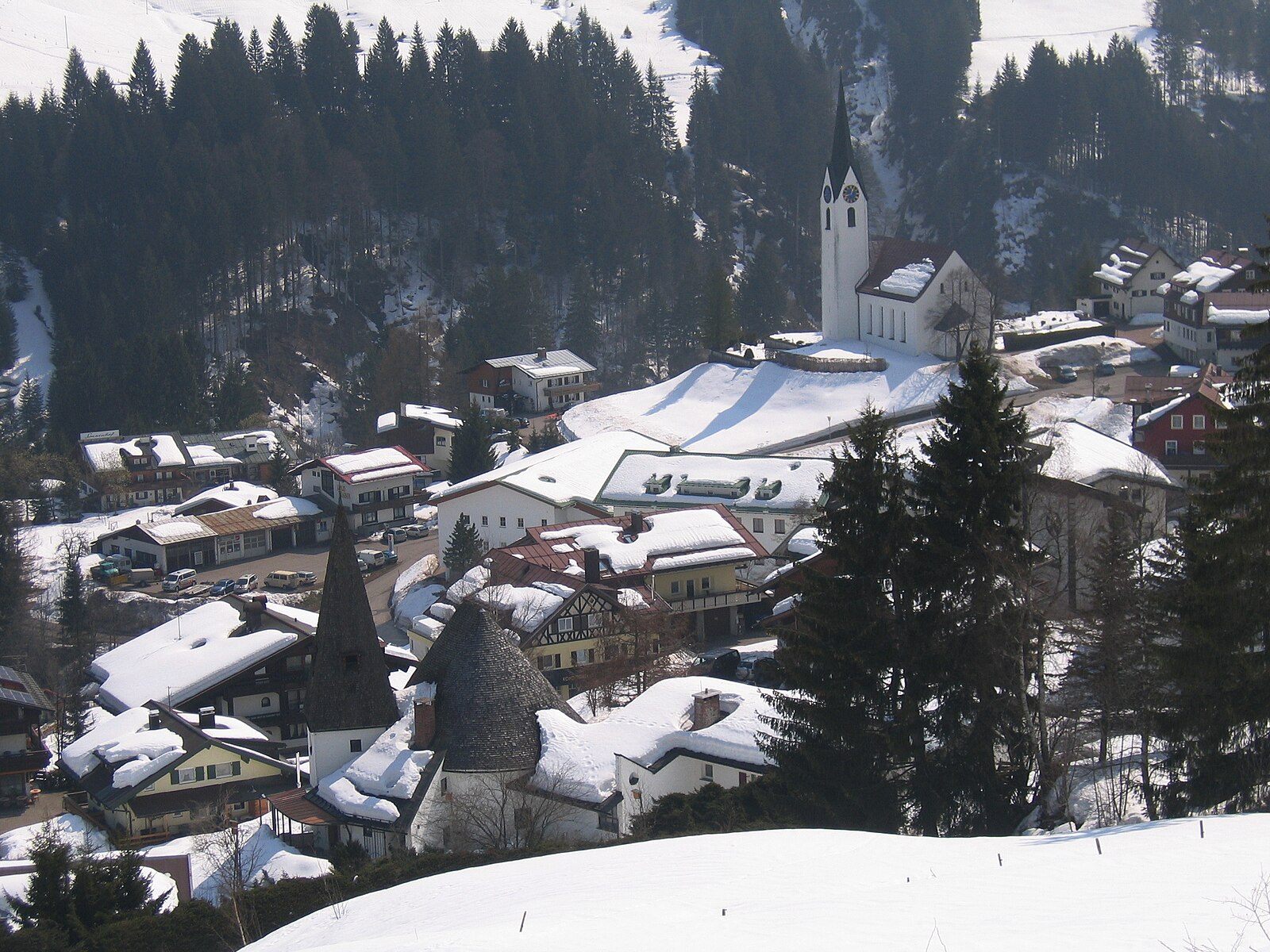
About Mittelberg
A historic settlement in the northern Alps situated at 1,148m within the Tiroler Oberland. Access to the Pitztal Glacier provides high-altitude terrain up to 3,420m, while the quiet shoulder seasons offer empty trails and a slower pace away from the primary lift hubs.
Highlights
- High-altitude cul-de-sac
- Traditional Walser architecture
- End-of-the-road seclusion
- Austrian-German fusion
Key Facts
- Altitude: 1148m
- Top lift: 3420m
- Ski pistes: 41km
- Ski lifts: 7
- Population: 4,962
- Lakes nearby: 16
- MTB trails: 209.3km
- Mountain huts: 30
Ski Area
已包含在以下滑雪通票中
Weather and 10-day forecast for Mittelberg
- Today: 7 to 15 °C, partly cloudy, 7 h of sunshine
- Freezing level today: about 4015 m (3460 to 4210 m)
| Day | Min / max | Sky | Precipitation | Sunshine |
|---|---|---|---|---|
| 9月20日周日 | 7 / 15 °C | partly cloudy | dry | 7 h sun |
| 9月21日周一 | 4 / 10 °C | partly cloudy | dry | 4 h sun |
| 9月22日周二 | 2 / 8 °C | clear sky | dry | 12 h sun |
| 9月23日周三 | 3 / 13 °C | clear sky | dry | 12 h sun |
| 9月24日周四 | 4 / 12 °C | clear sky | dry | 11 h sun |
| 9月25日周五 | 5 / 15 °C | partly cloudy | dry | 7 h sun |
| 9月26日周六 | 4 / 16 °C | clear sky | dry | 11 h sun |
| 9月27日周日 | 5 / 17 °C | overcast | dry | 1 h sun |
| 9月28日周一 | 4 / 18 °C | clear sky | dry | 12 h sun |
| 9月29日周二 | 4 / 16 °C | clear sky | dry | 12 h sun |
Things to do in Mittelberg
Hikes nearby — Mittelberg (19)
19 curated hiking trails around Mittelberg, sourced from OpenStreetMap and enriched with distance, elevation gain and difficulty.
-
AV Weg 915
-
Via Alpina Yellow B35
The trail descends beside the glacier tongue of the Mittelbergferner and the roaring Pitze river, leaving the world of glaciers behind. From the valley, a Postbus carries walkers along the Pitztal back into civilisation.
-
Ötztal Trek Etappe 21
Frischmannhütte → Erlanger Hütte
-
Wanderweg 911 - Geigenkammhöhenweg
-
Wanderweg zur Leiner Alm.
The trail climbs from the hamlet of Krabichl, between Leins and Wald, along a forest road past the Hilterbodenkapelle before rising on a footpath to the Leiner Alm at 1836 m — a scenic alpine pasture in the Hochzeiger area of the Pitztal. From the alm, views stretch as far as Imst.
-
Europäischer Fernwanderweg E5, Österreich Tirol
Der Europäische Fernwanderweg E5 ist ein Europäischer Fernwanderweg, der von der Atlantikküste Frankreichs in der Bretagne über die Alpen nach Verona in Italien führt. Insgesamt ist der Fernwanderweg 4120 Kilometer lang.
-
Ötztal Trek Etappe 22
Erlanger Hütte → Ötz Bahnhof
-
Ötztal Trek Etappe 20
Hauerseehütte → Frischmannhütte
-
Ötztaler Urweg
-
Frischmannhütte - Fundusfeiler
-
Frischmannhütte - Felderjöchl
-
Köfels - Frischmannhütte
-
Scharte - Frischmannhütte
-
Umhausen - Frischmannhütte
-
Winklen - Köfels
-
Aufstieg Ludwigsburger Hütte (T3)
-
Hoher Gemeindekopf
-
Aufstieg Ludwigsburger Hütte (T1)
-
Forchheimer Höhenweg
Mountain biking near Mittelberg
- Pitztal Bike
- Kalbenalm - Sechszeiger
- Tanzalm
- Stalderhütte - Hochzeigerhaus
- Kaunertal-Falkaunsalm
- Söllbergalm
- Lehnerjoch
- Mauchele Alm
Getting to Mittelberg
Door-to-door travel times as used by the MR. ALPS ranking.
- Nearest airport: Innsbruck Airport (INN), 45 km away, about 55 min by road
- Innsbruck: 1h01 by car, 72 km
- München: 2h22 by car, 163 km
- Bolzano - Bozen: 2h25 by car, 184 km
- Trento: 2h56 by car, 240 km
- Zürich: 3h14 by car, 253 km
- Luzern: 3h35 by car, 269 km
Where to stay in Mittelberg
200 places to stay for a night on 2026-09-25, from 118 EUR per night, median 293 EUR. Prices are direct with hotels and destinations, compared live on the Mittelberg page.