Les Arcs
实时摄像头
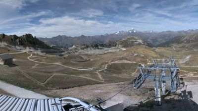
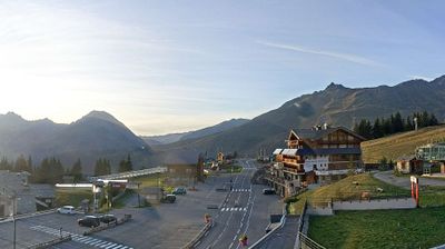
开放缆车: 0/127
积雪报告
- 过去24小时: 0 厘米
- 过去72小时: 0 厘米
- 过去7天: 0 厘米
- 过去7天: 山谷 0厘米 · 山腰 0厘米 · 山顶 0厘米
- 本季累计: 9.3 厘米
About Les Arcs
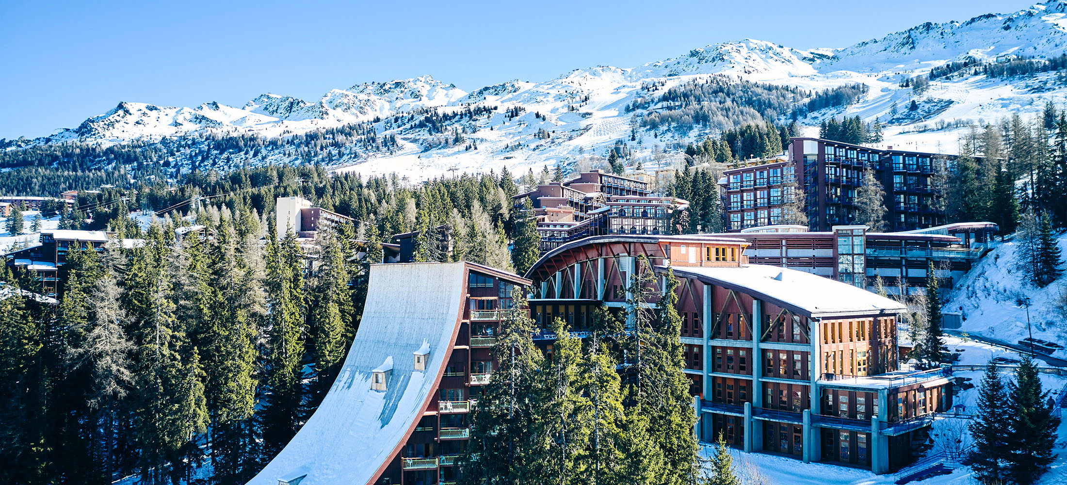
A high-altitude hub at 1,800m within the Savoie region, providing direct access to the 200km Paradiski circuit. During the shoulder season, the expansive trail network across the Vanoise National Park border offers quiet, high-capacity terrain without the peak-winter crowds.
Highlights
- Brutalist mountain design
- High-speed funicular access
- Steep forest glades
- Olympic speed-skiing heritage
Key Facts
- Altitude: 1800m
- Top lift: 3226m
- Ski pistes: 225km
- Ski lifts: 127
- Population: 400
- Lakes nearby: 34
- MTB trails: 182.2km
- Mountain huts: 15
Ski Area
Paradiski - La Plagne/Les Arcs/Peisey-Vallandry/Champagny-en-Vanoise
Weather and 10-day forecast for Les Arcs
- Today: 7 to 14 °C, clear sky, 12 h of sunshine
- Freezing level today: about 4405 m (4260 to 4550 m)
| Day | Min / max | Sky | Precipitation | Sunshine |
|---|---|---|---|---|
| 9月22日周二 | 7 / 14 °C | clear sky | dry | 12 h sun |
| 9月23日周三 | 7 / 13 °C | clear sky | dry | 12 h sun |
| 9月24日周四 | 6 / 14 °C | clear sky | dry | 10 h sun |
| 9月25日周五 | 4 / 15 °C | partly cloudy | dry | 6 h sun |
| 9月26日周六 | 6 / 17 °C | clear sky | dry | 12 h sun |
| 9月27日周日 | 7 / 16 °C | mainly clear | dry | 8 h sun |
| 9月28日周一 | 7 / 14 °C | clear sky | dry | 7 h sun |
| 9月29日周二 | 6 / 17 °C | overcast | dry | 11 h sun |
| 9月30日周三 | 3 / 16 °C | overcast | dry | 11 h sun |
| 10月1日周四 | 5 / 12 °C | rain showers | 12 mm rain | 1 h sun |
Things to do in Les Arcs
Hikes nearby — Les Arcs (15)
15 curated hiking trails around Les Arcs, sourced from OpenStreetMap and enriched with distance, elevation gain and difficulty.
-
Notre-Dame des Vernettes
A loop through forest and mountain pastures in Peisey-Nancroix, this trail leads to the Notre-Dame des Vernettes sanctuary, with a detour to a "Source Miraculeuse" on the return. Vanoise National Park ranger Benjamin Plumecocq notes that here, peaks, alpine pastures, and religious buildings conspire toward contemplation — rewarding naturalists and photographers alike.
-
Chemin de Szombathely, Col du Petit Saint-Bernard - Moûtiers
-
Sentier des lacs
-
Tour du Golf
-
La Maïtaz
-
K2 - Landry Aiguille Grive
-
BSM <> Arc 1600 par Plan Devin
-
Circuit du Ragairon
-
BSM <> Arc 1600 par Courbaton
-
Sentier des Écureuils
A shaded loop through the Forêt de Malgovert — a mix of fir, spruce, and larch — the trail traces the banks of the Isère, whose waters shelter a population of Mediterranean-strain brown trout alongside their Atlantic cousins. The route crosses the river twice and passes a youth hostel, threading between cool forest and the flat haymeadows that line the right bank.
-
Boucle de Roche de Mio
-
L'Aiguille Percée
-
Boucle du Carroley
-
Boucle du Cavard
-
Circuit de la Comtesse Cécile
Mountain biking near Les Arcs
- Tour de l'Aiguille Grive
- Canal
- Legend
- Cachette
- Marsupilami
- Yellowstone
- Golf
Getting to Les Arcs
Door-to-door travel times as used by the MR. ALPS ranking.
- Nearest airport: Lyon Saint-Exupéry Airport (LYS), 135 km away, about 2h38 by road
- Chambéry: 2h01 by car, 130 km
- Annecy: 2h24 by car, 127 km
- Grenoble: 2h25 by car, 161 km
- Genève: 2h59 by car, 170 km
- Lyon: 3h11 by car, 227 km
- Torino: 3h36 by car, 197 km
Where to stay in Les Arcs
200 places to stay for a night on 2026-09-25, from 94 EUR per night, median 138 EUR. Prices are direct with hotels and destinations, compared live on the Les Arcs page.