Karwendel Bergbahn (Zwölferkopf) – Pertisau
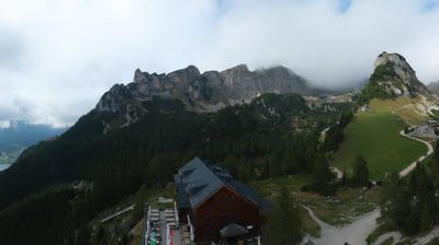
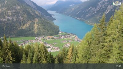
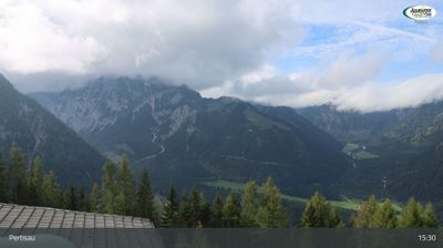
实时摄像头

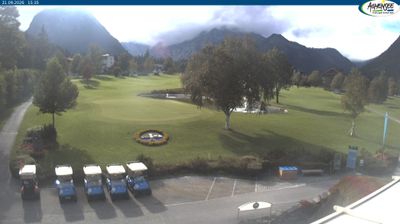
开放缆车: 0/5
积雪报告
- 过去24小时: 0 厘米
- 过去72小时: 0 厘米
- 过去7天: 0 厘米
- 过去7天: 山谷 0厘米 · 山腰 0厘米 · 山顶 0厘米
- 本季累计: 0.1 厘米
About Karwendel Bergbahn (Zwölferkopf) – Pertisau
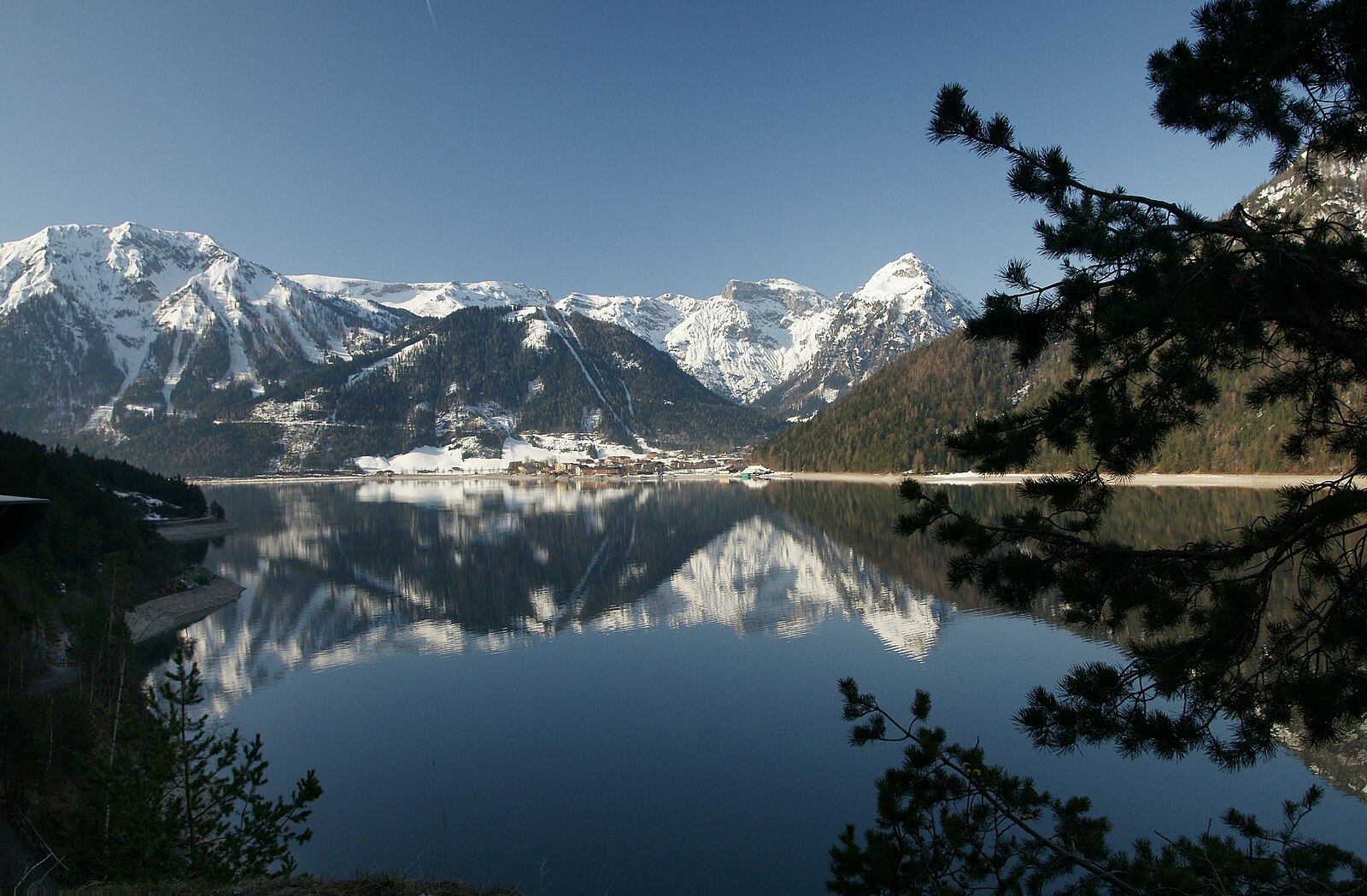
A tranquil Tirolean lakeside retreat where the Karwendel mountains meet the deep blue waters of the Achensee for slow-paced winter charm.
Highlights
- Lakeside alpine views
- Cross-country skiing hub
- Vintage cable car
- Traditional Tyrolean inns
Key Facts
- Altitude: 1450m
- Top lift: 1560m
- Ski pistes: 12km
- Ski lifts: 5
- Population: 572
- Lakes nearby: 9
- MTB trails: 212.9km
- Mountain huts: 19
Ski Area
Weather and 10-day forecast for Karwendel Bergbahn (Zwölferkopf) – Pertisau
- Today: 5 to 12 °C, overcast, 1 h of sunshine
- Freezing level today: about 3113 m (2330 to 3980 m)
| Day | Min / max | Sky | Precipitation | Sunshine |
|---|---|---|---|---|
| 9月21日周一 | 5 / 12 °C | overcast | dry | 1 h sun |
| 9月22日周二 | 4 / 10 °C | clear sky | dry | 12 h sun |
| 9月23日周三 | 5 / 14 °C | clear sky | dry | 12 h sun |
| 9月24日周四 | 5 / 9 °C | rain showers | dry | 1 h sun |
| 9月25日周五 | 3 / 13 °C | clear sky | dry | 12 h sun |
| 9月26日周六 | 7 / 18 °C | partly cloudy | dry | 6 h sun |
| 9月27日周日 | 8 / 18 °C | partly cloudy | dry | 5 h sun |
| 9月28日周一 | 9 / 22 °C | clear sky | dry | 10 h sun |
| 9月29日周二 | 9 / 20 °C | clear sky | dry | 11 h sun |
| 9月30日周三 | 8 / 21 °C | clear sky | dry | 11 h sun |
Things to do in Karwendel Bergbahn (Zwölferkopf) – Pertisau
Hikes nearby — Karwendel Bergbahn (Zwölferkopf) – Pertisau (20)
20+ curated hiking trails around Karwendel Bergbahn (Zwölferkopf) – Pertisau, sourced from OpenStreetMap and enriched with distance, elevation gain and difficulty.
-
Wanderweg 201
Scharnitz - Karwendelhaus - Maurach
-
Wanderweg 232
-
Wanderweg 233
Pertisau - Ahornboden
-
Adlerweg Etappe 8
From the gondola descent of the Rofanseilbahn to Maurach, the route traces the southern shore of the Achensee to Pertisau before pushing deep into the Falzthurntal, passing the Falzthurnalm and the idyllic Gramaialm on its way to the valley's steep head. The final push screws upward in serpentines through loose scree and shattered slopes, arriving at the Lamsenjochhütte at 1,953 m beneath the spectacular rock walls of the Lamsenspitze.
-
Wanderweg 234
Stans - Falzthurn
-
Wanderweg 236
-
Stanser Joch Kamm
-
Eselsteig
-
Montschein
-
Europäischer Fernwanderweg E4, Österreich, Rofan
Der Europäische Fernwanderweg E4 ist Teil des europäischen Wanderwegnetzes und soll den südwestlichsten Punkt des europäischen Kontinents in einem großen Bogen durch das westliche Mitteleuropa mit der im Südosten liegenden Insel Zypern verbinden. Der E4 ist mit einer Gesamtlänge von ungefähr 12.090 Kilometern bei weitem der längste aller Europäischen Fernwanderwege.
-
Wanderweg 413
-
Wanderweg 235
Stans - Joch - Pertisau
-
Wanderweg 401
Maurach - Grubascharte
-
Wanderweg 236
-
4
-
Alpentiere Rundwanderweg
-
9
-
Adlerweg [005]
-
Kapellenrundweg
-
Brandenbergvariante - Alternative zum Nordalpenweg 01 in den Brandenberger Alpen
See all 20 hikes near Karwendel Bergbahn (Zwölferkopf) – Pertisau
Mountain biking near Karwendel Bergbahn (Zwölferkopf) – Pertisau
- Rund um den Zwölferkopf
- Panoramaweg
- Feilkopf
- Bärenbadalm
- Krautried
- Oberer Seebergsteig
All MTB trails near Karwendel Bergbahn (Zwölferkopf) – Pertisau
Getting to Karwendel Bergbahn (Zwölferkopf) – Pertisau
Door-to-door travel times as used by the MR. ALPS ranking.
- Nearest airport: Innsbruck Airport (INN), 32 km away, about 1h50 by road
- Innsbruck: 1h47 by car, 51 km
- München: 2h46 by car, 116 km
- Bolzano - Bozen: 3h12 by car, 166 km
- Trento: 3h43 by car, 222 km
- Nürnberg: 4h15 by car, 285 km
- Verona: 4h41 by car, 317 km
Where to stay in Karwendel Bergbahn (Zwölferkopf) – Pertisau
174 places to stay for a night on 2026-09-25, from 220 EUR per night, median 405 EUR. Prices are direct with hotels and destinations, compared live on the Karwendel Bergbahn (Zwölferkopf) – Pertisau page.