Johnsbach (Admont)
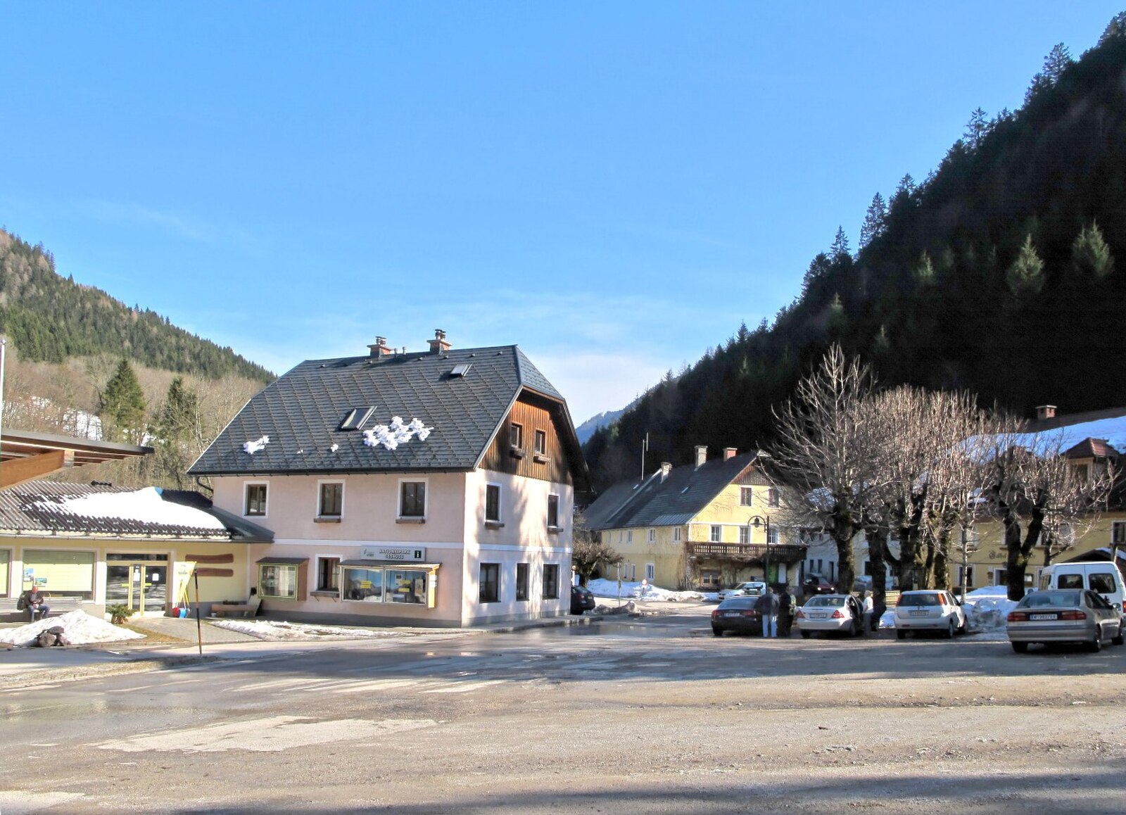
实时摄像头



积雪报告
- 过去24小时: 0 厘米
- 过去72小时: 0 厘米
- 过去7天: 0 厘米
- 过去7天: 山谷 0厘米 · 山腰 0厘米 · 山顶 0厘米
- 本季累计: 0 厘米
About Johnsbach (Admont)
A rugged mountaineering cradle deep in the Gesäuse, where steep limestone faces meet a legendary tradition of alpine climbing.
Highlights
- Technical rock climbing
- Historic mountaineers cemetery
- Untouched backcountry skiing
- Wild limestone peaks
Key Facts
- Altitude: 857m
- Top lift: 1005m
- Ski pistes: 1km
- Ski lifts: 1
- Population: 150
- Lakes nearby: 5
- MTB trails: 43km
- Mountain huts: 19
Ski Area
Weather and 10-day forecast for Johnsbach (Admont)
- Today: 6 to 13 °C, rain showers, 1 h of sunshine
- Freezing level today: about 2660 m (1940 to 3230 m)
| Day | Min / max | Sky | Precipitation | Sunshine |
|---|---|---|---|---|
| 9月24日周四 | 6 / 13 °C | rain showers | dry | 1 h sun |
| 9月25日周五 | 4 / 12 °C | clear sky | dry | 10 h sun |
| 9月26日周六 | 6 / 19 °C | clear sky | dry | 12 h sun |
| 9月27日周日 | 10 / 22 °C | clear sky | dry | 12 h sun |
| 9月28日周一 | 12 / 23 °C | clear sky | dry | 12 h sun |
| 9月29日周二 | 12 / 21 °C | clear sky | dry | 12 h sun |
| 9月30日周三 | 12 / 20 °C | clear sky | dry | 12 h sun |
| 10月1日周四 | 8 / 19 °C | clear sky | dry | 11 h sun |
| 10月2日周五 | 8 / 20 °C | partly cloudy | dry | 6 h sun |
| 10月3日周六 | 10 / 14 °C | drizzle | dry | 11 h sun |
Things to do in Johnsbach (Admont)
Hikes nearby — Johnsbach (Admont) (17)
17 curated hiking trails around Johnsbach (Admont), sourced from OpenStreetMap and enriched with distance, elevation gain and difficulty.
-
Wanderweg 675
Johnsbach – Sebringgraben – Wölgeralm – Niederberg – Kote 1688 – einmd. Weg 673
-
Wanderweg 664
Hesshütte - Josefinensteig - Hochtor - Schneeloch - Untere Koderalm
-
Wanderweg 658
Gesäusestraße - Haindlkargraben - Haindlkarhütte - Gsengscharte - Kote 626 - Kote 635 - Kote 667 - Johnsbachgraben - Johnsbach
-
Luchs Trail Etappe 5
-
Wanderweg 601
NONE (The excerpt describes a trail in Spital am Pyhrn, Upper Austria — not Wanderweg 601 in Stall, Carinthia, Austria. No usable facts about the correct trail are present.)
-
Wanderweg 672
Mödlingerhütte - Treffnersee - Heldenkreuz
-
Wanderweg 663
Hesshütte - Peternscharte - Planspitze - Kölblplan - einmd. Weg 660
-
Luchs Trail Etappe 6
The route climbs to the Gsengscharte via a black-marked path with a short rope-secured passage — a demanding variant that earns the Gesäuse its reputation as Austria's Yosemite — before descending past the Haindlkarhütte. Only experienced, sure-footed, and vertigo-free walkers should attempt this, the most technically challenging stage on the entire Luchs Trail.
-
Wanderweg 671
Gaishorn/Bhf. - Weidalm - Treffneralm - Mödlingerhütte
-
Wanderweg 674
Vorwald - Leobnertörl - Johnsbach
-
Wanderweg 601
Abschnitt Nordalpenweg: Radmer an der Stube – Schoderkreuz – Scheucheckalm – Goldecksattel – Hartelsgraben – Sulzkarhund – Hesshütte – Koderalm – Kölblwirt – Johnsbach
-
Wanderweg 608
Teil von Weitwanderweg 08 (Gesäuse)
-
Via Alpina Purple A24
-
Wanderweg 677a
Hinkareck – Antonikreuz – Seekaralm – Kote 1024 – einmd. Weg 677
-
Wanderweg 677
Kalwang – Brunnebenalm – Enzianboden – Hinkareck – Zeiritztörl – Kammerlalm – Kote 1024 – Radmer an der Hasel
-
Der wilde John - Sagenweg
-
Johnsbach - Wanderweg 80
Mountain biking near Johnsbach (Admont)
- Trans Nationalpark - Etappe 6
Getting to Johnsbach (Admont)
Door-to-door travel times as used by the MR. ALPS ranking.
- Nearest airport: Linz-Hörsching Airport (LNZ), 84 km away, about 1h43 by road
- Graz: 1h41 by car, 127 km
- Wien: 2h52 by car, 243 km
- München: 3h42 by car, 318 km
- Innsbruck: 4h21 by car, 374 km
- Nürnberg: 4h25 by car, 413 km
- Padova: 5h34 by car, 466 km
Where to stay in Johnsbach (Admont)
6 places to stay for a night on 2026-09-25, from 123 EUR per night, median 210 EUR. Prices are direct with hotels and destinations, compared live on the Johnsbach (Admont) page.