Hätzingen – Loh
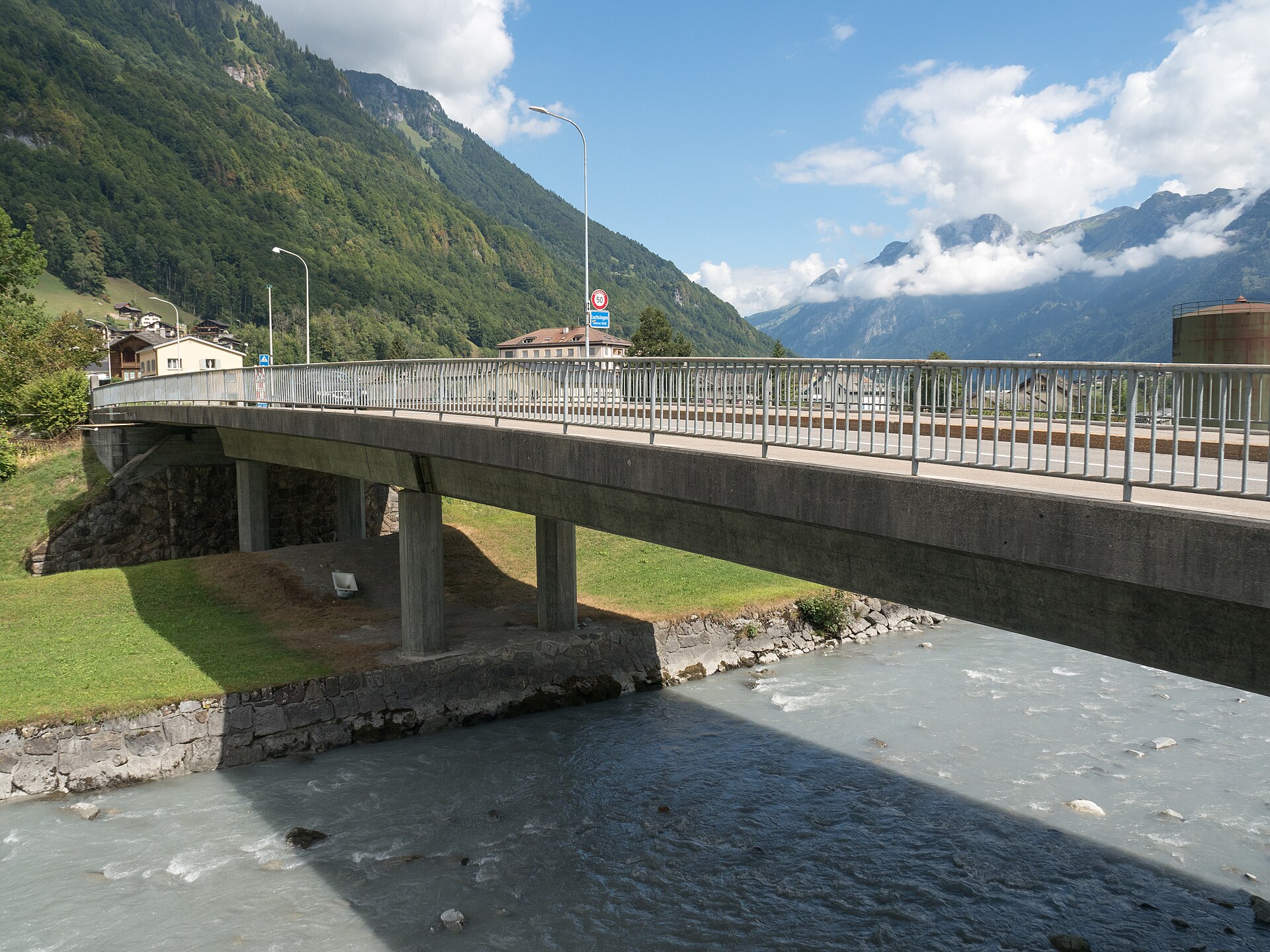
About Hätzingen – Loh
A quiet industrial relic in the Glarus valley where historic textile heritage meets the rugged shadow of the high Alps.
Highlights
- Industrial heritage architecture
- Deep valley seclusion
- Textile history trails
- Authentic local living
Key Facts
- Altitude: 583m
- Top lift: 701m
- Ski pistes: 1km
- Ski lifts: 1
- Population: 341
- Lakes nearby: 24
- MTB trails: 100.5km
- Mountain huts: 30
Ski Area
Weather and 10-day forecast for Hätzingen – Loh
- Today: 12 to 19 °C, overcast, 3 h of sunshine
- Freezing level today: about 3733 m (3430 to 3980 m)
| Day | Min / max | Sky | Precipitation | Sunshine |
|---|---|---|---|---|
| 9月21日周一 | 12 / 19 °C | overcast | dry | 3 h sun |
| 9月22日周二 | 9 / 19 °C | clear sky | dry | 12 h sun |
| 9月23日周三 | 10 / 20 °C | clear sky | dry | 12 h sun |
| 9月24日周四 | 13 / 20 °C | overcast | dry | 2 h sun |
| 9月25日周五 | 12 / 21 °C | clear sky | dry | 12 h sun |
| 9月26日周六 | 12 / 24 °C | partly cloudy | dry | 7 h sun |
| 9月27日周日 | 14 / 24 °C | partly cloudy | dry | 5 h sun |
| 9月28日周一 | 16 / 26 °C | clear sky | dry | 12 h sun |
| 9月29日周二 | 14 / 27 °C | clear sky | dry | 12 h sun |
| 9月30日周三 | 15 / 26 °C | clear sky | dry | 12 h sun |
Things to do in Hätzingen – Loh
Hikes nearby — Hätzingen – Loh (20)
20+ curated hiking trails around Hätzingen – Loh, sourced from OpenStreetMap and enriched with distance, elevation gain and difficulty.
-
ViaSuworow
-
Via Alpina
This segment departs Urnerboden westward along an old pass route, threading through the canton of Uri as part of the broader Via Alpina — a long-distance trail crossing 14 Alpine passes between Vaduz and Montreux.
-
Via Alpina
-
Via Glaralpina
-
Via Glaralpina
-
Zwerg-Bartli-Erlebnisweg
-
Panoramaweg Braunwald
A circular ridge walk above Braunwald, the route strings together the Chnügrat, Seblengrat, and Gumen viewpoints, delivering repeated views of the Tödi and Ortstock peaks over the southern Glarnerland. A tunnel carved through living rock — a "Galerie im Fels" — connects two of the ridges, and the Gumen itself harbours a notable variety of alpine plants, including Edelweiss, fire lilies, and Türkenbund blooming in July.
-
Nussbüel-Weg
A circular route above Braunwald where the path swings between lush meadows and shaded woodlands, passing massive boulders and wooden huts typical of the region, with wild blueberries and gentians underfoot. The Ortstock peak dominates the skyline, and a mountain restaurant at Nussbüel — along with fire pits for barbecuing — punctuate the way.
-
Chärpfbrugg Rundweg
-
Linth-Uferweg
The Linth-Uferweg follows a broad, comfortable path along the river through an open valley, its banks thick with wild plants and punctuated by shady woodland stretches. Between the villages of Mitlödi and Ennenda the route climbs slightly above the Linth, opening up wide views across the valley to the massive mountains beyond, before passing a woodland rest stop with a fireplace.
-
Karstspur Silberen
-
ViaSuworow
-
Via Glaralpina
-
Via Glaralpina
-
Via Glaralpina
-
Braunwald-Oberblegisee-Weg
-
Braunwald Panoramaweg
-
Kärpfbrugg-Rundweg
-
Via Alpina: Linthal - _VZ Urnerboden
-
ViaSuworow: Glarus - Elm Station
Mountain biking near Hätzingen – Loh
- Längenegg Bike
- Bächi Bike
- Fryberg Bike
- Flowtrail Glarus
Getting to Hätzingen – Loh
Door-to-door travel times as used by the MR. ALPS ranking.
- Nearest airport: Zürich Airport (ZRH), 67 km away, about 1h26 by road
- Zürich: 1h10 by car, 82 km
- Luzern: 1h29 by car, 104 km
- Basel: 2h07 by car, 164 km
- Biel/Bienne: 2h33 by car, 202 km
- Bern: 2h34 by car, 204 km
- Innsbruck: 3h23 by car, 247 km
Where to stay in Hätzingen – Loh
39 places to stay for a night on 2026-09-25, from 276 EUR per night, median 689 EUR. Prices are direct with hotels and destinations, compared live on the Hätzingen – Loh page.