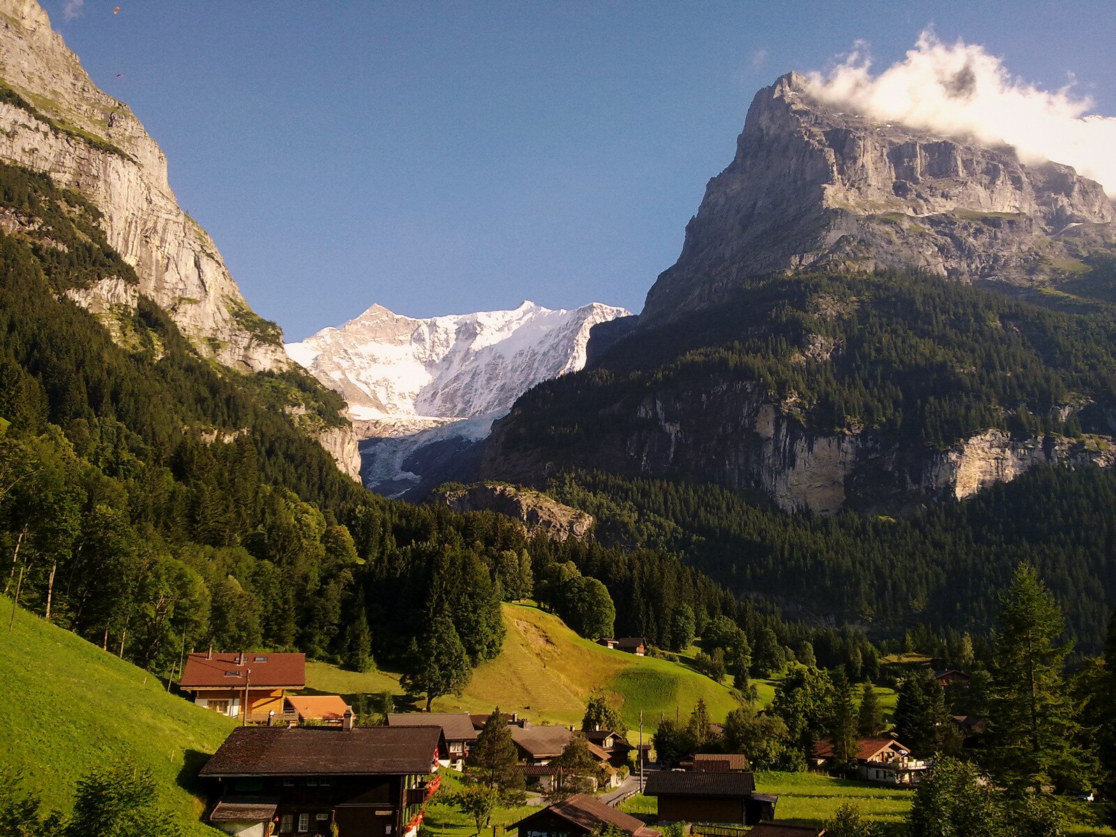
Grindelwald
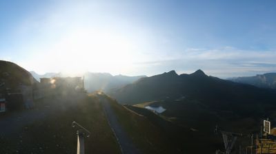
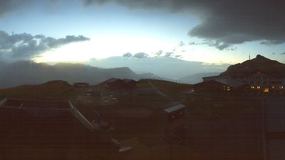
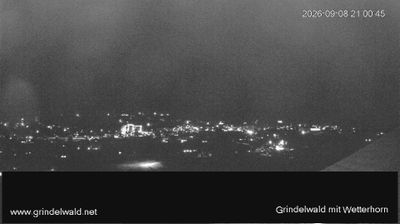
实时摄像头


开放缆车: 0/49
积雪报告
- 过去24小时: 0 厘米
- 过去72小时: 0 厘米
- 过去7天: 0 厘米
- 过去7天: 山谷 0厘米 · 山腰 0厘米 · 山顶 0厘米
- 本季累计: 2.6 厘米
About Grindelwald
A charming village beneath the famous Eiger, with modern lifts and timeless Alpine atmosphere.
Highlights
- Eiger North Face
- V-Bahn gondola
- Traditional chalets
- Glacier canyon
Key Facts
- Altitude: 1070m
- Top lift: 2970m
- Ski pistes: 205km
- Ski lifts: 49
- Population: 3,930
- 4000m+ peaks nearby: 9
- Lakes nearby: 12
- MTB trails: 67.9km
- Mountain huts: 25
Ski Area
已包含在以下滑雪通票中
Weather and 10-day forecast for Grindelwald
- Today: 8 to 16 °C, partly cloudy, 7 h of sunshine
- Freezing level today: about 4133 m (3730 to 4270 m)
| Day | Min / max | Sky | Precipitation | Sunshine |
|---|---|---|---|---|
| 9月20日周日 | 8 / 16 °C | partly cloudy | dry | 7 h sun |
| 9月21日周一 | 7 / 14 °C | partly cloudy | dry | 4 h sun |
| 9月22日周二 | 8 / 13 °C | clear sky | dry | 12 h sun |
| 9月23日周三 | 8 / 13 °C | clear sky | dry | 12 h sun |
| 9月24日周四 | 7 / 13 °C | clear sky | dry | 9 h sun |
| 9月25日周五 | 10 / 15 °C | overcast | dry | 1 h sun |
| 9月26日周六 | 8 / 16 °C | clear sky | dry | 12 h sun |
| 9月27日周日 | 10 / 17 °C | overcast | dry | 3 h sun |
| 9月28日周一 | 10 / 19 °C | clear sky | dry | 12 h sun |
| 9月29日周二 | 7 / 18 °C | clear sky | dry | 12 h sun |
Things to do in Grindelwald
Hikes nearby — Grindelwald (20)
20+ curated hiking trails around Grindelwald, sourced from OpenStreetMap and enriched with distance, elevation gain and difficulty.
-
ViaBerna Etappe 15
-
ViaBerna Etappe 16
-
Via Alpina
Stage 68 of the Via Alpina threads between Grindelwald and Lauterbrunnen through the heart of the Bernese Oberland, where hikers move in the shadow of the Eiger and Jungfrau. The route passes through the quintessential car-free village of Wengen on its way across a landscape of Alpine pastures ringing with cowbells.
-
Via Alpina
-
Holewang - fixme
-
Rasthysi - Holewang
-
Eiger Trail
-
First - Grosse Scheidegg (Höhenweg 2400)
-
Eigertrail
The Eiger Trail traces the base of the Eiger's north face, delivering unobstructed views across the Lauterbrunnen Valley toward Mürren and down into Grindelwald. It runs as a point-to-point route between Eigergletscher and Kleine Scheidegg, mostly downhill, with the sheer rock wall of one of the Alps' most storied peaks looming directly overhead.
-
Lieselotte Weg
The Lieselotte Weg is a themed trail that begins at the mountain station of Männlichen and descends to Grindelwald, offering stunning views along the way.
-
ViaBerna Etappe 14
-
Grosse Scheidegg - Schreckfeld
-
Distelboden–Schwarzhorn
-
Breitenbodenalp - Pfanni
-
Lauberhorn Trail
-
ViaBerna: First - Rosenlaui
-
Via Alpina: Grindelwald Bhf. - Lauterbrunnen
-
ViaBerna: Schynige Platte - First
-
Via Alpina: Meiringen - Grindelwald Bhf.
-
ViaBerna: Isenfluh - Schynige Platte
Mountain biking near Grindelwald
- Alpine Bike - Etappe 12
- Alpine Bike - Etappe 11
- Eigertrail
- Grütsch-Trail
Getting to Grindelwald
Door-to-door travel times as used by the MR. ALPS ranking.
- Nearest airport: Zürich Airport (ZRH), 100 km away, about 2h14 by road
- Bern: 1h09 by car, 75 km
- Luzern: 1h26 by car, 87 km
- Biel/Bienne: 1h32 by car, 111 km
- Zürich: 2h02 by car, 137 km
- Basel: 2h08 by car, 166 km
- Lausanne: 2h20 by car, 182 km
Where to stay in Grindelwald
200 places to stay for a night on 2026-09-25, from 323 EUR per night, median 1042 EUR. Prices are direct with hotels and destinations, compared live on the Grindelwald page.