Flirsch
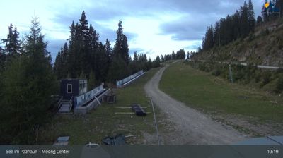
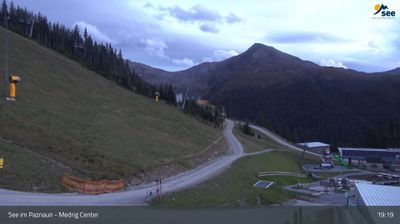
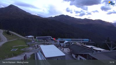
实时摄像头
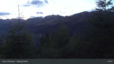


开放缆车: 0%
积雪报告
- 过去24小时: 0 厘米
- 过去72小时: 0 厘米
- 过去7天: 0 厘米
- 过去7天: 山谷 0.3厘米 · 山腰 0厘米 · 山顶 0.3厘米
- 本季累计: 11.3 厘米
About Flirsch
A quiet Tyrolean hideaway offering a slow-paced alternative to the high-octane energy of nearby Arlberg resorts.
Highlights
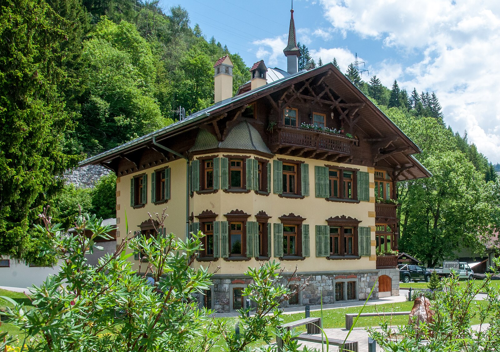
- Traditional wood architecture
- Affordable local guesthouses
- Quiet mountain trails
- Authentic village life
Key Facts
- Altitude: 1166m
- Top lift: 1216m
- Ski lifts: 1
- Population: 1,009
- Lakes nearby: 23
- MTB trails: 297.7km
- Mountain huts: 22
Ski Area
Weather and 10-day forecast for Flirsch
- Today: 11 to 21 °C, partly cloudy, 7 h of sunshine
- Freezing level today: about 4054 m (3500 to 4230 m)
| Day | Min / max | Sky | Precipitation | Sunshine |
|---|---|---|---|---|
| 9月20日周日 | 11 / 21 °C | partly cloudy | dry | 7 h sun |
| 9月21日周一 | 10 / 18 °C | partly cloudy | dry | 4 h sun |
| 9月22日周二 | 7 / 17 °C | clear sky | dry | 12 h sun |
| 9月23日周三 | 8 / 20 °C | clear sky | dry | 12 h sun |
| 9月24日周四 | 10 / 19 °C | partly cloudy | dry | 8 h sun |
| 9月25日周五 | 10 / 21 °C | partly cloudy | dry | 4 h sun |
| 9月26日周六 | 12 / 22 °C | partly cloudy | dry | 8 h sun |
| 9月27日周日 | 13 / 23 °C | overcast | dry | 1 h sun |
| 9月28日周一 | 12 / 24 °C | clear sky | dry | 12 h sun |
| 9月29日周二 | 11 / 23 °C | clear sky | dry | 12 h sun |
Things to do in Flirsch
Hikes nearby — Flirsch (14)
14 curated hiking trails around Flirsch, sourced from OpenStreetMap and enriched with distance, elevation gain and difficulty.
-
Adlerweg Etappe 23
A high-alpine traverse through the Lechtal Alps, the route crosses a succession of rocky passes — Flarschjoch, Alperschonjoch, Hinterseejoch, and Kridlonscharte — linked by scree fields, steep serpentines, and grassy mountain meadows. The notorious Haas-Weg cuts across the southern rock faces of the Vorderseespitze through exposed, crumbling flanks and gullies secured at multiple points with fixed ropes, while a final chimney climb through the rock leads to the Kridlonscharte before the path traverses narrow, precipitous slopes westward to the Kaiserjochhaus.
-
Wanderweg 635
Schnann - Alperschonjoch - Madau
-
Adlerweg Etappe 22
Memminger Hütte - Ansbacher Hütte
-
Paznauner Höhenweg Etappe 2
-
Paznauner Höhenweg Etappe 8
-
AV Weg 511
-
Grins Schihütte Dawin
-
Augsburger Hütte
-
Augsburger Höhenweg
Der Augsburger Höhenweg ist ein hochalpiner Steig in den Lechtaler Alpen, Tirol/Vorarlberg, Österreich. Er wurde 1910 von der Sektion Augsburg des Deutschen Alpenvereins angelegt und ist in Bergwanderer- und -steigerkreisen als anspruchsvoller und langer Höhenweg bekannt.
-
Grins Lärchkapelle
-
Grins Ochsenberg Augsburger Hütte
-
Anna Stainer-Knittel Gedenkweg
-
Erdalb-Runde
-
Dorfrunde
Mountain biking near Flirsch
- Ascherhuetten Tour S.1
- See/Langesthei-Kappl
- Putzenalm
- Landeck - See
- Rundtour Flathalm
- Durrichalpe-Tour
- Grinner Schihütte
- Malfontal
Getting to Flirsch
Door-to-door travel times as used by the MR. ALPS ranking.
- Nearest airport: Innsbruck Airport (INN), 72 km away, about 56 min by road
- Innsbruck: 1h05 by car, 89 km
- München: 2h26 by car, 175 km
- Bolzano - Bozen: 2h28 by car, 201 km
- Zürich: 2h33 by car, 205 km
- Luzern: 2h54 by car, 221 km
- Trento: 2h59 by car, 257 km
Where to stay in Flirsch
191 places to stay for a night on 2026-09-25, from 127 EUR per night, median 314 EUR. Prices are direct with hotels and destinations, compared live on the Flirsch page.