Fanningberg
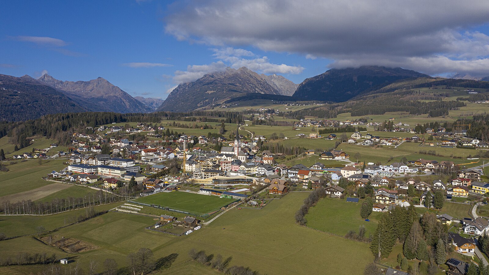
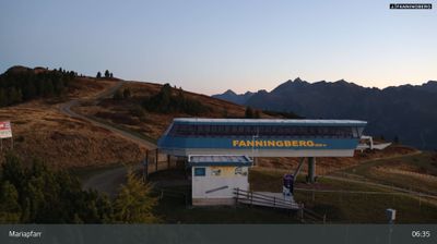
实时摄像头



开放缆车: 0/6
积雪报告
- 过去24小时: 0 厘米
- 过去72小时: 0 厘米
- 过去7天: 0 厘米
- 过去7天: 山谷 0厘米 · 山腰 0厘米 · 山顶 0厘米
- 本季累计: 2.8 厘米
About Fanningberg
A sunny Lungau secret favored by Austrian families for its wide, wind-sheltered slopes and unpretentious mountain lodge culture.
Highlights
- Family-friendly terrain
- Wind-protected slopes
- Traditional pine forests
- Rustic mountain huts
Key Facts
- Altitude: 1503m
- Top lift: 2115m
- Ski pistes: 24km
- Ski lifts: 5
- Population: 40
- Lakes nearby: 37
- MTB trails: 167.7km
- Mountain huts: 21
Ski Area
已包含在以下滑雪通票中
Weather and 10-day forecast for Fanningberg
- Today: 2 to 11 °C, rain showers, 1 h of sunshine
- Freezing level today: about 2828 m (2130 to 3590 m)
| Day | Min / max | Sky | Precipitation | Sunshine |
|---|---|---|---|---|
| 9月24日周四 | 2 / 11 °C | rain showers | dry | 1 h sun |
| 9月25日周五 | 1 / 10 °C | clear sky | dry | 12 h sun |
| 9月26日周六 | 3 / 16 °C | clear sky | dry | 12 h sun |
| 9月27日周日 | 5 / 16 °C | clear sky | dry | 12 h sun |
| 9月28日周一 | 6 / 19 °C | clear sky | dry | 12 h sun |
| 9月29日周二 | 5 / 18 °C | clear sky | dry | 11 h sun |
| 9月30日周三 | 5 / 15 °C | partly cloudy | dry | 6 h sun |
| 10月1日周四 | 3 / 13 °C | clear sky | dry | 7 h sun |
| 10月2日周五 | 3 / 13 °C | overcast | dry | 1 h sun |
| 10月3日周六 | 5 / 12 °C | drizzle | dry | 1 h sun |
Things to do in Fanningberg
Hikes nearby — Fanningberg (20)
20+ curated hiking trails around Fanningberg, sourced from OpenStreetMap and enriched with distance, elevation gain and difficulty.
-
Zechnerkarspitzweg
-
Wanderweg 774
Schladming - Obertal - Hopfriesen - Eschachboden - Neualm - Keinprechthütte - Lignitzhöhe - Lignitzalm
-
Wanderweg 764
-
Wanderweg 41, Trogalm-Rundweg
-
Wanderweg 761
NONE (The excerpts describe the Fanningberg area and various routes generally, but none specifically describe Wanderweg 761 by name or with details clearly attributable to that distinct trail.)
-
Wanderweg 760
The Fanningberg trail climbs through the eastern slopes of the Schladminger Tauern, a mountain the locals of the Salzburger Lungau have long used for skiing, reaching a high ridge that connects the twin 2.115 m summits of Zechnerriegel and Fanninghöhe. On the descent, walkers can ride the 6er-Samsonbahn gondola back down — though it doesn't run every day in summer.
-
Annakapelle
-
Wanderweg 745 Ost
-
Fanningbergrundweg
-
Moserkopfrundweg
-
Stampflrundweg
-
Hammerrundweg
-
Wanderweg 40, Traning-Rundweg
-
Gröbendorfrundweg
-
Stockerfeldrundweg
-
Wanderweg 765
-
Grabenrundweg
-
Kürofenrundweg
-
Lasenrundweg
-
Fernwaldrundweg
Mountain biking near Fanningberg
- Preber-Runde
- Mitterberg-Plus-Runde
- Trogalm-Runde
- Lantschfeld Route
- Fanningberg-Runde
- Lessach-Runde
- Neuseß-Runde
- Hollerberg-Runde
Getting to Fanningberg
Door-to-door travel times as used by the MR. ALPS ranking.
- Nearest airport: Salzburg Airport (SZG), 87 km away, about 1h38 by road
- Graz: 2h30 by car, 175 km
- München: 3h01 by car, 249 km
- Innsbruck: 3h34 by car, 287 km
- Wien: 3h40 by car, 291 km
- Bolzano - Bozen: 4h07 by car, 269 km
- Padova: 4h12 by car, 376 km
Where to stay in Fanningberg
200 places to stay for a night on 2026-09-25, from 96 EUR per night, median 288 EUR. Prices are direct with hotels and destinations, compared live on the Fanningberg page.